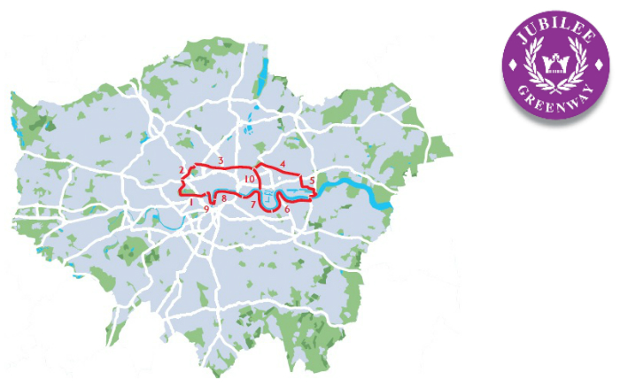
Jubilee Greenway 3 & 4 – Camden to Hackney Wick

Another sunny day, so we took the opportunity to do the next section of this walk.

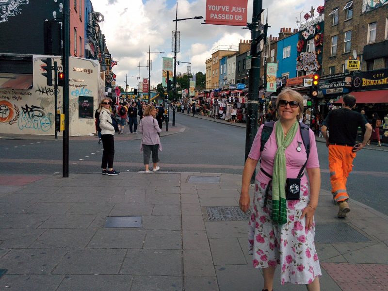
We returned to Camden Town station and headed towards the busy Camden Lock market – too many tourists!

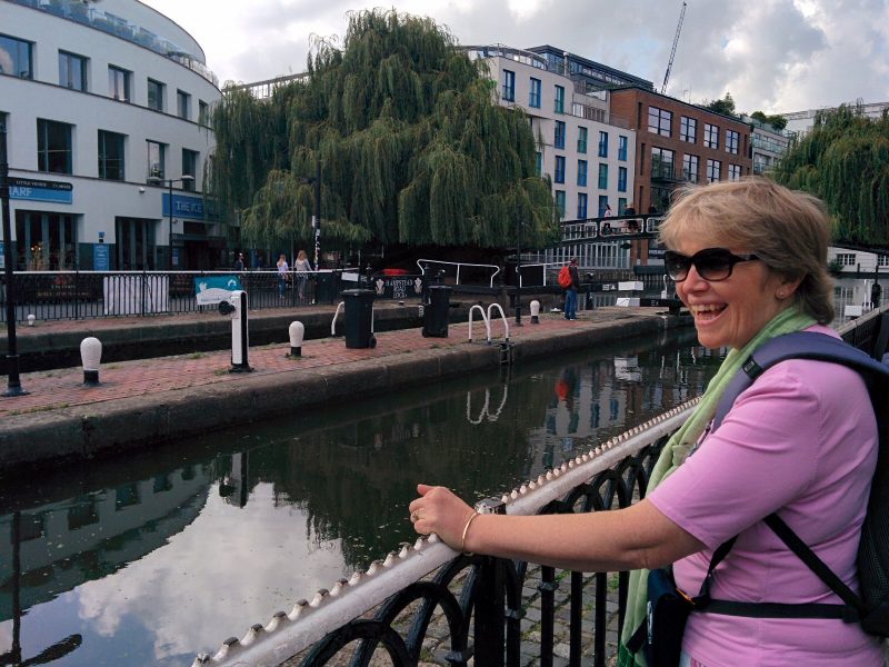
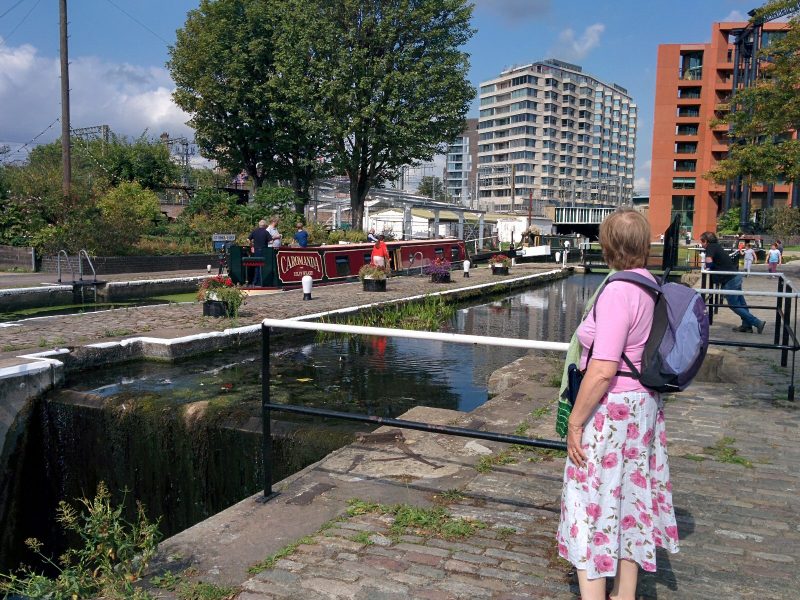
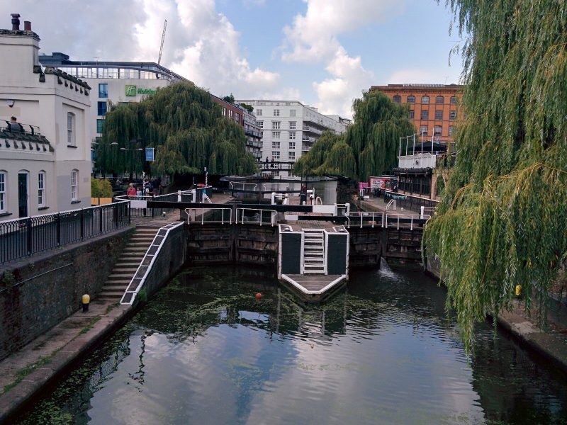
It was quieter by the canal though; this is Hampstead Road Lock:

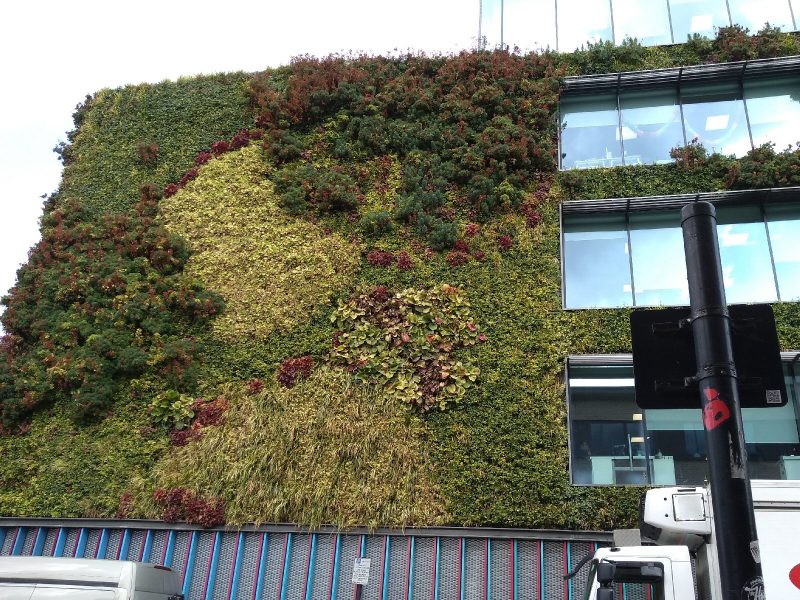
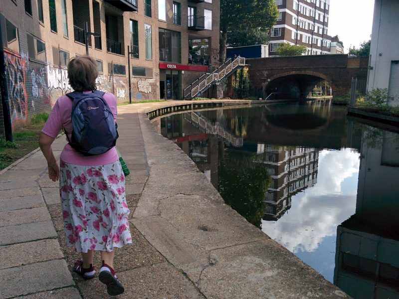
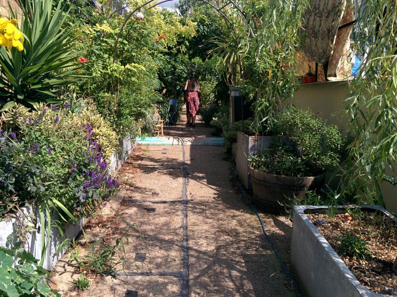
Unfortunately, the towpath onward was closed due to building work, but circumnavigating the streets to rejoin the canal, we found this lovely green wall:

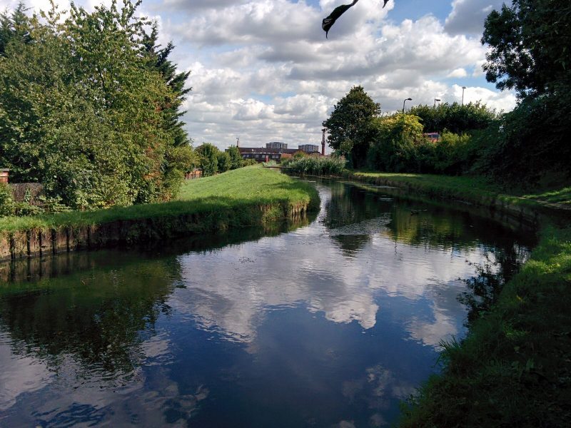
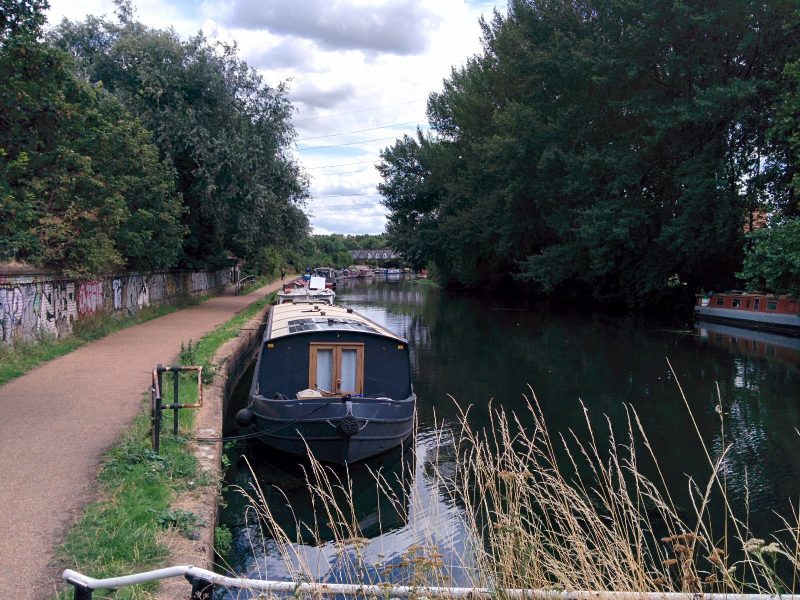
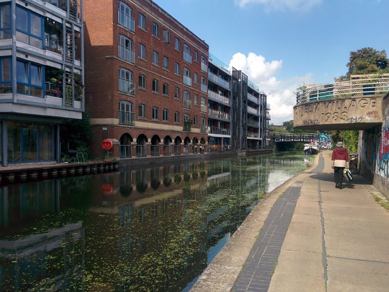
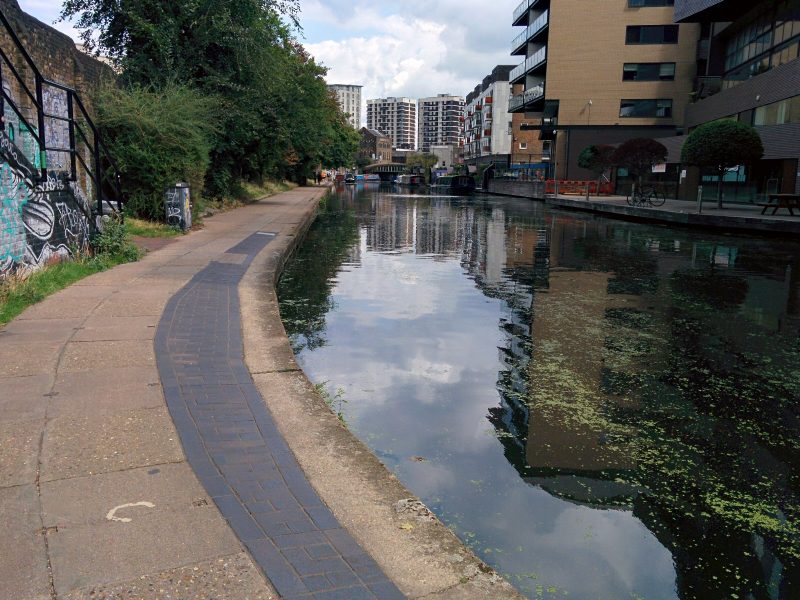
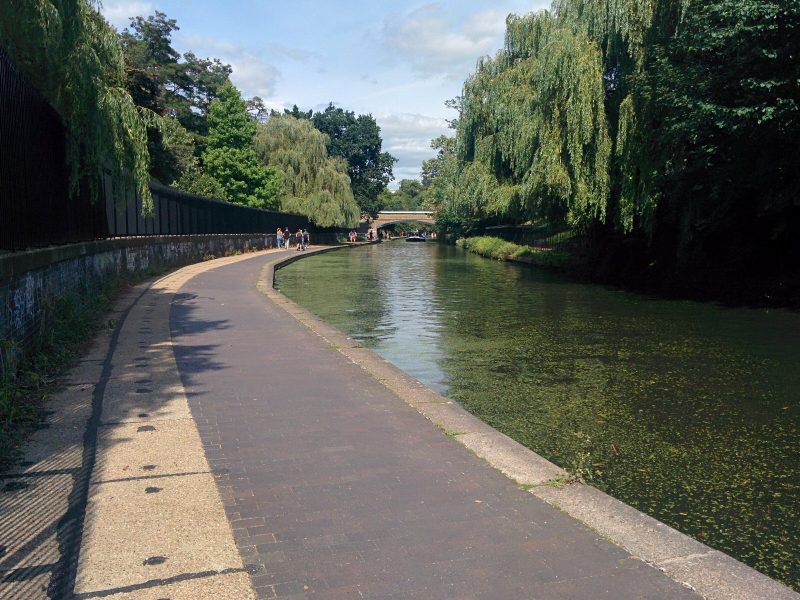
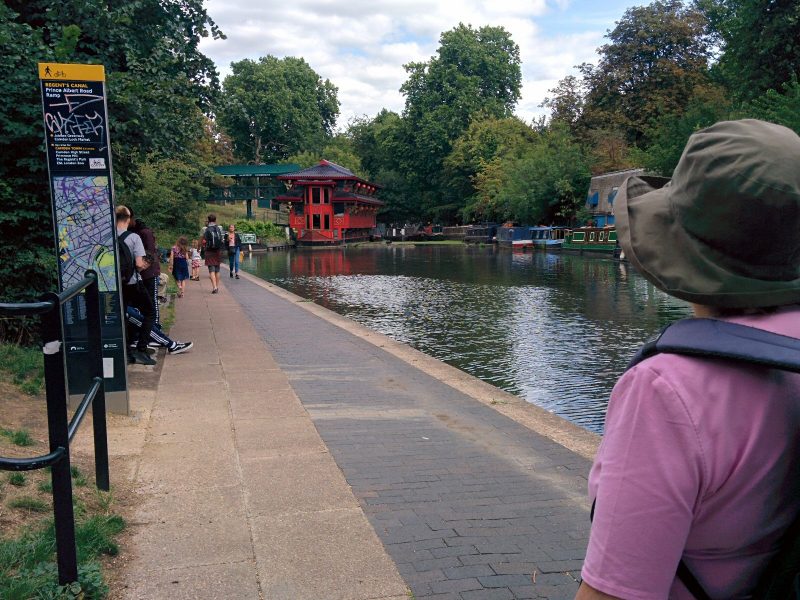
Then finally, we were back on our route along the canal:

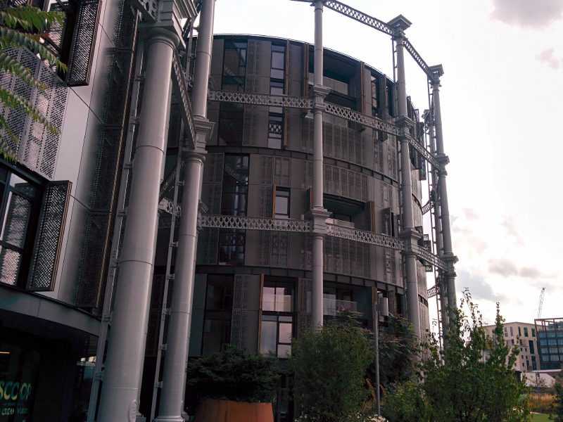
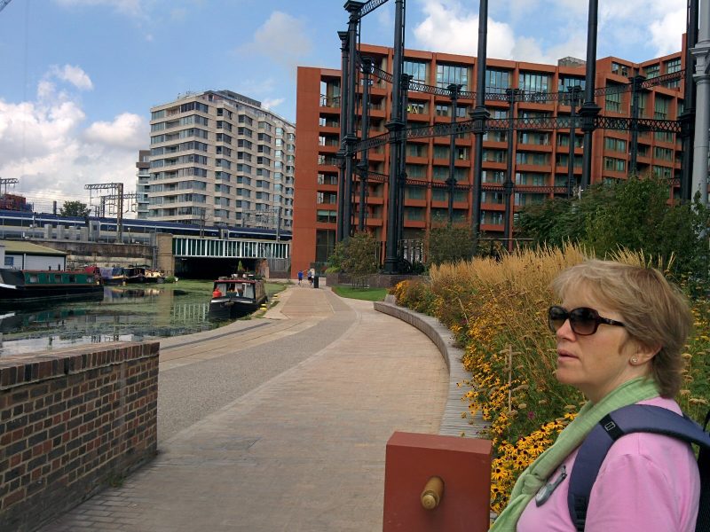
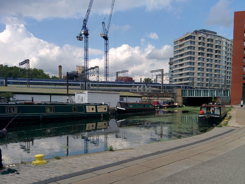
Next stop was St Pancras Basin, with some interesting re-purposing of the old gas holders:

We watched a Eurostar come into St Pancras; very much the old and the new together:

St Pancras Lock is pretty:

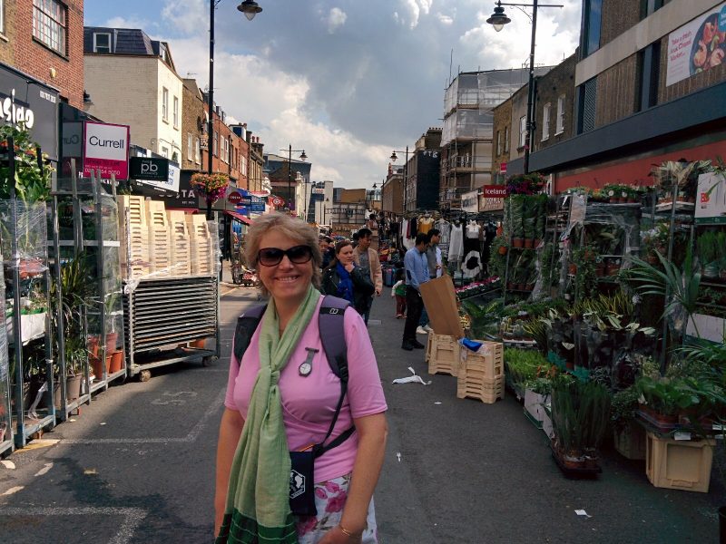
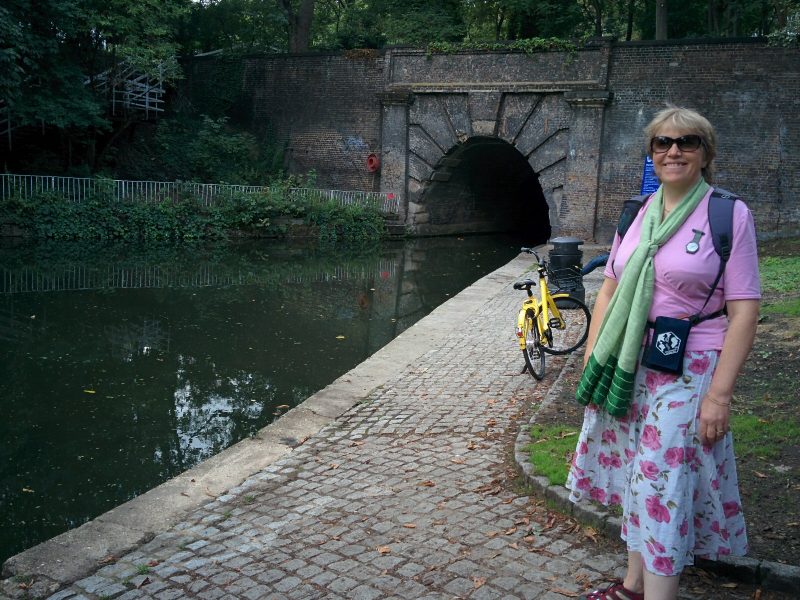
Further on, we reached the Islington Tunnel, and had to divert over it. This was a much nicer diversion than with the earlier Maida Hill Tunnel, leading through a quiet housing estate and the busy (but not touristy) Chapel Market:

After some lunch, we rejoined the canal at the east end of the tunnel:

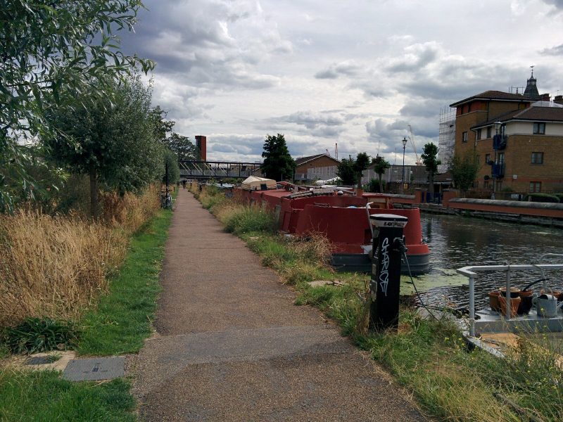
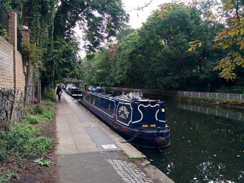
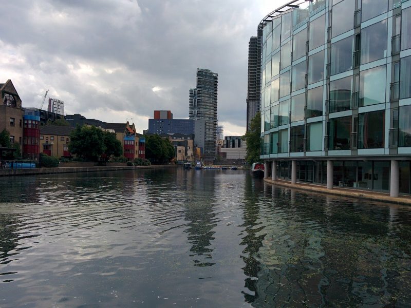
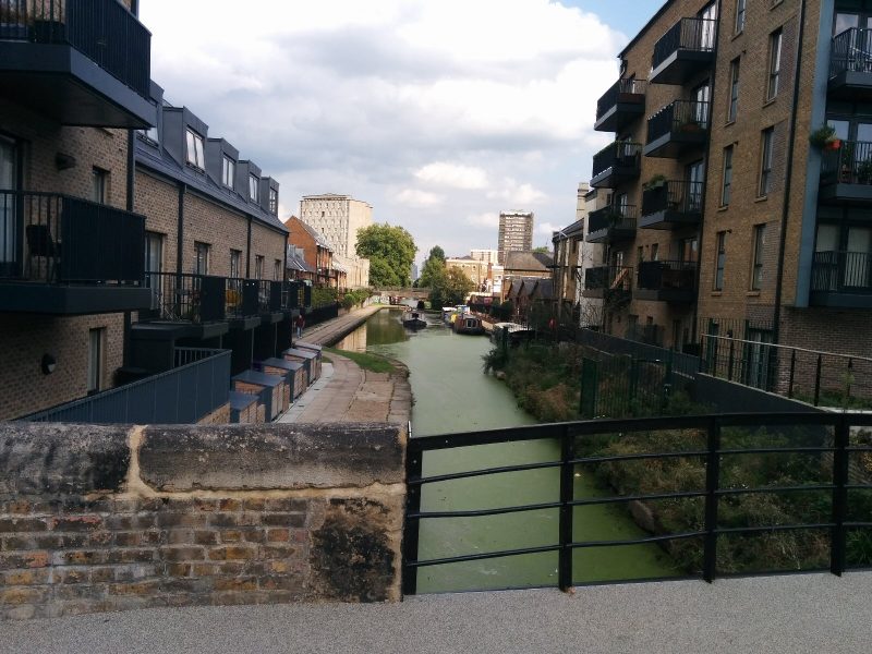
and followed the ever changing canal onwards through the Shoreditch area:

We should have turned off into Victoria Park, but instead followed the Hertford Union Canal for a bit before getting to the park:

Section 4

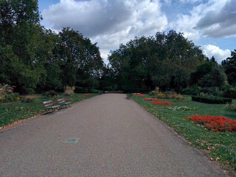
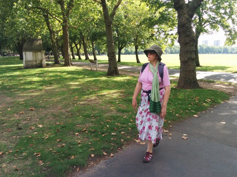
Victoria Park is enormous, and very well kept:
Victoria Park covers 218 acres and was originally laid out by Sir James Pennethorne between 1842 and 1846; he had been a pupil of the architect, John Nash, and was himself Architect to the Commissioners of Woods and Forests. Victoria Park’s design was much inspired by Nash’s work at Regent’s Park.

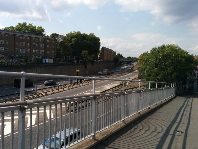
After a nice cup of tea in the park cafe, we braved the footbridge over the A12 and the rough end of Hackney to reach Hackney Wick station and the train(s) home:

7.1 miles of Jubilee Greenway walking and 1 Geocache today.

For more information on the Jubilee Greenway, see https://tfl.gov.uk/modes/walking/jubilee-greenway


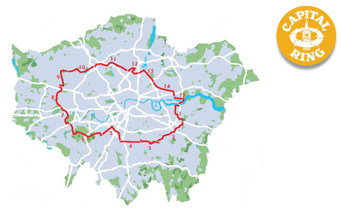
Capital Ring 12 & 13 – Highgate to Hackney Wick

After the summer heat, it’s now a bit cooler, so time to continue my Capital Ring Walk.

It was a reasonable journey to Highgate Tube Station:
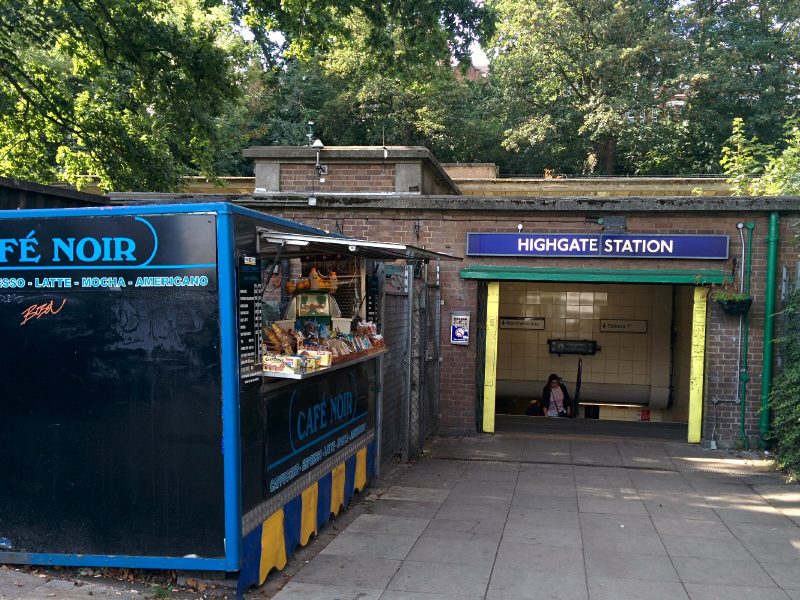
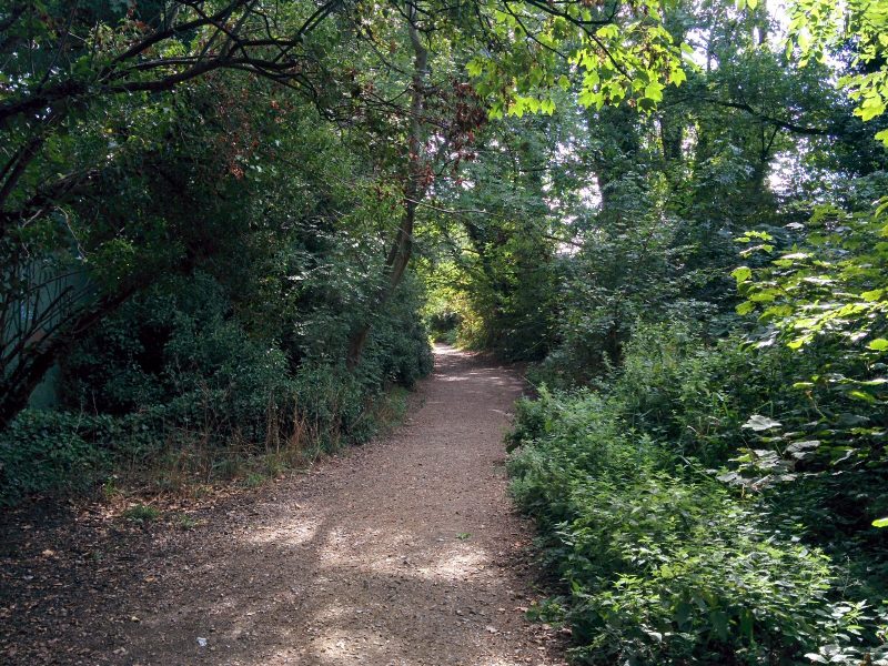
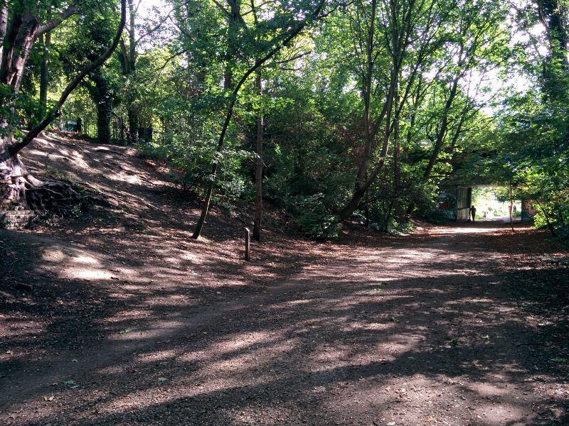
and a short walk through suburbia to the “Parkland Walk”, a quiet nature reserve created from a disused railway line:
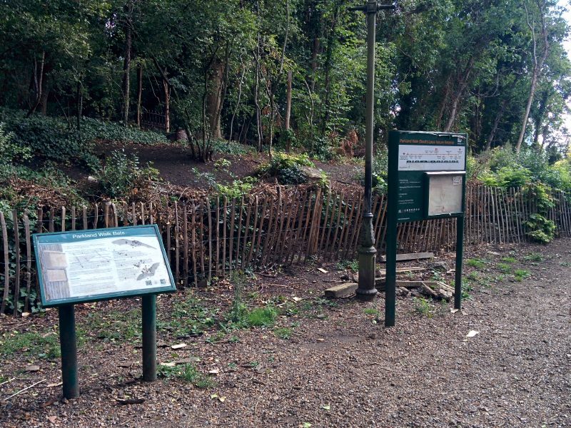
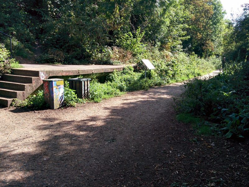
The railway line, now occupied by the Parkland Walk, was opened by the Great Northern Railway in 1867. In the 1930s, as part of the ambitious New Works Programme, London Underground planned to electrify it and take it over as part of the Northern line. Much work was done, including the new platform buildings at Highgate station. The work was abandoned at the outbreak of the Second World War and the line was closed to passengers in 1954. It remained in use occasionally for freight until 1970 after which the tracks were lifted. It is now a haven for wildlife with about 250 species of plants and the shy muntjac deer living here.


including a disused platform:

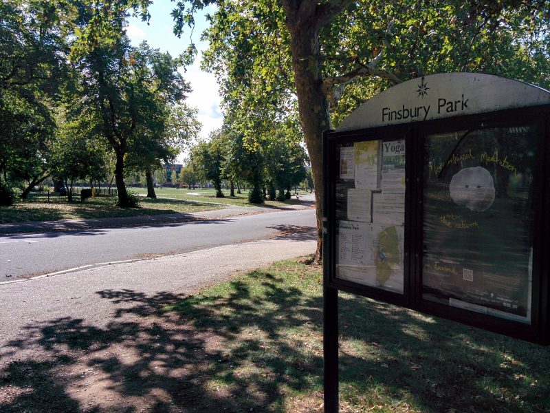
The route then crossed the East Coast Main Line and into Finsbury Park:
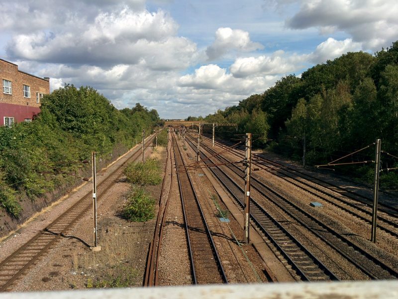

After crossing a busy road, the path then follows the “New River”:
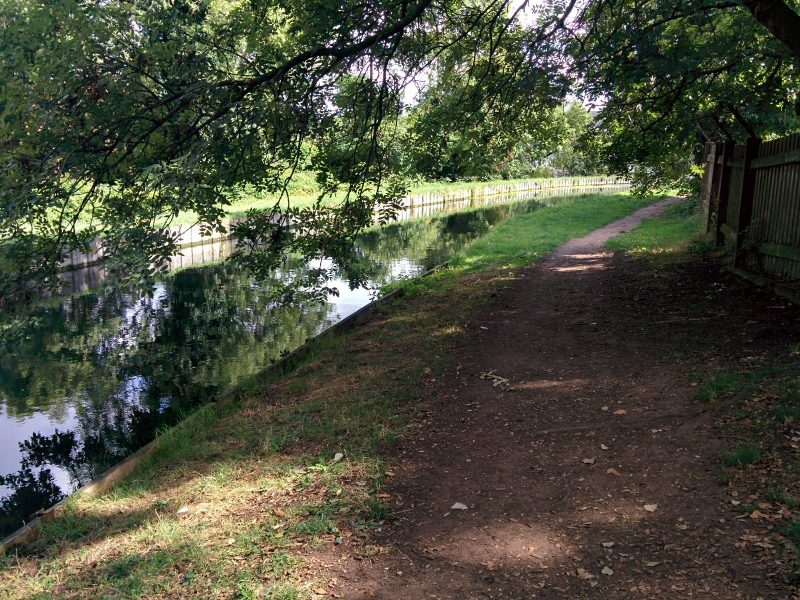
The New River is spectacularly misnamed, as it is neither new nor a river – it’s nearly four hundred years old and an ingenious artificial watercourse. Built at a time when fresh water for London was in very short supply, it brought water 40 miles from springs in Hertfordshire to Islington. Following a very twisting route, the gradient dropped very gradually so that gravity pulled the water along; the canal dropped two inches every mile. There was considerable opposition from local landowners and it cost a fortune, but the entrepreneur and goldsmith, Sir Hugh Myddelton, pushed it through with support from King James. Today the ‘river’ still supplies water to the capital. You can follow the river on foot for most of the way from Hertford to Islington.

The path then passes through the Woodberry Down Estate. “With some 50 blocks this forms the largest council housing estate in Britain.

and follows past the imaginatively named East Reservoir and West Reservoir:
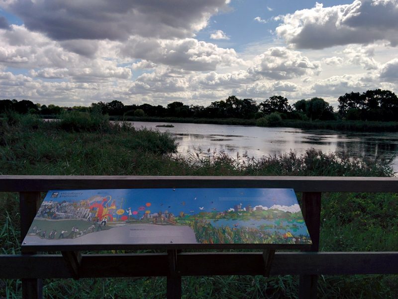
All too soon, the route crosses the New River and into the streets of Finsbury Park:
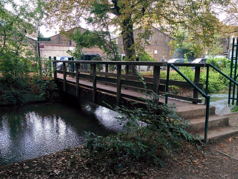
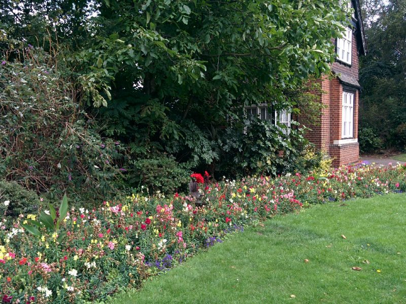
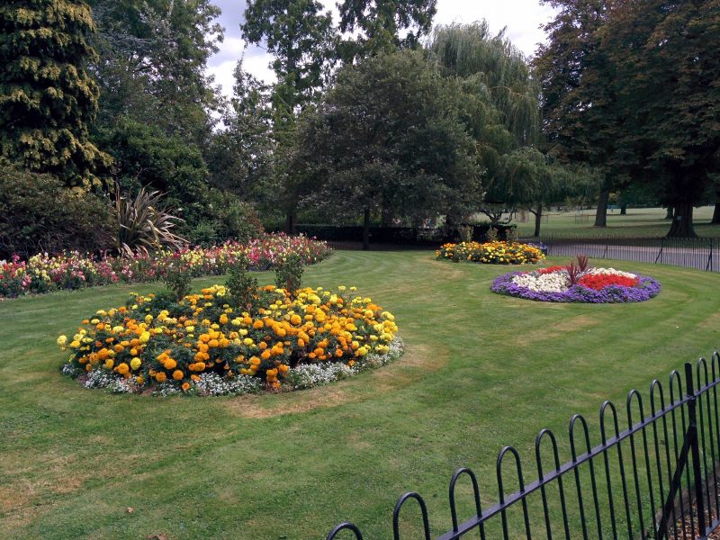
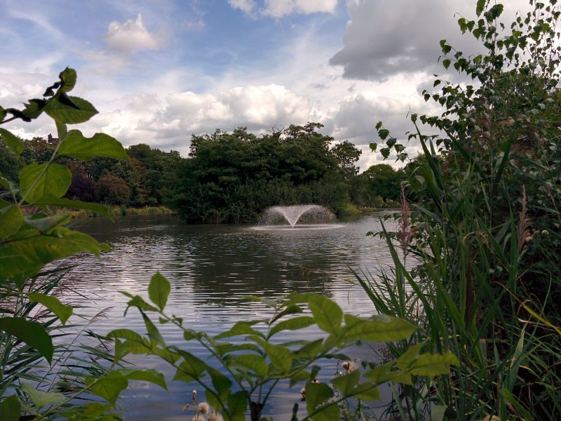
Next is Clissold Park, with some attractive planting, lake and cafe:
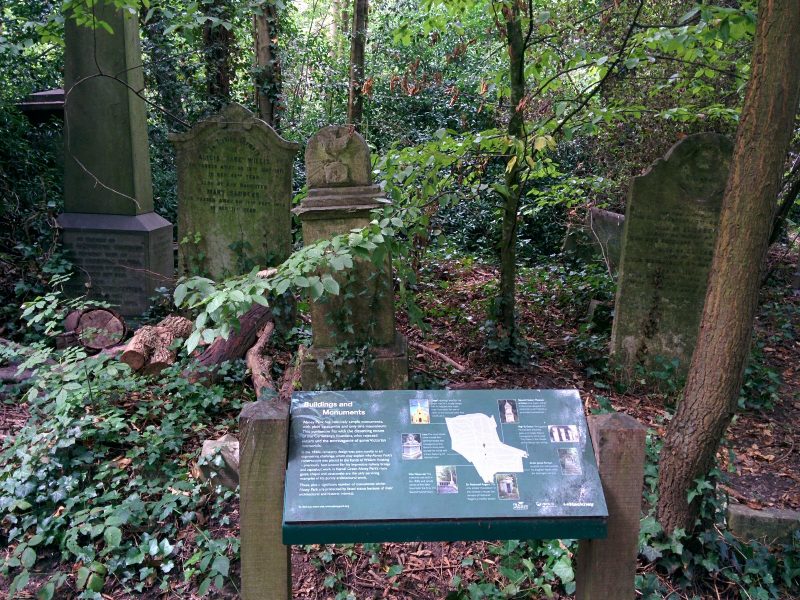
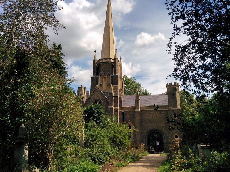
Finally for this section, the route goes through Abney Park Cemetery:
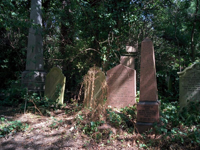
Abney Park Cemetery was the first European Garden cemetery – that is, with reception buildings, chapel and landscaping – to take a non-denominational approach with no separation between the graves of different religions; consequently there was no consecration of any part, except where individuals chose it for their plot.
It’s now a very evocative site and nature reserve where over 300,000 graves have been laid since it opened in 1840; many notable people are buried here.”

Section 13

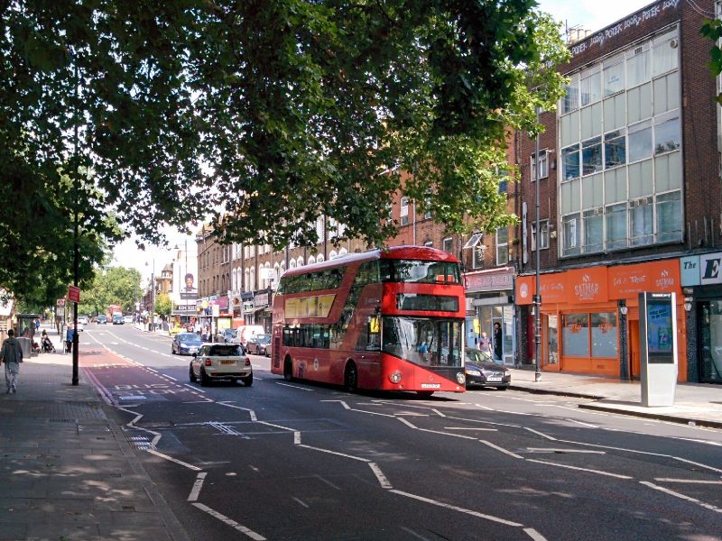
This starts with more road walking through Stoke Newington:
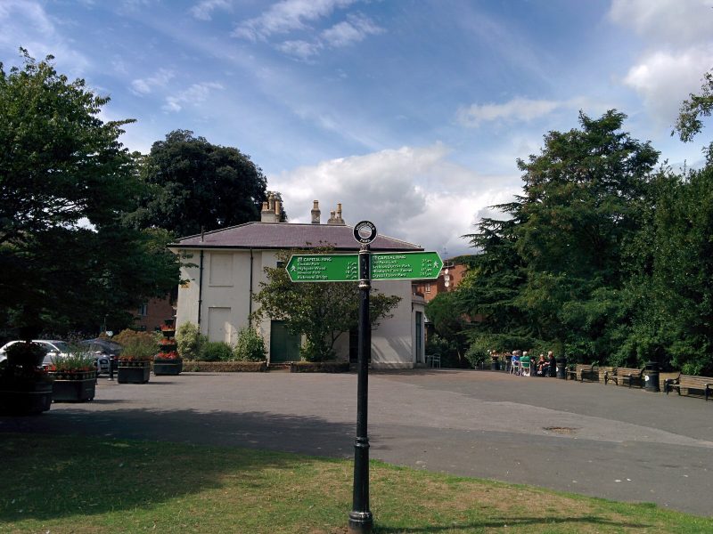
Then into Springfield Park:
with views down into the Lea Valley:
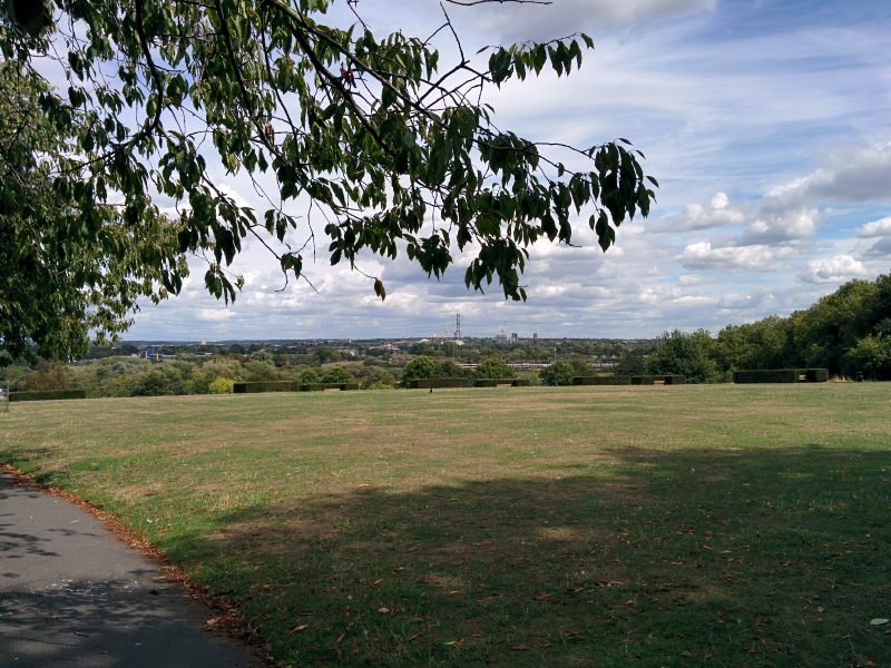
Springfield Park, opened to the public in 1905, has been designated as London’s first Regionally Important Geological Site – RIGS – and is on the English Register of Parks and Gardens of Historic Interest. The Park’s landforms tell a fascinating story about the geological history of the Lea Valley. The name comes from the series of springs that arise in the area from the combination of sand, gravel and London clay.

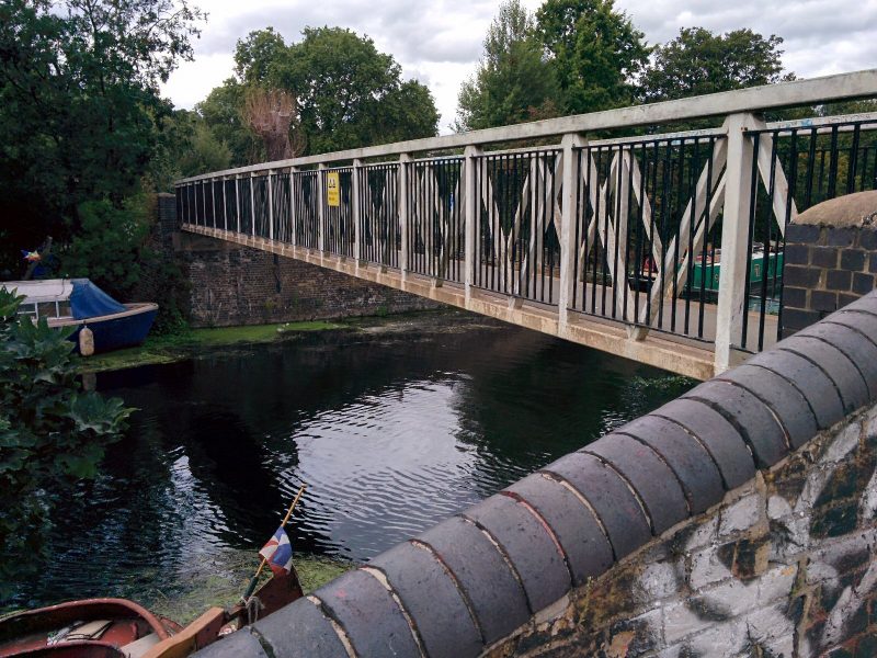
Dropping down the hill, we reach the Horse Shoe Bridge over the River Lea:
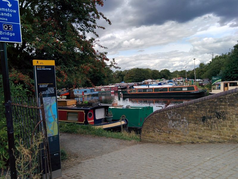
with views of Walthamstow Marshes:
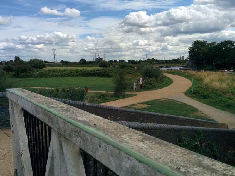
For centuries the River Lea formed the boundary between Essex and Middlesex. Now it forms the boundary between the boroughs of Hackney and Waltham Forest. Over that time the spelling of the river has caused problems as originally it was Ley, a field covered with grass. Acts of Parliament called it Lee although it appeared as Lea on many maps. There were disputes about the spelling for a long time and to settle them it was decided that the natural aspects of the river, such as river itself, would be spelt LEA and man-made features such as the canal would be spelt LEE.

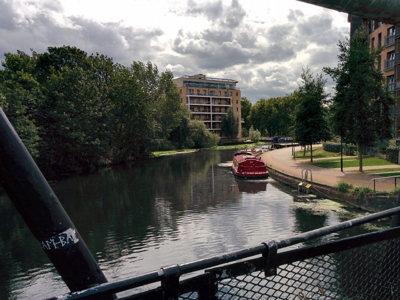
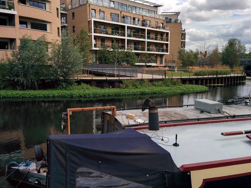
The path then follows the river down towards the Thames:
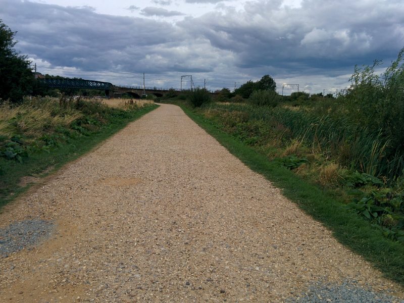


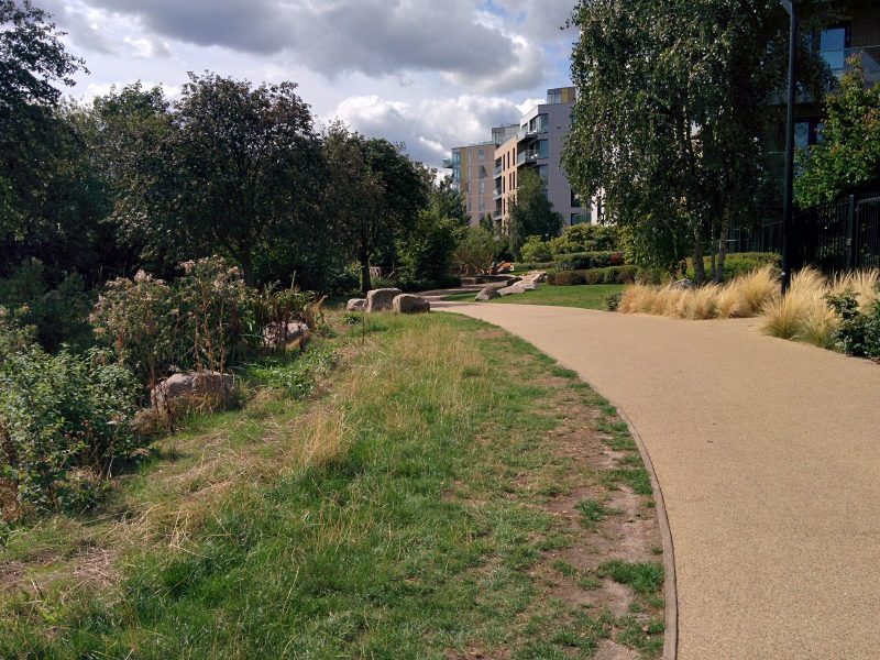
Eventually, the Olympic Park is seen in the distance:
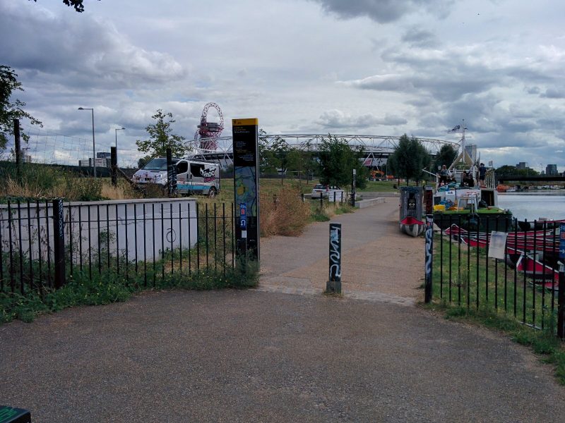
and a short detour leads to Hackney Wick Station and the train home:
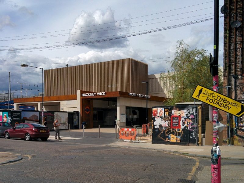
Yet again, all of the last stations that I’ve used on this walk all begin with H – Hanwell, Harrow, Hendon, Highgate and now Hackney Wick!

10 miles of Capital Ring walking today and 5 Geocaches found.

For more information on the Capital Ring, see https://tfl.gov.uk/modes/walking/capital-ring
Jubilee Greenway 1 & 2 – Buckingham Palace to Camden

Finally, two years after we first planned this, the sun was shining and we were both free to start our “joint” walk around London.
The Jubilee Greenway was completed in 2012 to mark the Queen’s Diamond Jubilee and the London 2012 Games. The most recent addition to the Walk London routes, the Jubilee Greenway is 60km (37 miles) long – one km for each year of the Queen’s reign, to link together all the major Games sites.

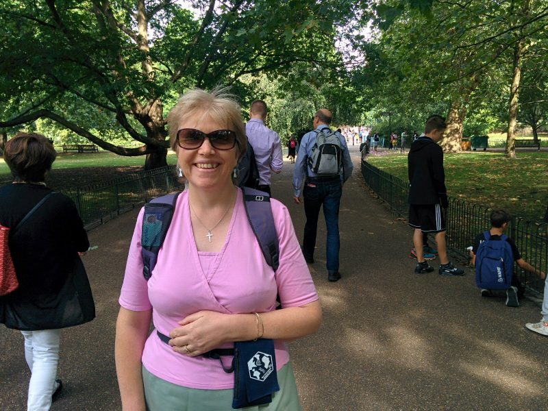
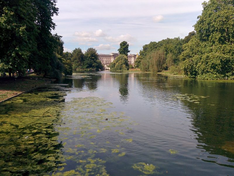
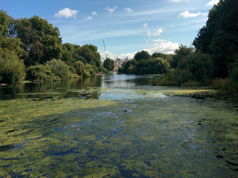
The official start is at Buckingham Palace; we went to St James’s Park Underground station and walked through the very pleasant St James’s Park to get there:

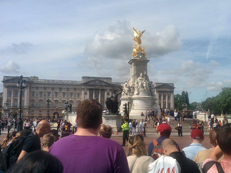
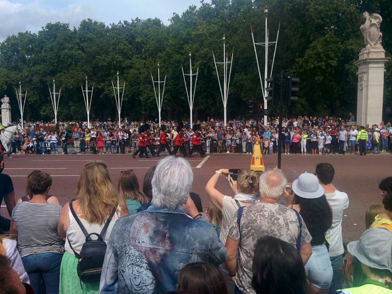
Unfortunately, our arrival at Buckingham Palace coincided with the Changing of the Guard, so the place was heaving with tourists:
and we couldn’t actually get to the start of the walk! So we nipped through Green Park to get to Constitution Hill and back to the Jubilee Greenway route.

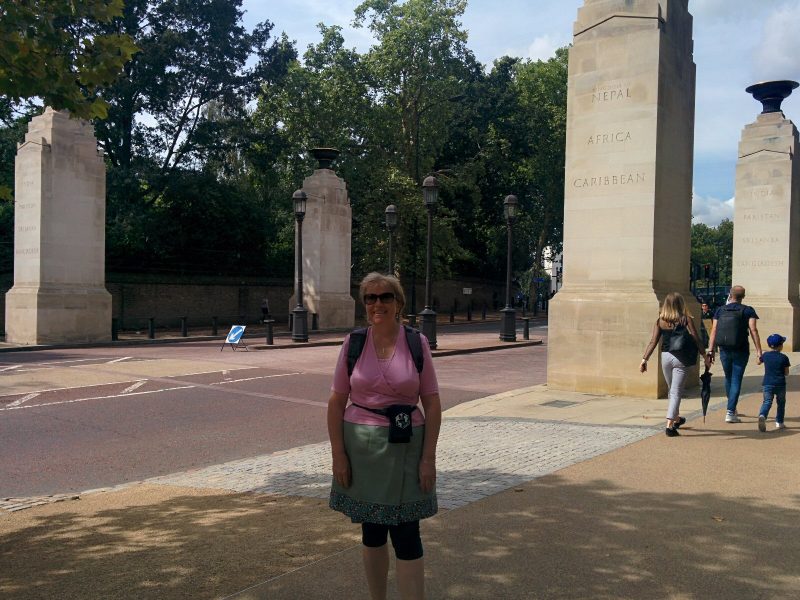
Neither of us had seen the Commonwealth Gates (erected 2001) before:

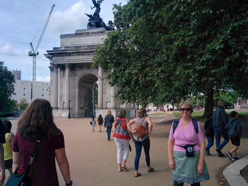
Next was Hyde Park Corner:

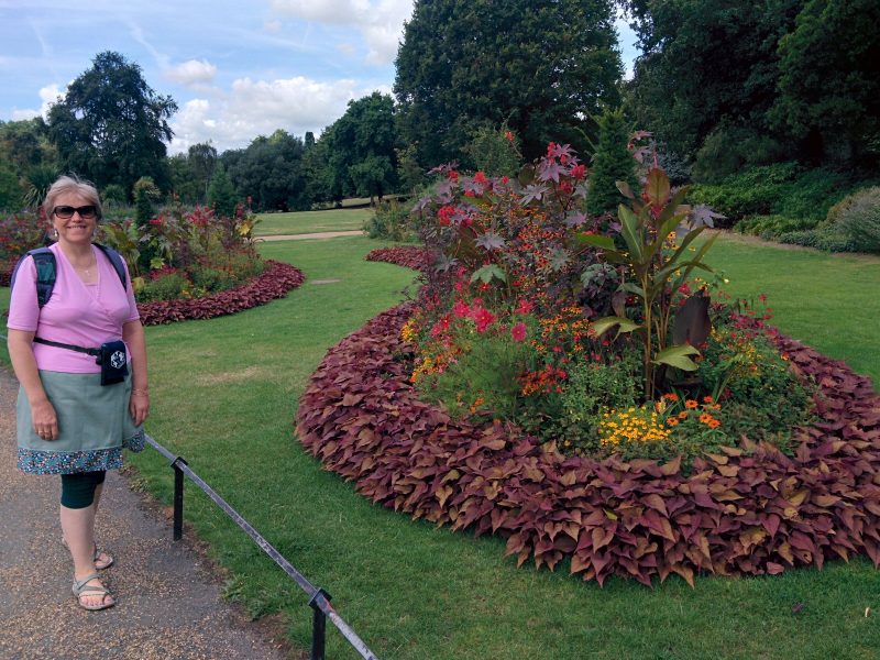
and a subway into Hyde Park itself, with some lovely planting:

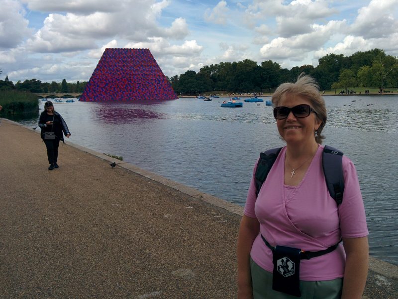
and a very strange object in the Serpentine:

(we never did find out what this was!).

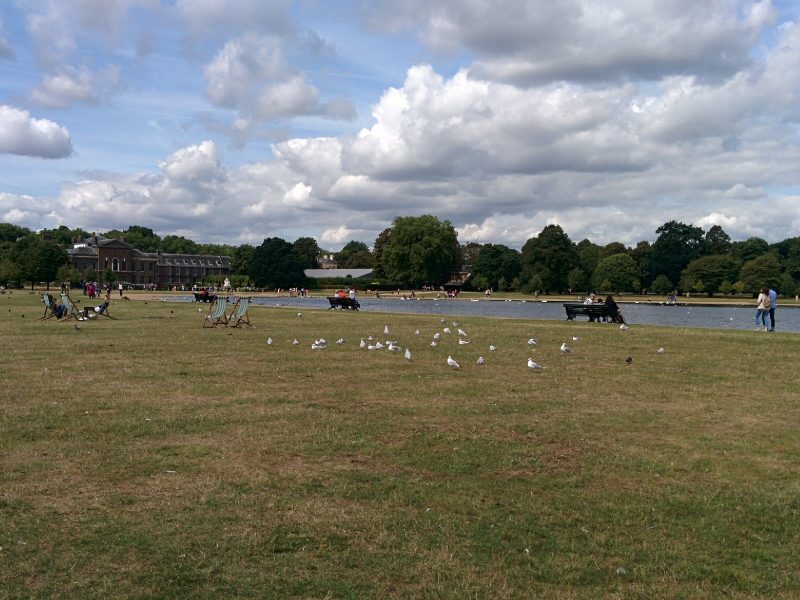
Kensington Gardens was next (with Kensington Palace in the background):

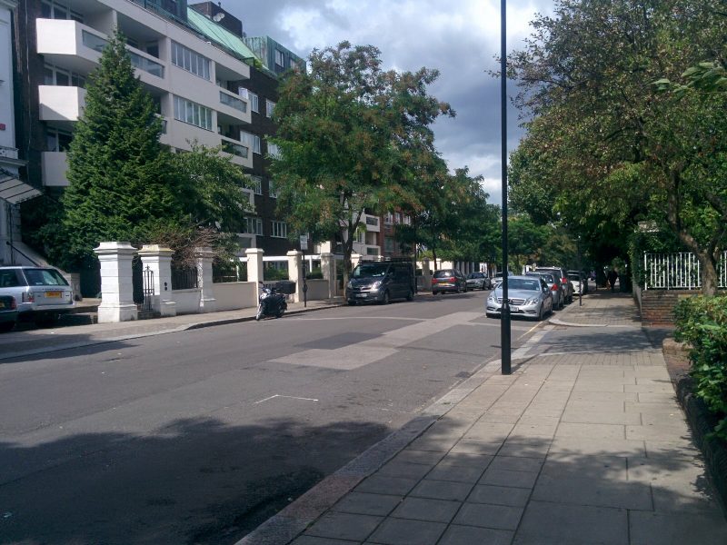
Finally, we’re back to ordinary London Streets, though I suspect we couldn’t afford to live in Porchester Terrace:

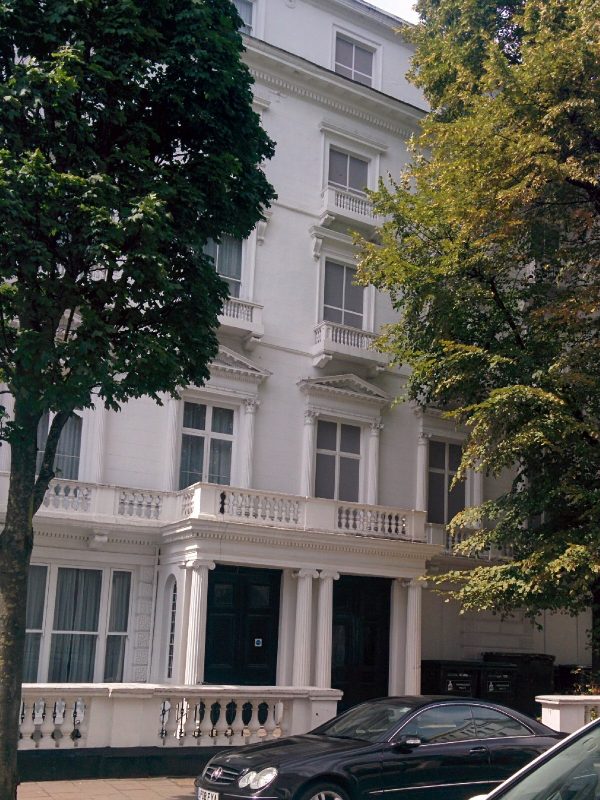
We detoured to Leinster Gardens, which “has two false facades at numbers 23 and 24, constructed when the original Underground trains were steam-powered. Locomotives were fitted with condensers to reduce fumes, but ‘venting off’ was still needed in open-air sections to relieve the condensers and keep the tunnels free from smoke. In this upmarket area, the railway company hid this unsightly practice from residents behind a false facade. The facade is 5 feet (1.5 metres) thick with 18 blackened windows and the doors have no letter boxes.
You can see the blanked out windows on the right.

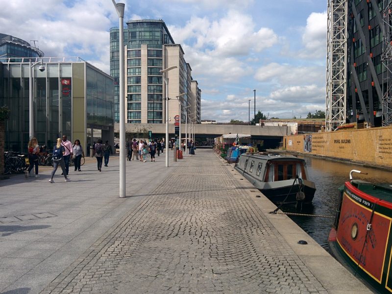
The route then followed streets towards Paddington Station, and after a stop for a beer, we reached the canal at Paddington Basin:

Paddington Basin is the terminus of the Paddington Arm of the Grand Union Canal. It was opened in 1801 and chosen because of its position on the New Road which led to the east, providing for onward transport. In its heyday, the basin was a major trans-shipment facility, and a hive of activity.
The Grand Union Canal is part of the British canal system. Its main line connects London and Birmingham, stretching for 220 kilometres (137 miles) with 166 locks.

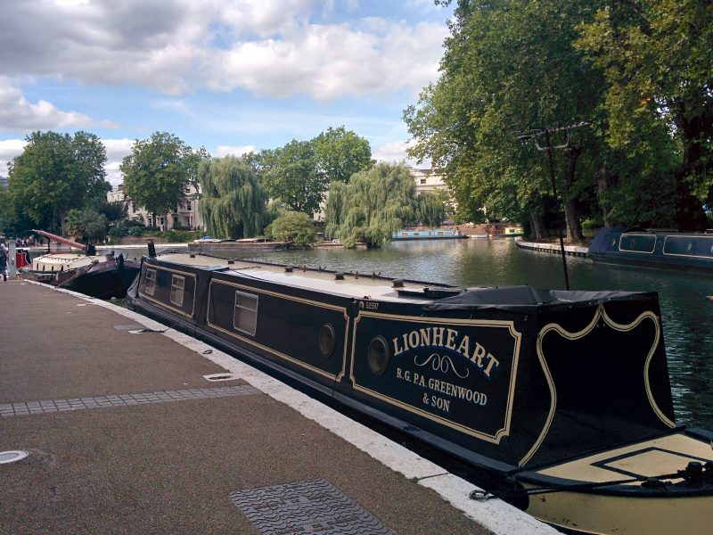
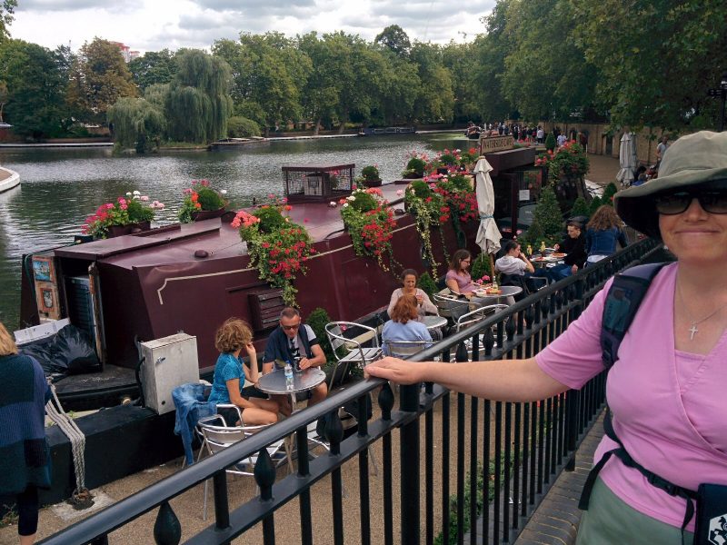
From here, we followed the canal to Little Venice and the end of section 1.
The Pool of Little Venice is a basin between the Regent’s Canal and the Grand Union Canal, with an island called Browning’s Island. The island is named after the poet Robert Browning, who lived as a widower at nearby Beauchamp Lodge in Warwick Crescent (now demolished). 2012 was the 200th anniversary of his birth.

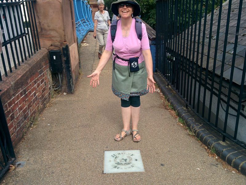
Notice the Jubilee Greenway marker in the pavement.

Section 2

This section follows the Regent’s Canal to Camden.
The Regent’s Canal provides a link from the Paddington arm of the Grand Union Canal, to the Limehouse Basin and the River Thames in east London. The canal is 8.6 miles (13.8 kilometres) long.

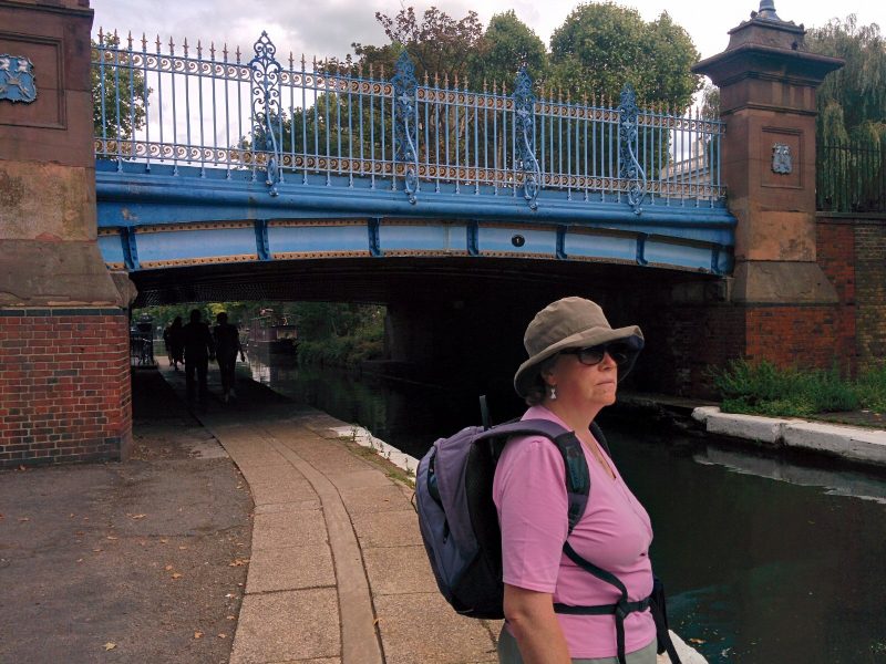
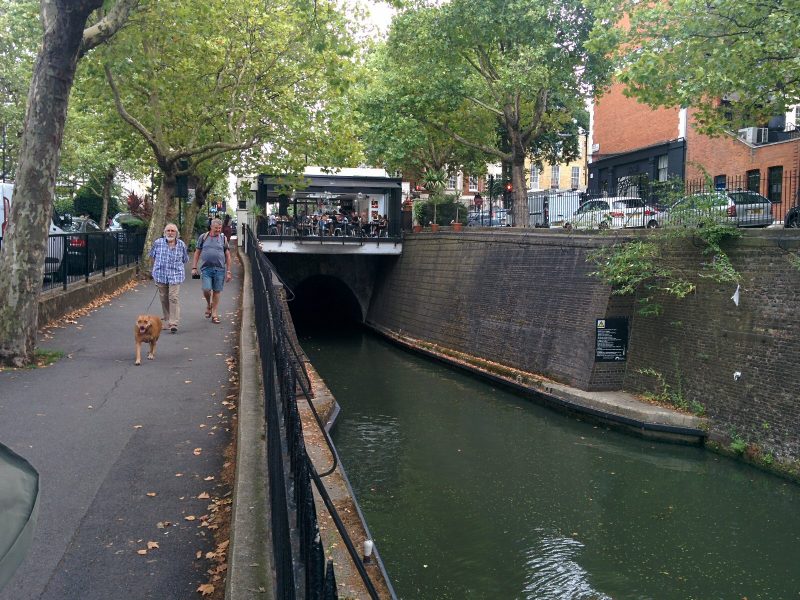
The route leaves the canal before Maida Hill Tunnel as there is no towpath through the tunnel:

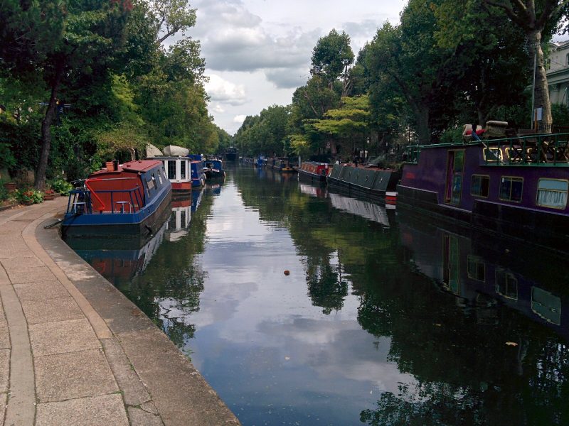
Further on, permanently moored boaters have made the towpath quite interesting!

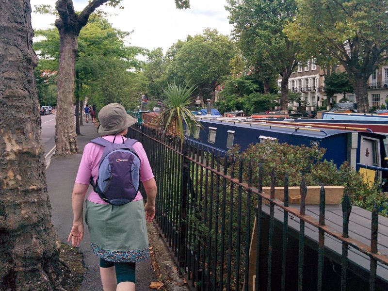
but then it’s back to a normal towpath:

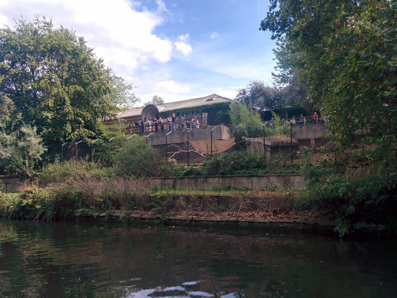
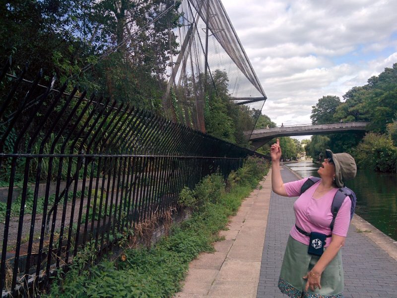
The canal goes past (well through!) London Zoo:

then on to Cumberland Basin, where we left the canal to get to Camden Town station:

7.2 miles of Jubilee Greenway walking today.

For more information on the Jubilee Greenway, see https://tfl.gov.uk/modes/walking/jubilee-greenway

Day trip to Canterbury

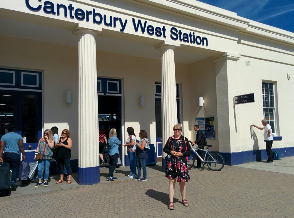
We decided to take the train to Canterbury, a pleasant journey through the Kent countryside.

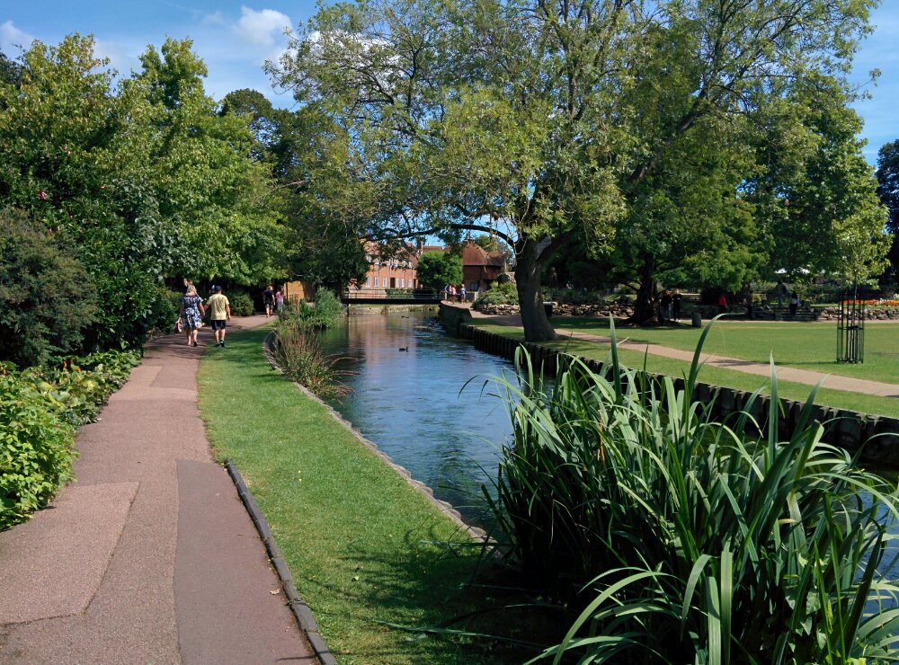
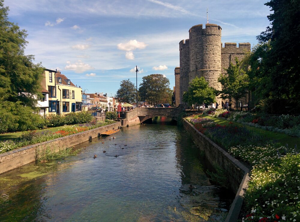
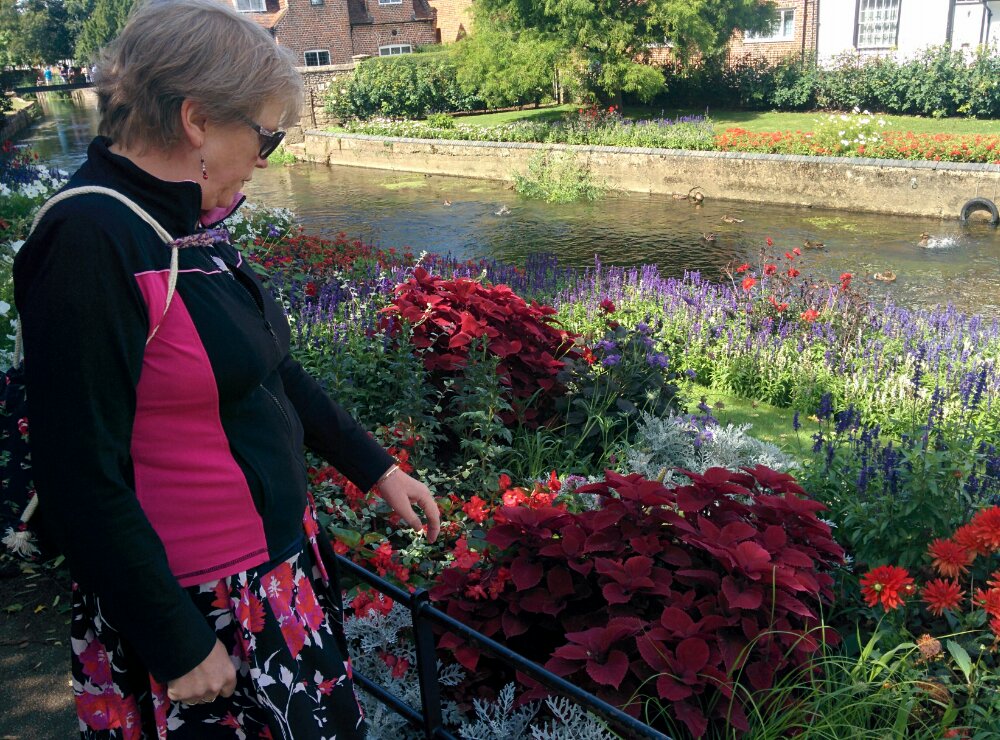
First, a quick beer, then a walk through Westgate Gardens:

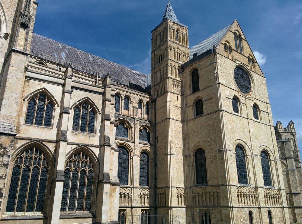
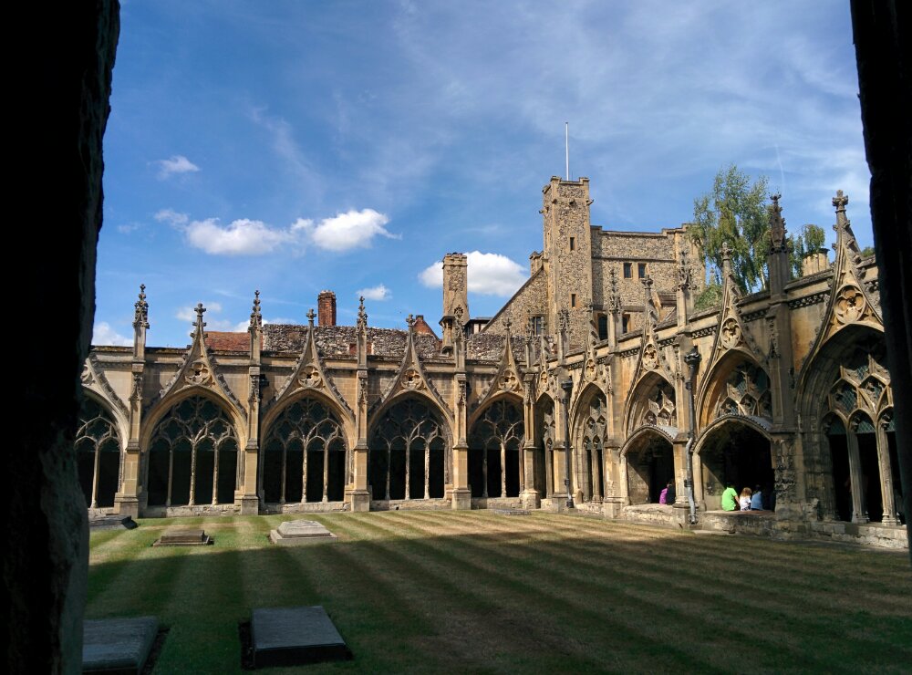
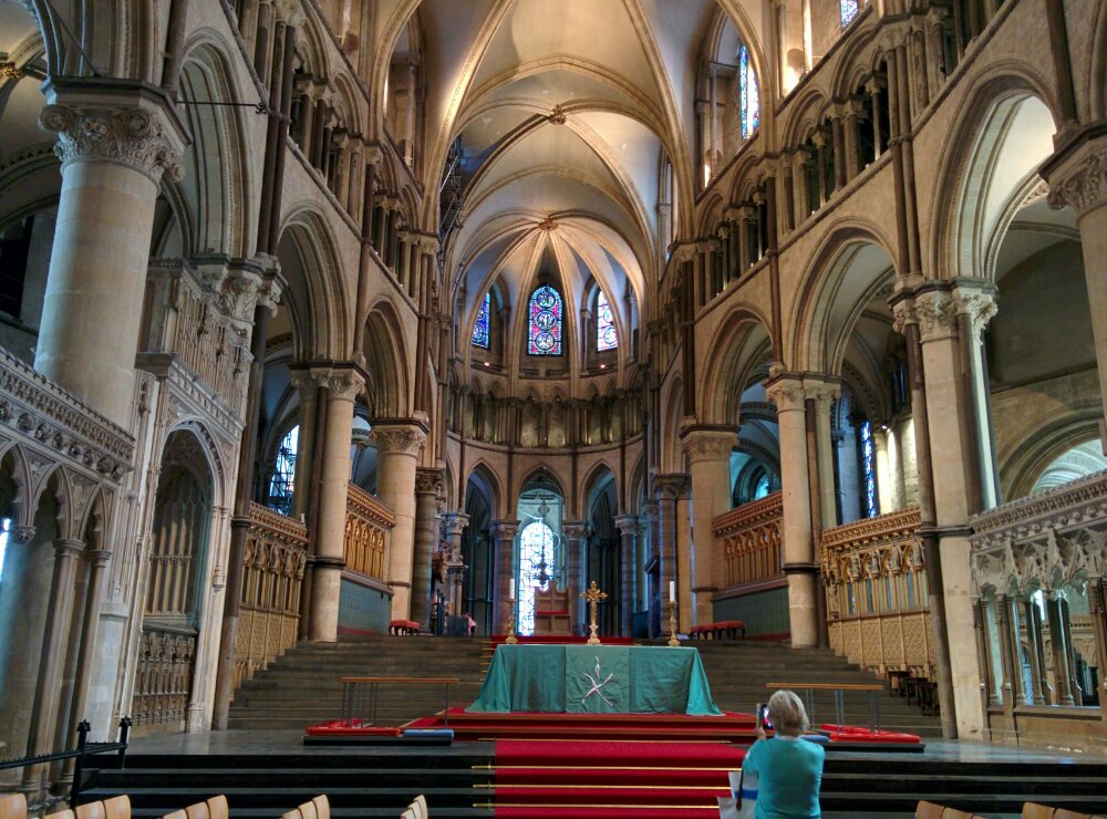
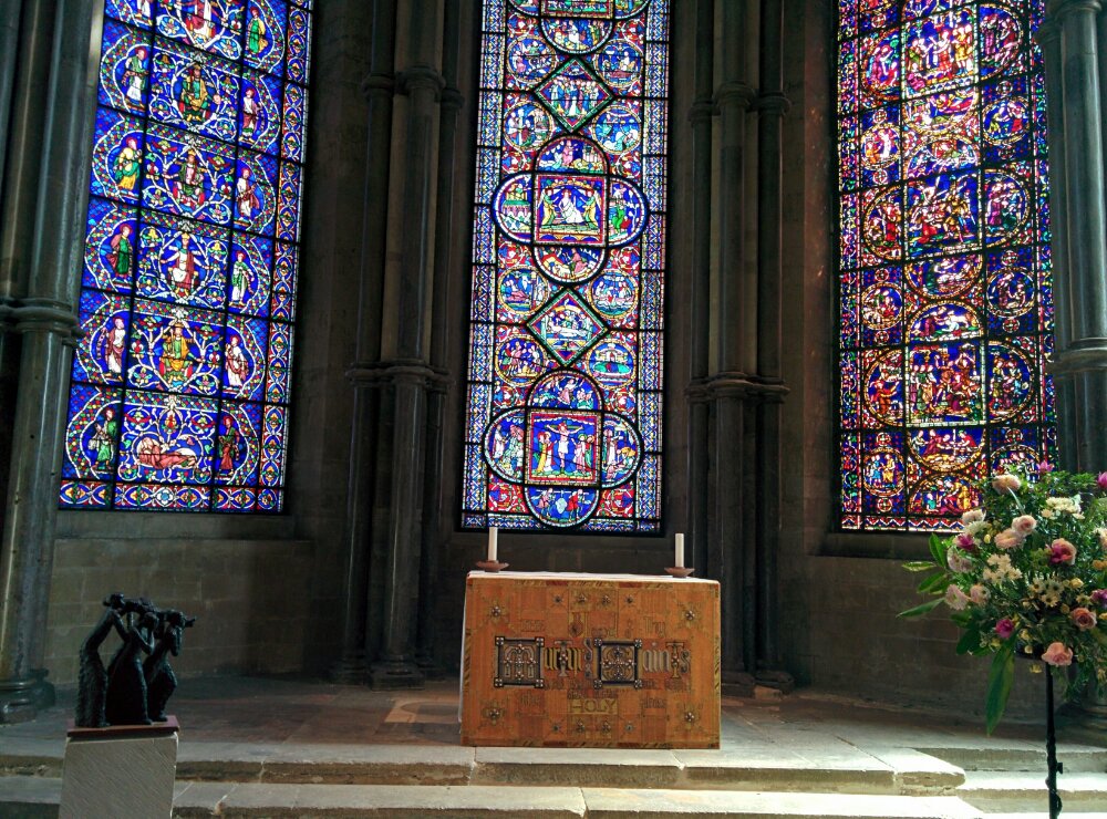
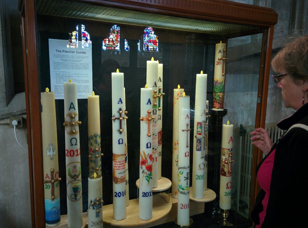
Next was the cathedral

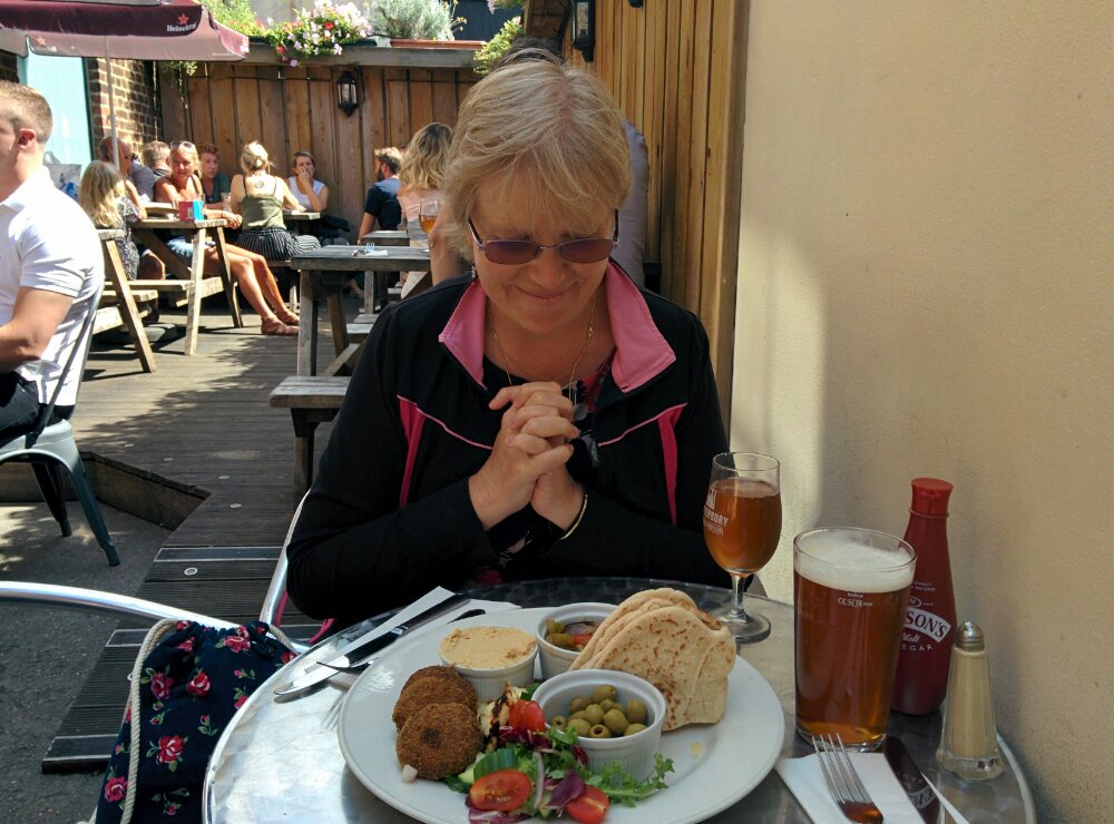
And lunch, with some excellent local beers:

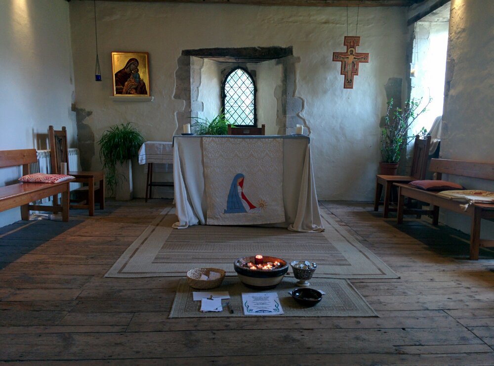
Later, we visited a small house and chapel in Greyfriars Gardens:

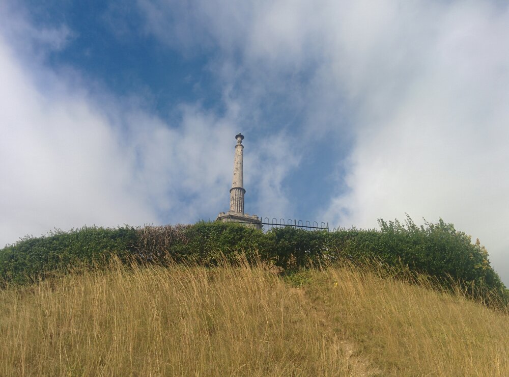
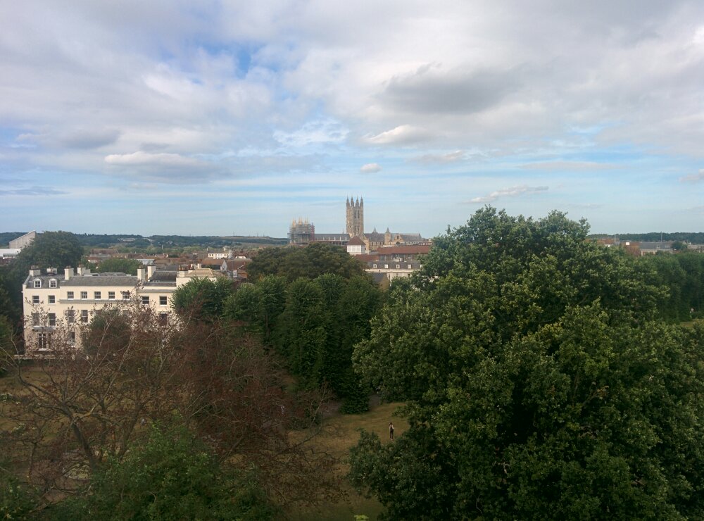
And climbed the only hill in Canterbury to look at the view:

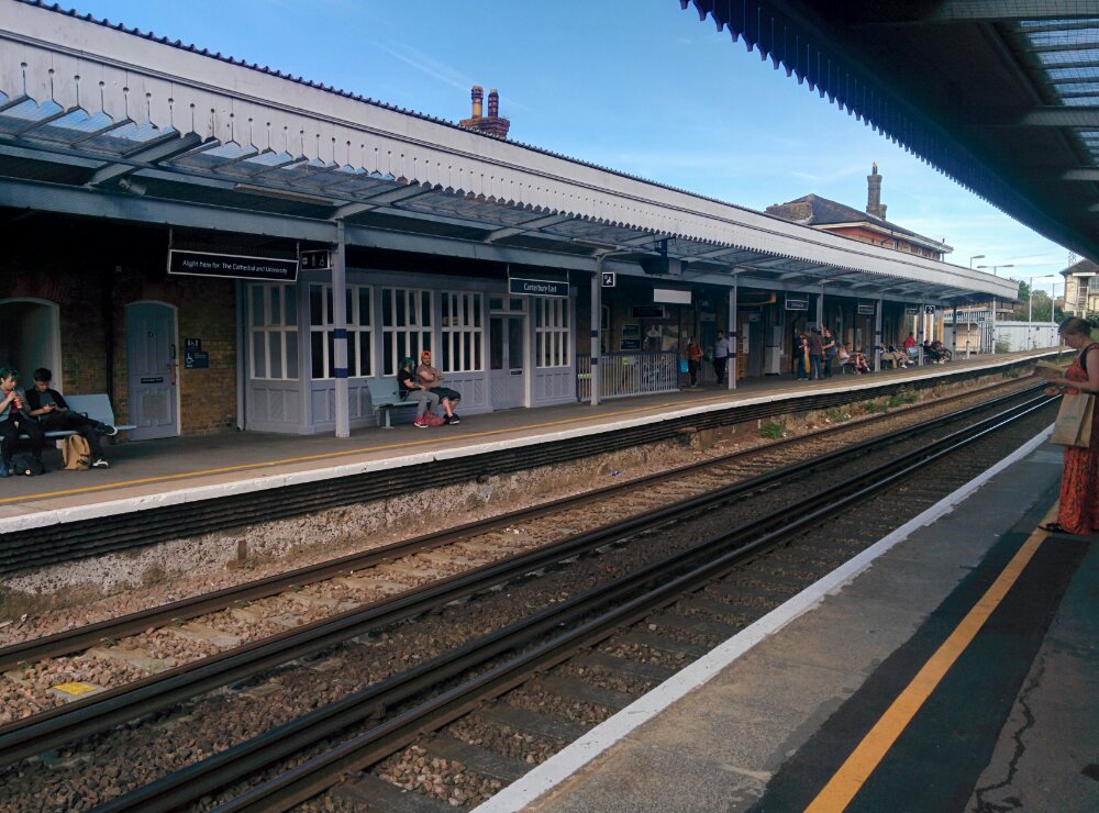
Then back to the other station and the train home by a different route via Rochester:

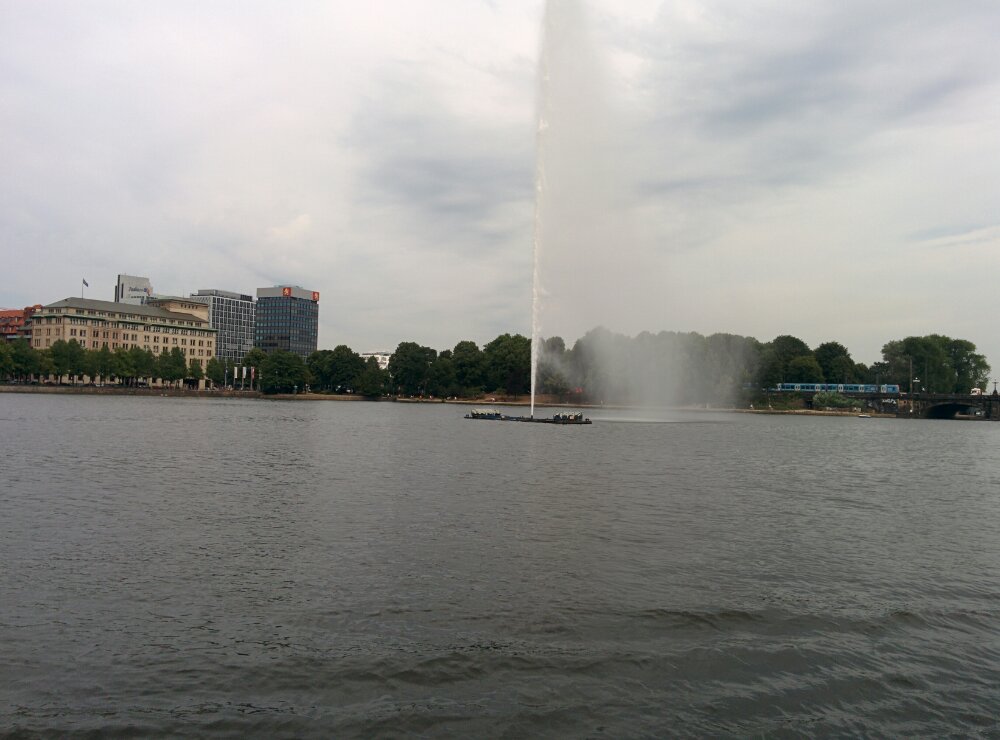
Hamburg – Alster Lake

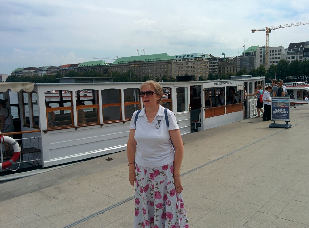
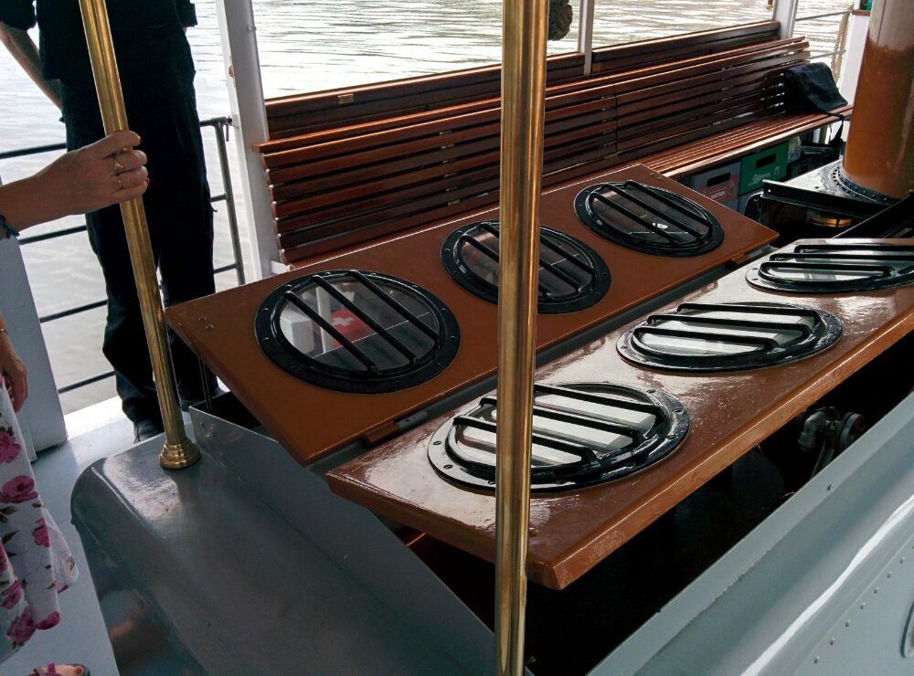
We decided to have a boat trip on this lake, and found a 96 year old steam powered boat instead of the modern tourist boats:

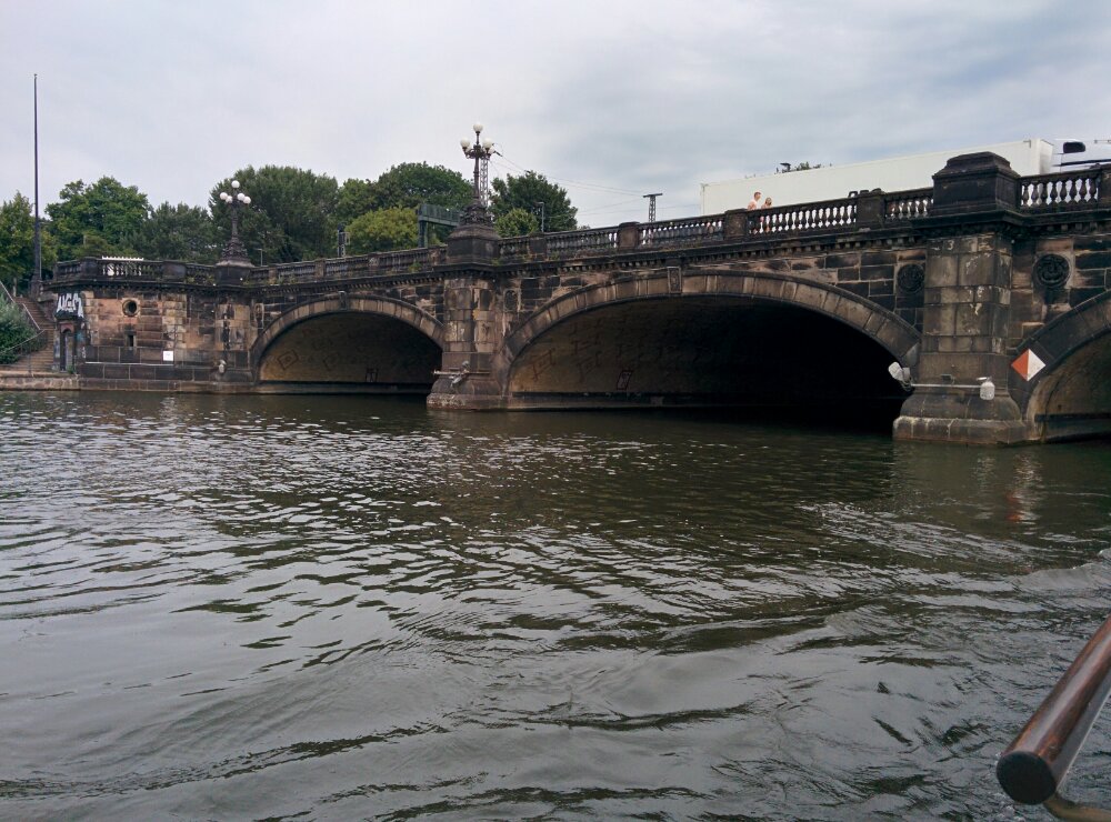
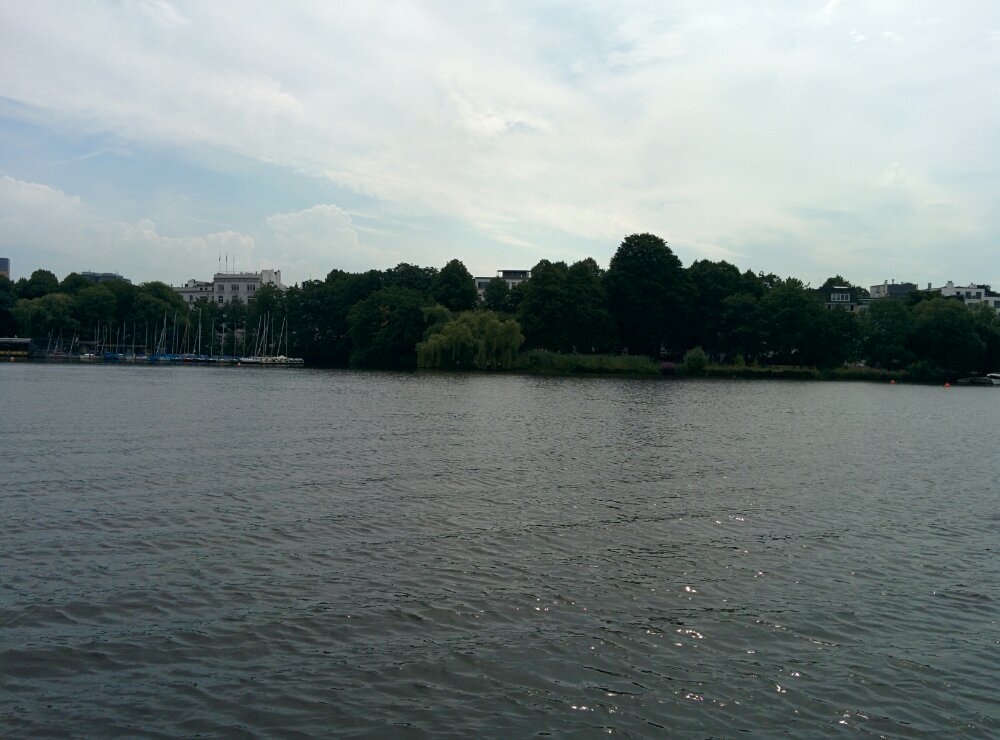
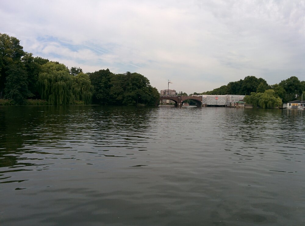
Nice to see the area from the water:

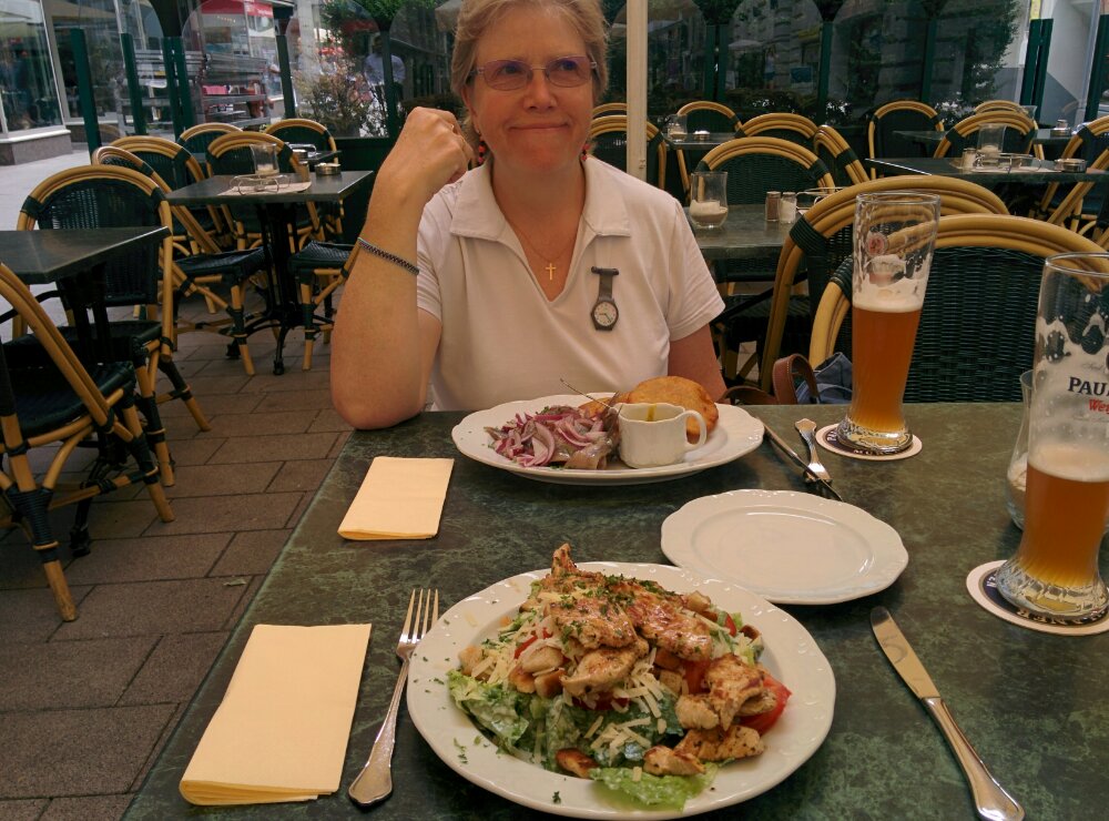
Then time for a beer, an explore around Hamburg and a nice late lunch:

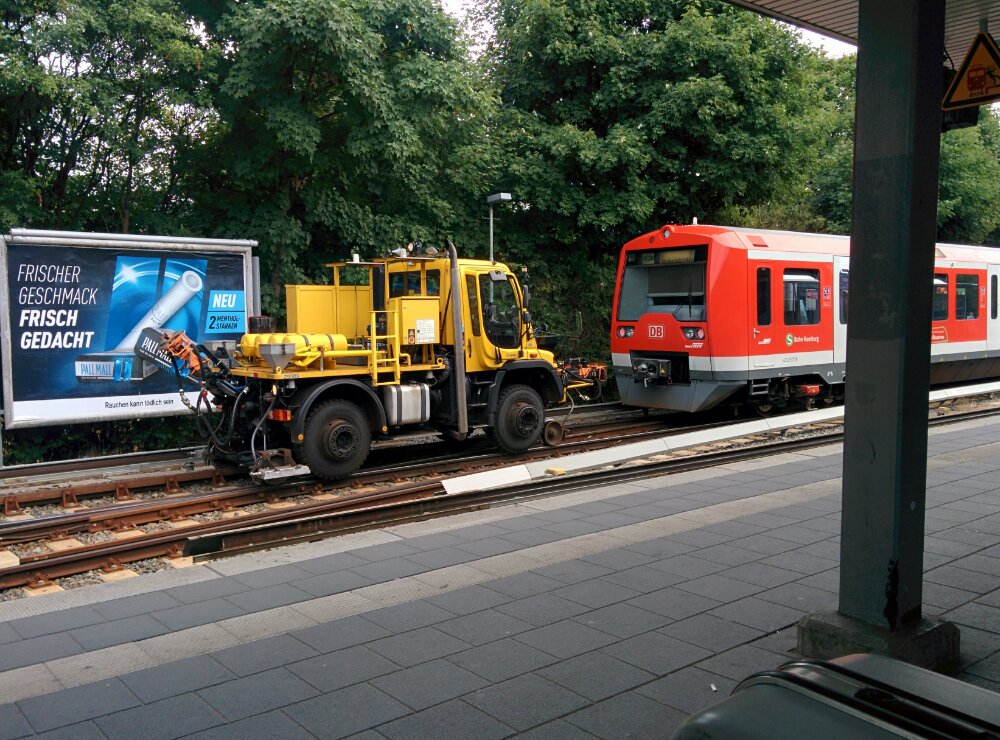
All too soon, it was back to the airport; on the way we saw a train being pulled by a ‘rail lorry’

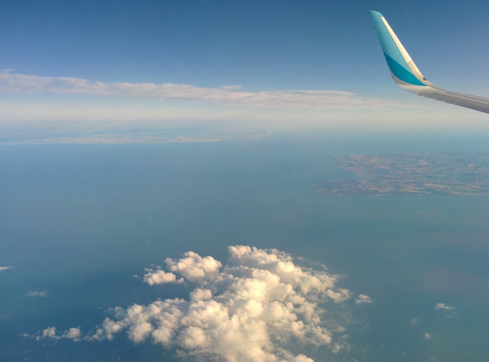
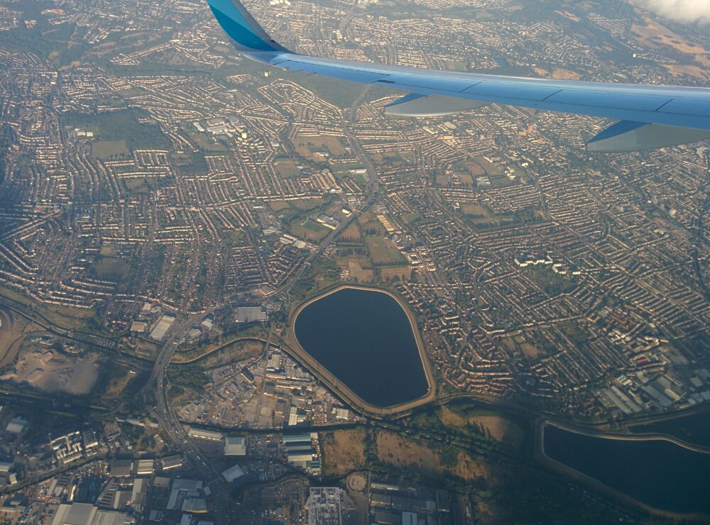
We finally managed to escape Hamburg two days late – a good flight with nice views of the Thames Estuary and London: