Tonbridge & River Medway

The forecast was for a very hot day, and our respective calendars were clear, so we took the train to Tonbridge.

Rocco is now getting quite used to trains:

Tonbridge really benefits from having the River Medway flowing through the town:

The ruins of Tonbridge Castle are in the background. First stop was a nearby pub, which had a nice courtyard at the back:

After many beers and a nice lunch, we set off for a walk along the river, which consists of many different channels and bridges to cross. It wasn’t long before Rocco had a swim, and luckily, managed to get out again (much of the river bank is quite steep):

Further on, we came across a (very) disused lock:

We headed back through Haysden Country Park and Barden Lake:

and after a bit of a trek through the back streets of Tonbridge, we returned to the station and our train home:

Another lovely day out!


Oxleas Wood

As we’re now ‘allowed’ to travel further for our exercise, we decided to walk around Oxleas Wood in the sunshine. This is actually a collection of woods and parks that interlink around the Shooters Hill area in South East London.

We started in Eltham Park South (the park is split in half by the main A2 Dover Road):

Rocco found a stick within seconds of getting out of the car:

We then crossed the A2 via a large overbridge and walked through Eltham Park North, which is mainly woodland. Rocco found a dirty pond of course:

We then walked through Oxleas Wood to Severndroog Castle:
Severndroog Castle was built in 1784 as a memorial to Sir William James, once the Director of the East India Company, by his wife Lady Anne James. It celebrates his most famous exploit, the capturing of the island fortress of Suvarnadurg. Severndroog Castle is 132 metres (432 feet) above sea level, gifting it with exceptional views of the London cityscape, the Thames River and the edges of London’s seven surrounding counties.

It was of course closed, so no “exceptional views” for us. Instead, we stopped for a break on the terrace, then headed back downhill a different way:

This had more meadows (you can see a small open cafe at the top of the hill):

And then back through Eltham Park:

A nice afternoon out!


More musings

Phil and I went for a walk on Monday for his birthday.  We went to Petts Wood, where everyone was being very sensible and keeping their distance.  The weather was lovely and the flowers were shining in the sun.  Rocco had fun splashing in the stream.  It was a welcome dose of normality.

I couldn’t get my shadow out of the way!

Capital Ring 15/Jubilee Greenway 5 – Cyprus to Woolwich

It was just about warm enough today for me to finish the Capital Ring Walk. This section is mostly shared with the Jubilee Greenway walk, so again, it was a joint effort.

We returned to Cyprus station (with a quick detour to see the end of the line at Beckton), and then we negotiated the walkways of University of East London to Royal Albert Dock:

The whole area is surprisingly quiet, at least until a plane takes off from the nearby London City Airport:

We then passed under the busy ‘Sir Steve Redgrave Bridge’ across the dock to the renovated ‘Galyons Bar and Kitchen’:

The grade II* listed Gallions Hotel was built between 1881 and 1883 for the Peninsular and Oriental Steam Navigation Company, to accom­modate travellers who were halting overnight. Rudyard Kipling stayed at the hotel when he was setting off for India, and the author mentions the place in his novel The Light that Failed (1890): “Is it Tilbury and a tender, or Gallions and the docks?”

We then negotiated various building works to get to the Gallions Reach area, which is a strange combination of building works, industry and high density housing.
Gallions Reach is named after the Galyons family who were prominent in the area in the 14th century. The word ‘reach’ here refers to an open stretch of water along a river, but originally used to denote the distance that could be sailed by a vessel on one tack.

Finally, we reached the River Thames in all its industrial glory:

The path now follows the river, but is interrupted by the large lock that give access to Royal Albert Dock:

Luckily the lock was not in use, so we could just walk across the gates.

A bit further on is the even larger lock for King George V Dock:
These gigantic gates at King George V Lock admitted the 36,644-ton Cunard liner RMS Mauretania in 1939. Measuring 790 feet long by 88 feet wide there was just a whisker to spare on all sides.

The path then follows through the Gallions Point Estate, where we stopped for lunch:

Then through Royal Victoria Gardens, complete with Steam Hammer:

Further on, the path (a public footpath no less) was blocked by fencing where they are modernising the (currently closed) Woolwich Ferry. There were no signs or diversions, so we snuck through the barriers, avoided the wet concrete and escaped back onto the road:

Nearby is the entrance to the Woolwich Foot Tunnel, which we used to cross the river:


The south entrance to the foot tunnel is where I started the Capital Ring walk nearly a year ago (see Capital Ring Walk 1):

It was then a short walk to Woolwich Arsenal station, then a couple of trains home. Our Jubilee Greenway walk continued (5 years later!) here.

4 miles of Capital Ring walking and 1 geocache today. Overall, I didn’t find the Capital Ring Walk quite as good as the London Loop Walk but it did take me to many areas of London that I wouldn’t otherwise have seen.

For more information on the Capital Ring, see https://tfl.gov.uk/modes/walking/capital-ring

Capital Ring 14 – Hackney Wick to Cyprus DLR

The forecast was for a lovely day (indeed it almost got too warm later), so it’s back to East London to continue with the Capital Ring Walk. This section is shared with the Jubilee Greenway walk, so it was a joint effort today.

We returned to Hackney Wick station, again via Stratford, and joined the River Lee Navigation by the Olympic Park:

Everywhere in this area seems to be a building site:

Shortly we reached Old Ford lock:

and a bridge covered with what we termed “3D Grafitti”:

We left the water for “The Greenway”:
The Greenway is on top of the Northern Outfall Sewage Embankment. It runs for nearly 6 miles (9.6 kilometres) from Hackney to Beckton where the sewage is treated before discharge into the River Thames. It forms part of London’s extensive sewage system put in place by Joseph Bazalgette in the 1860s and much of it is still in use today. The Capital Ring follows this elevated pathway for nearly 3 miles (4.8 kilometres) with great views of the Olympic Park.

And sure enough, the West Ham stadium and the Arcelor Mittal Tower comes into view:

and an interesting café; time for a break!

The Greenway should continue on from here, but building work forced us to divert off into the grim ‘real’ East End. It wouldn’t have been a problem if the diversion had been signposted, but we ended up retracing our steps a few times in order to get back on route:

Eventually we reached the busy Stratford High Street:

Shortly afterwards, we passed the Meridian, marked by a metal strip and a sundial set in the path:

Then Abbey Mills Pumping Station:
The Abbey Mills Pumping Station is a palatial structure also built by Bazalgette in 1868. As the new sewers operated by gravity, by the time sewage had reached the East End, it was over 13 metres underground. So, to get the waste back up to the surface, steam-powered pumping stations were built, like Abbey Mills, which was in use until 1996, when it was replaced by the shining silver building nearby. However, the old pumping station is still used during heavy storms and its historic pumps, now electric, are used around 30 days
a year. With its ornamental Gothic architecture, the old pumping station is used as a location for TV and film, featuring in episodes of ‘The Bill’, ‘Londons Burning’, ‘Hogfather’ and ‘Batman Begins’.

Nearby was an old pump, colourfully repainted:

Much effort seems to have been put into “artistic” structures along The Greenway, less effort into information boards and seats:

Eventually, we left The Greenway for the real world, including crossing the very busy A13:

The character of the walk then changed as we followed paths through various Beckton parks:

and shortly afterwards, we reached Cyprus DLR station and the train home.
Cyprus station is named after the nearby Victorian estate of Cyprus, itself named after the British colonisation of that Mediterranean island. This is the station for the
University of East London (UEL).

6 miles of Capital Ring walking (including a short part of Section 15) today.

For more information on the Capital Ring, see https://tfl.gov.uk/modes/walking/capital-ring

Jubilee Greenway 3 & 4 – Camden to Hackney Wick

Another sunny day, so we took the opportunity to do the next section of this walk.

We returned to Camden Town station and headed towards the busy Camden Lock market – too many tourists!

It was quieter by the canal though; this is Hampstead Road Lock:

Unfortunately, the towpath onward was closed due to building work, but circumnavigating the streets to rejoin the canal, we found this lovely green wall:

Then finally, we were back on our route along the canal:

Next stop was St Pancras Basin, with some interesting re-purposing of the old gas holders:

We watched a Eurostar come into St Pancras; very much the old and the new together:

St Pancras Lock is pretty:

Further on, we reached the Islington Tunnel, and had to divert over it. This was a much nicer diversion than with the earlier Maida Hill Tunnel, leading through a quiet housing estate and the busy (but not touristy) Chapel Market:

After some lunch, we rejoined the canal at the east end of the tunnel:

and followed the ever changing canal onwards through the Shoreditch area:

We should have turned off into Victoria Park, but instead followed the Hertford Union Canal for a bit before getting to the park:

Section 4

Victoria Park is enormous, and very well kept:
Victoria Park covers 218 acres and was originally laid out by Sir James Pennethorne between 1842 and 1846; he had been a pupil of the architect, John Nash, and was himself Architect to the Commissioners of Woods and Forests. Victoria Park’s design was much inspired by Nash’s work at Regent’s Park.

After a nice cup of tea in the park cafe, we braved the footbridge over the A12 and the rough end of Hackney to reach Hackney Wick station and the train(s) home:

7.1 miles of Jubilee Greenway walking and 1 Geocache today.

For more information on the Jubilee Greenway, see https://tfl.gov.uk/modes/walking/jubilee-greenway


Capital Ring 12 & 13 – Highgate to Hackney Wick

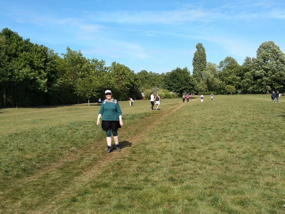
After the summer heat, it’s now a bit cooler, so time to continue my Capital Ring Walk.

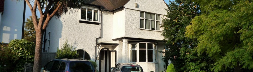
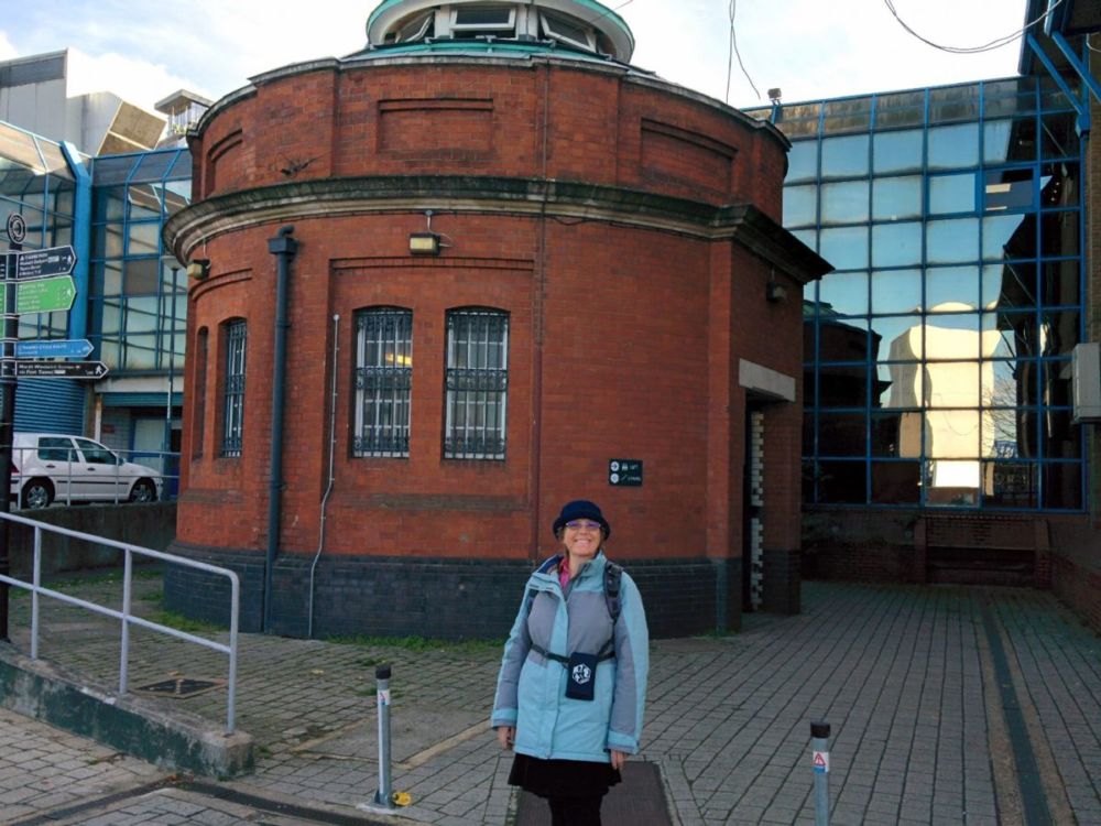
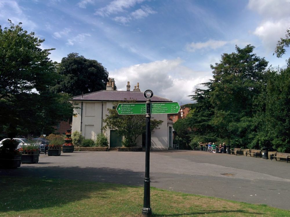
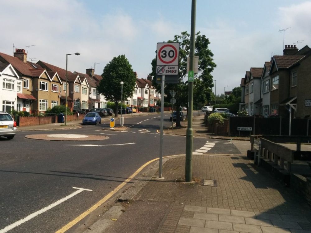
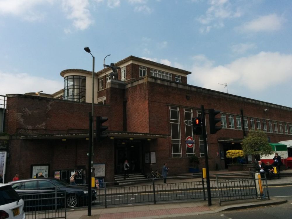
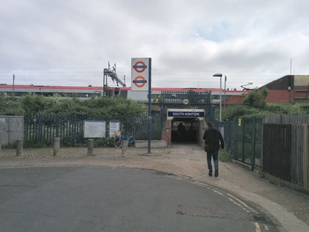
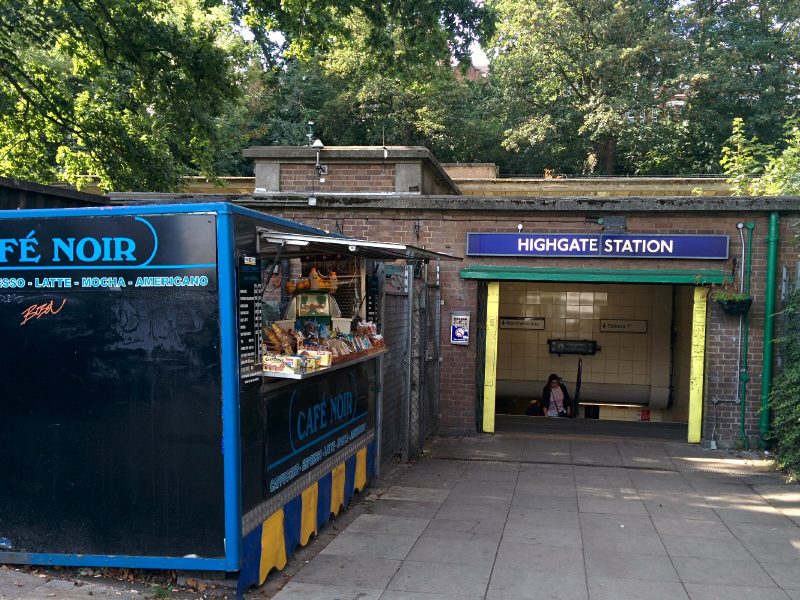
It was a reasonable journey to Highgate Tube Station:

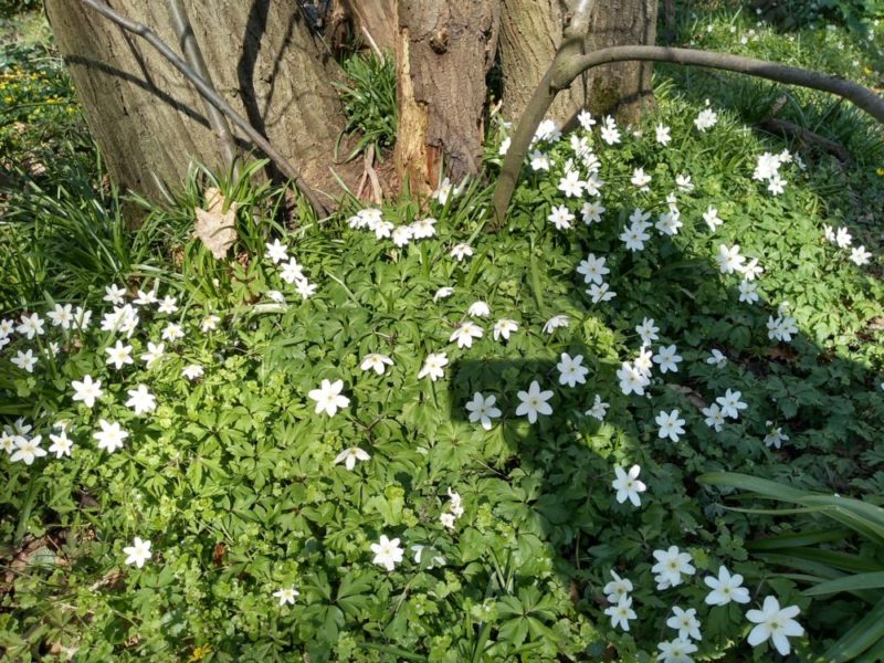
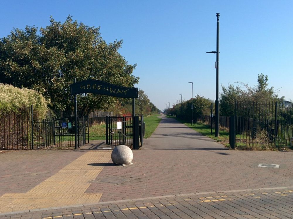
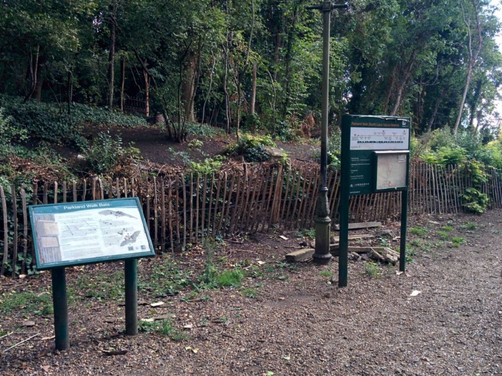
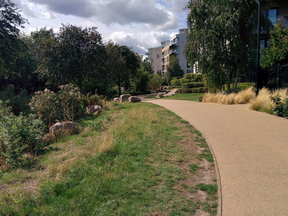
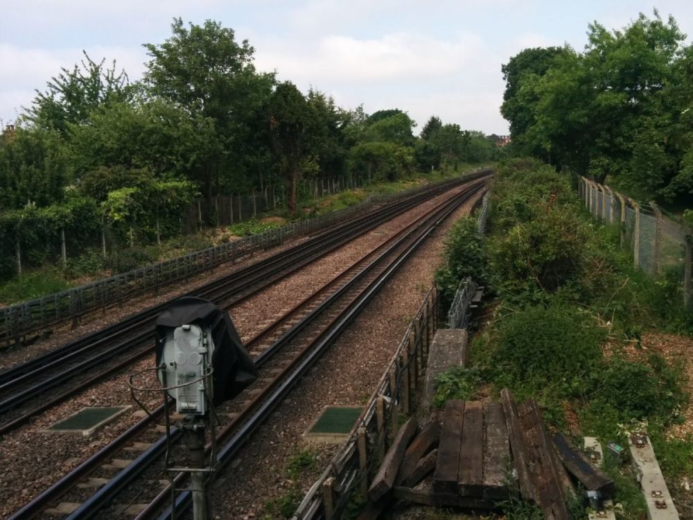
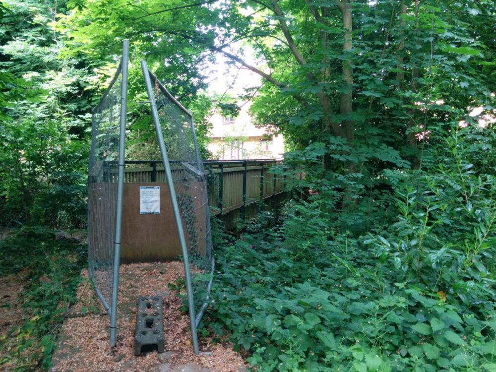
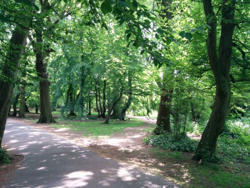
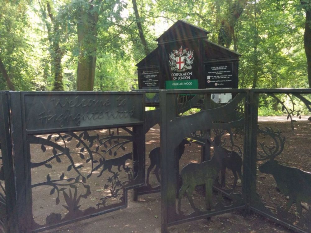
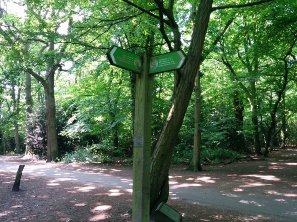
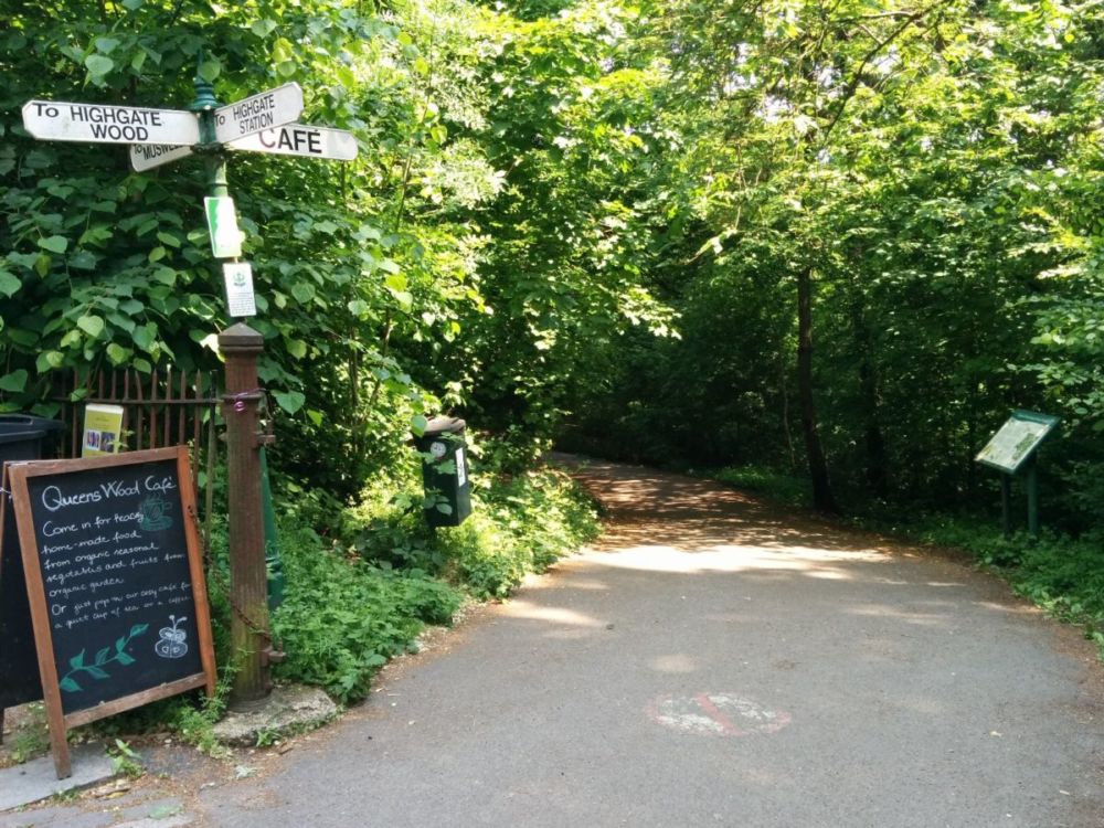
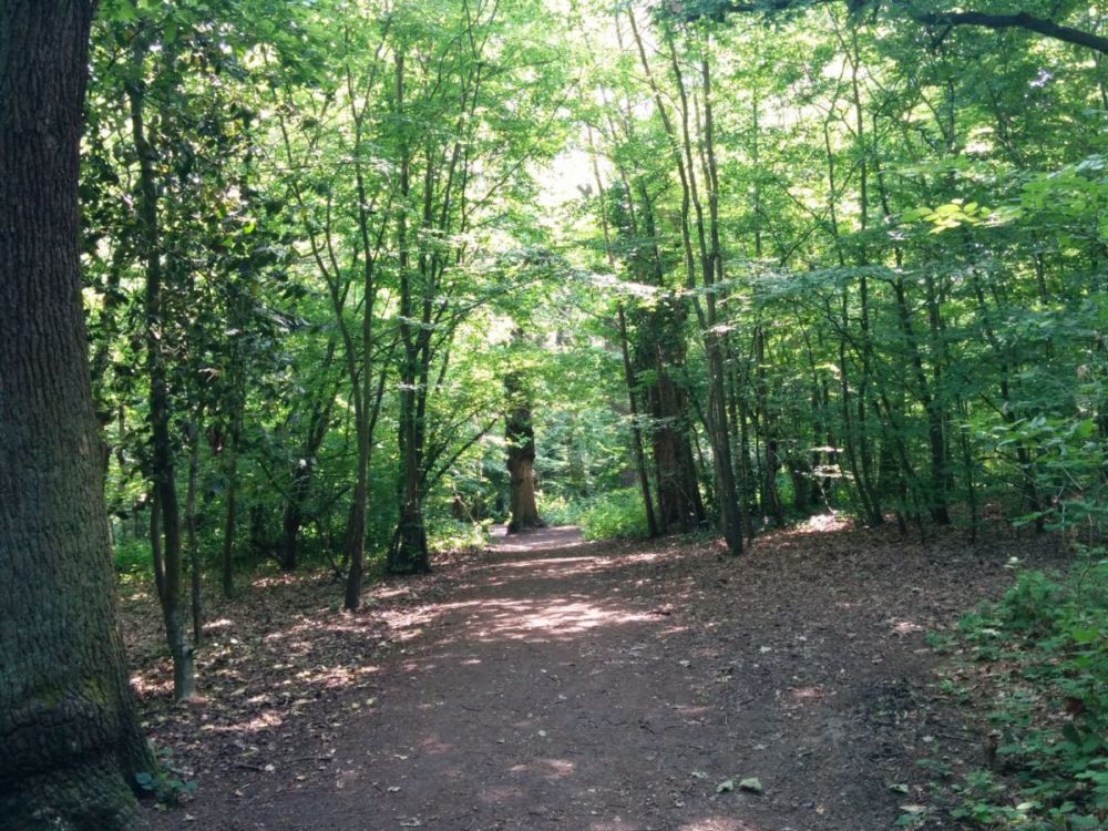
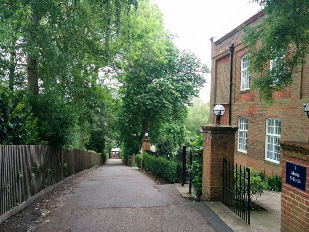
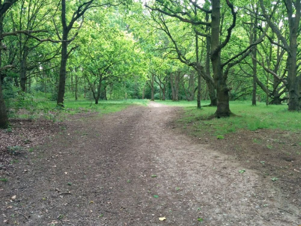
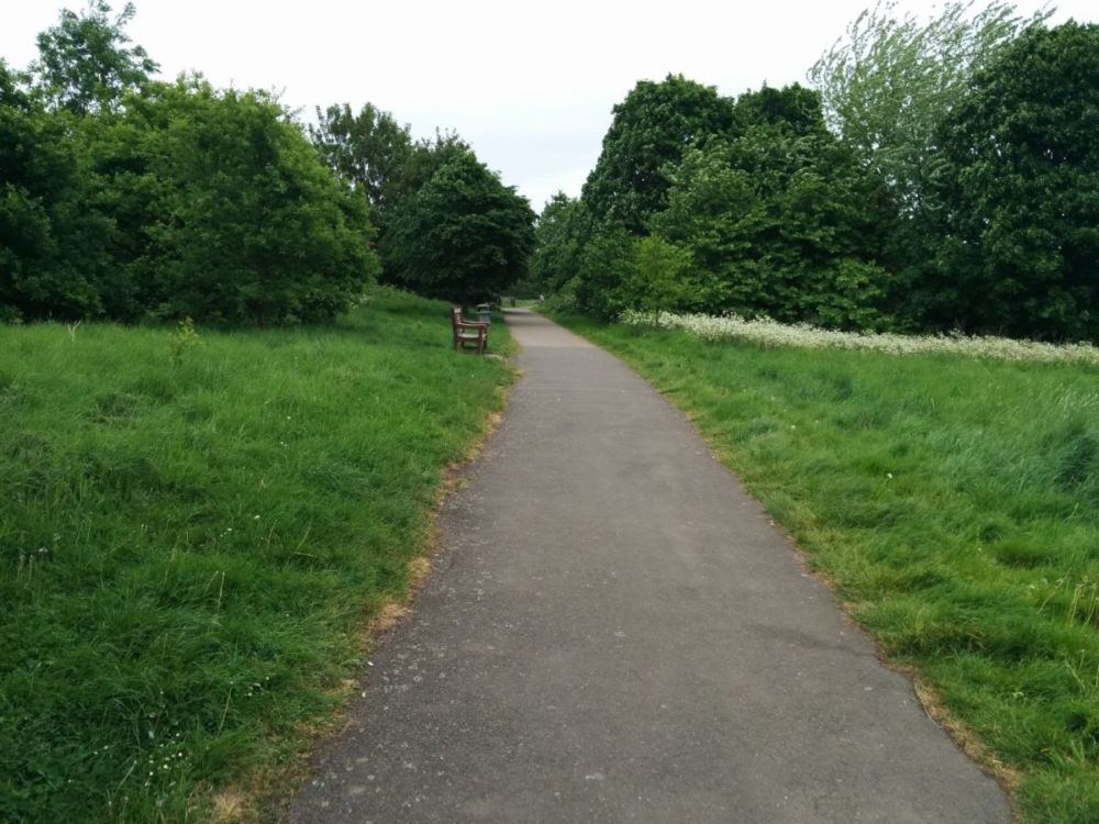
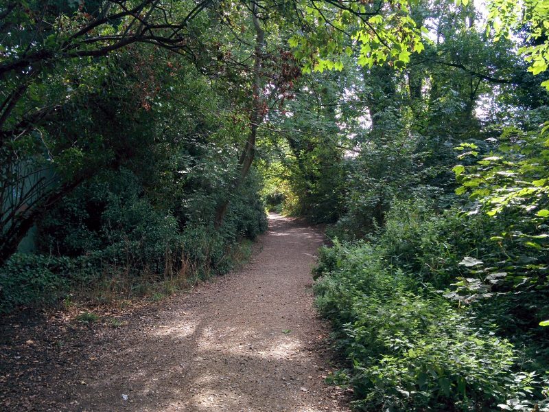
and a short walk through suburbia to the “Parkland Walk”, a quiet nature reserve created from a disused railway line:
The railway line, now occupied by the Parkland Walk, was opened by the Great Northern Railway in 1867. In the 1930s, as part of the ambitious New Works Programme, London Underground planned to electrify it and take it over as part of the Northern line. Much work was done, including the new platform buildings at Highgate station. The work was abandoned at the outbreak of the Second World War and the line was closed to passengers in 1954. It remained in use occasionally for freight until 1970 after which the tracks were lifted. It is now a haven for wildlife with about 250 species of plants and the shy muntjac deer living here.


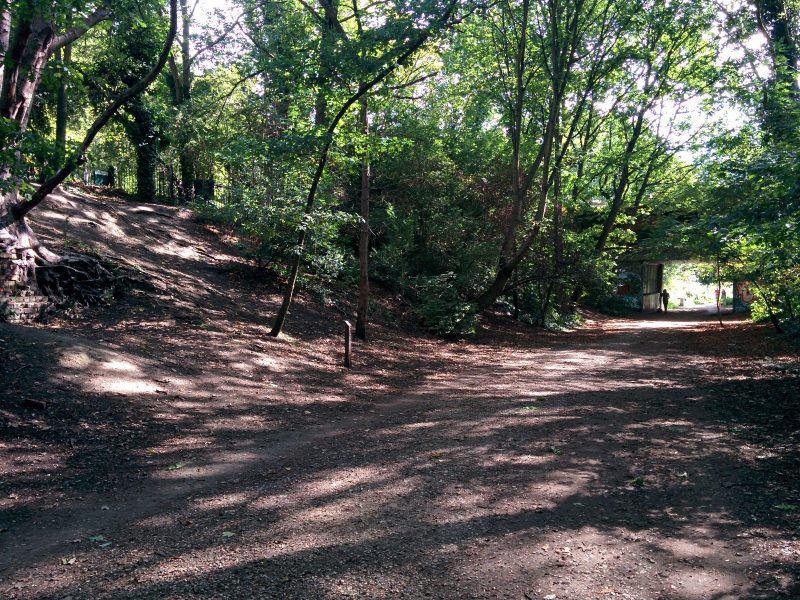
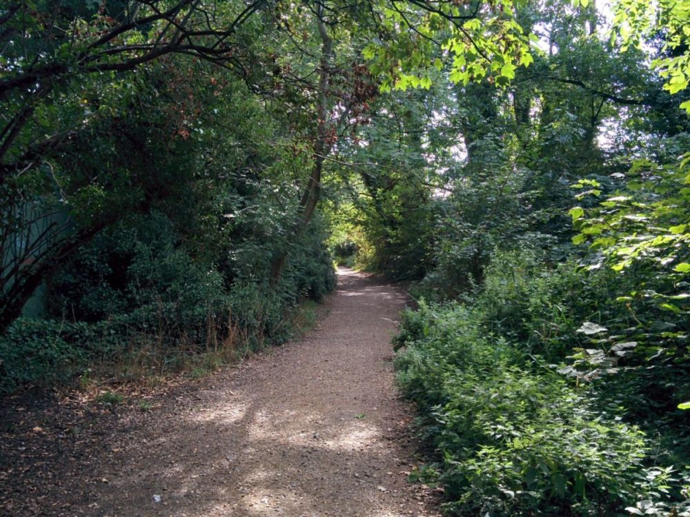
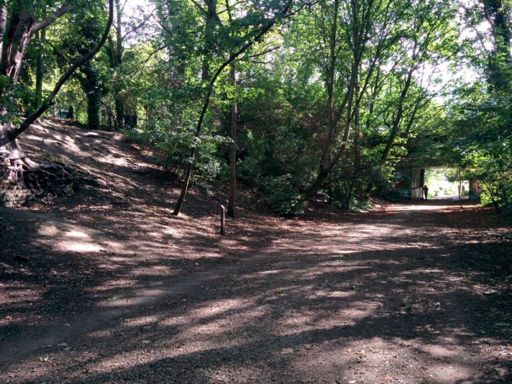
including a disused platform:

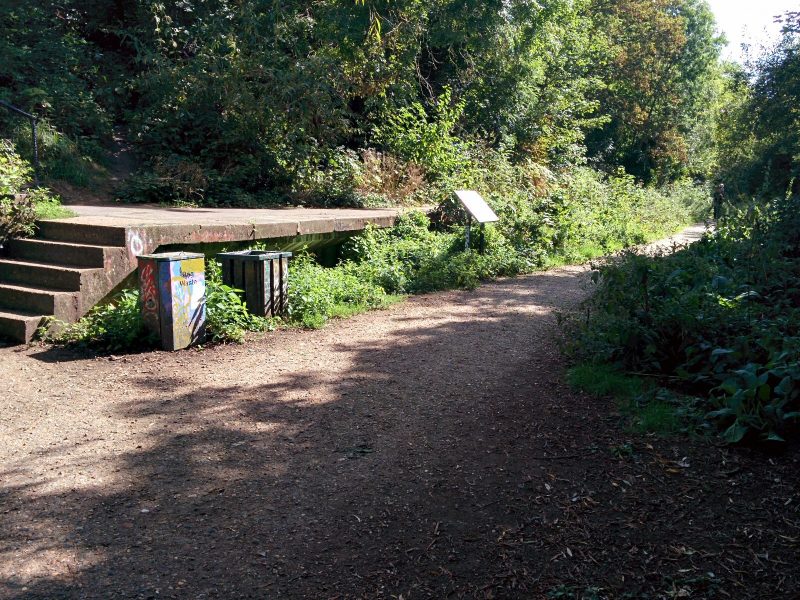
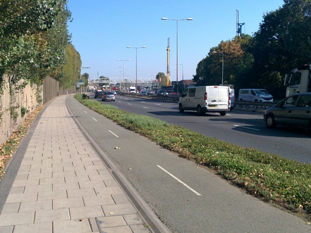
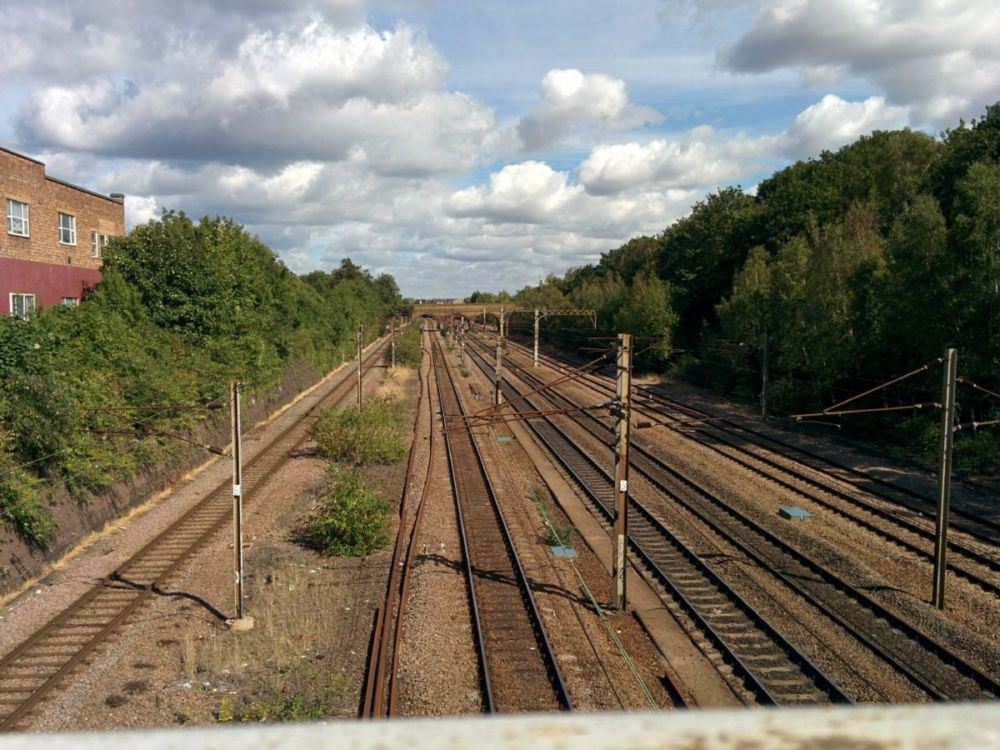
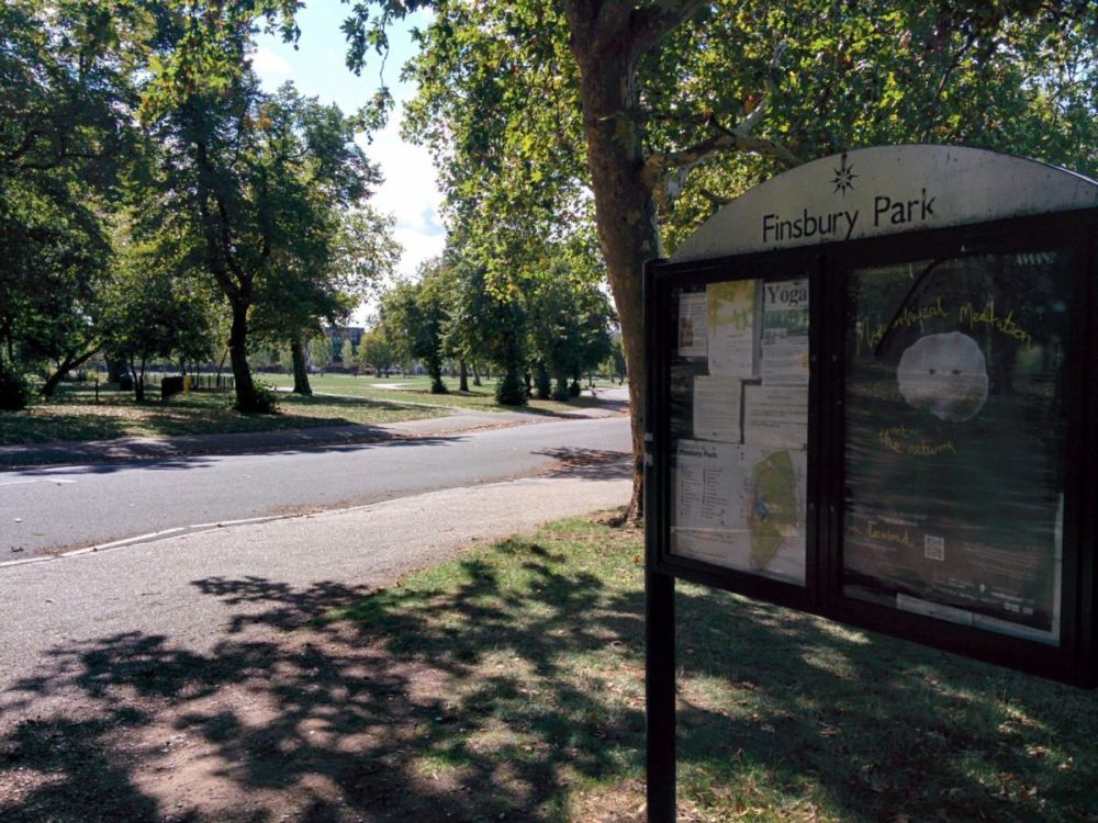
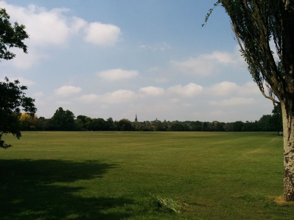
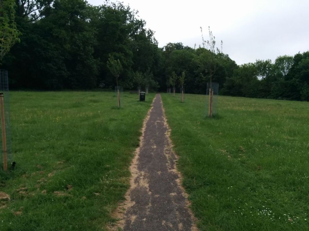
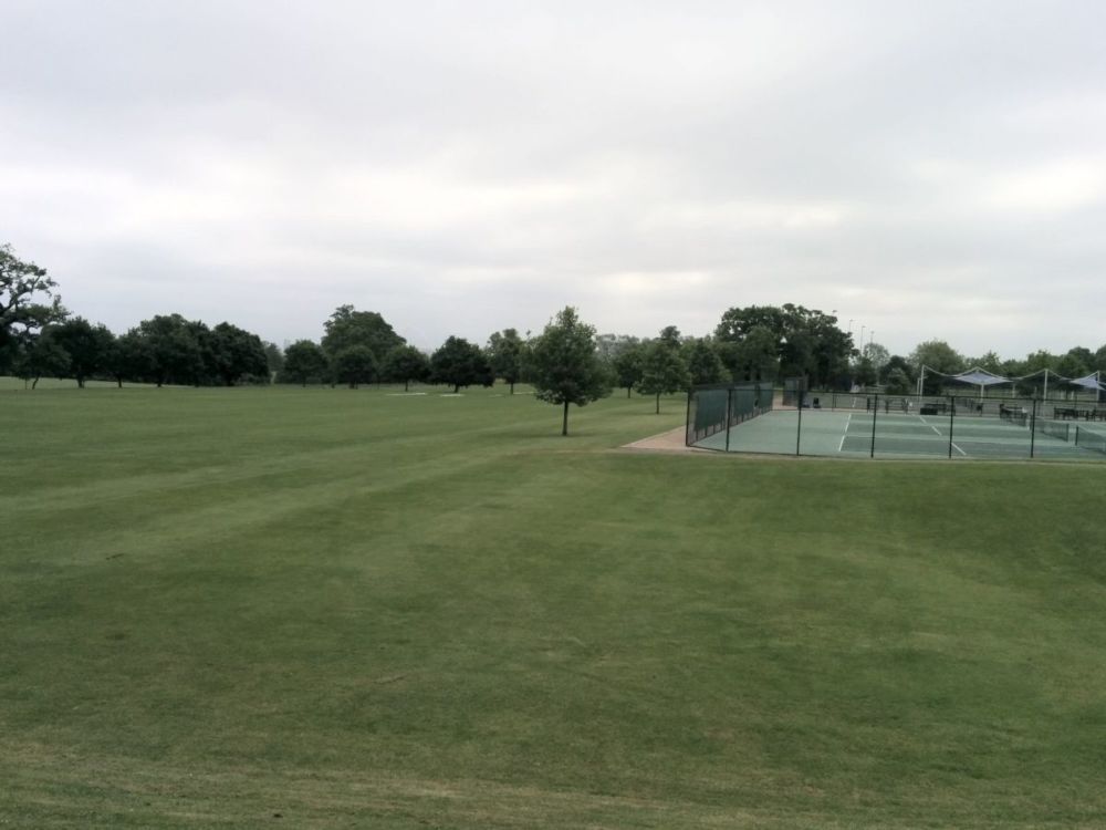
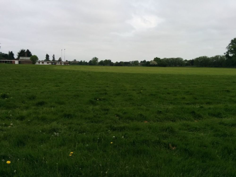
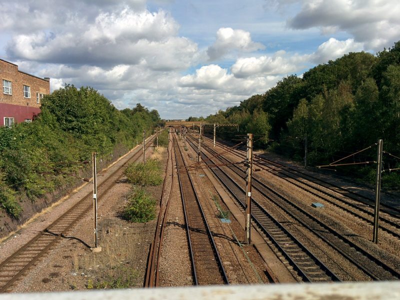
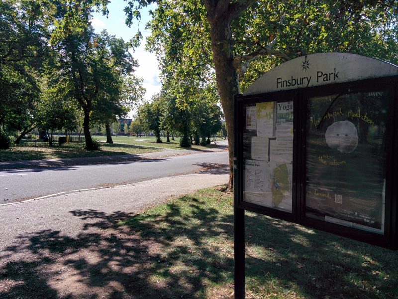
The route then crossed the East Coast Main Line and into Finsbury Park:


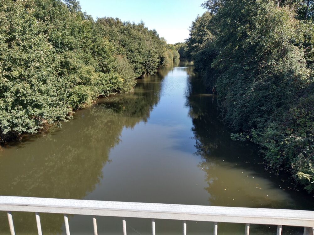
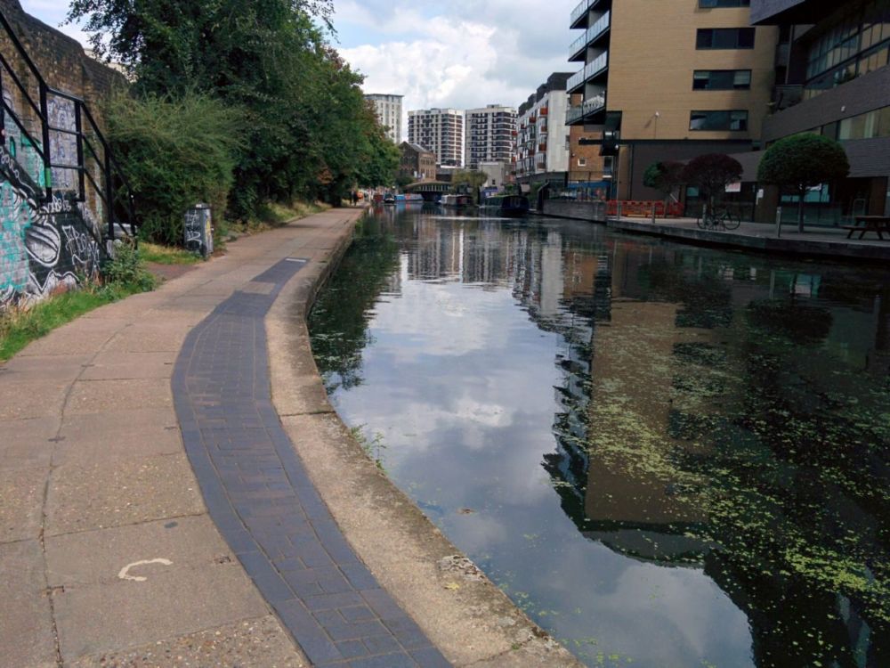
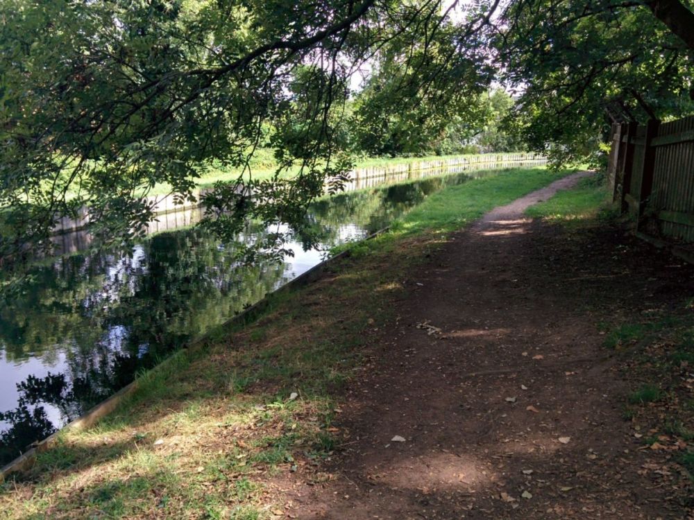
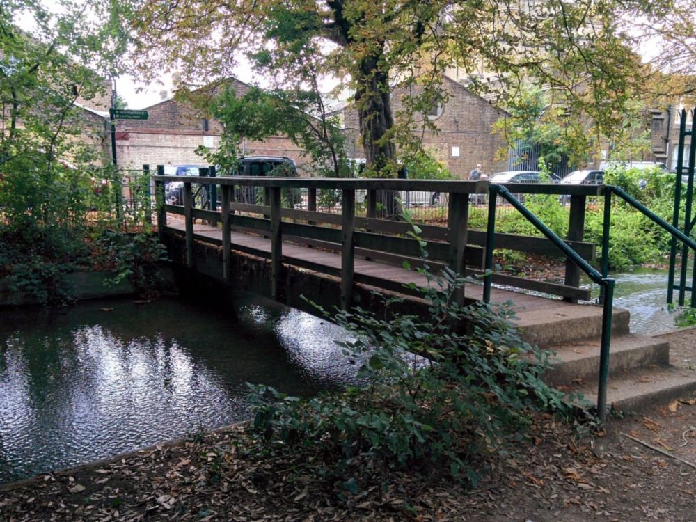
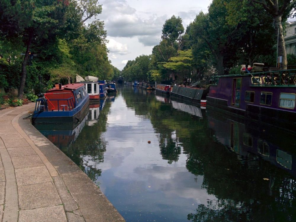
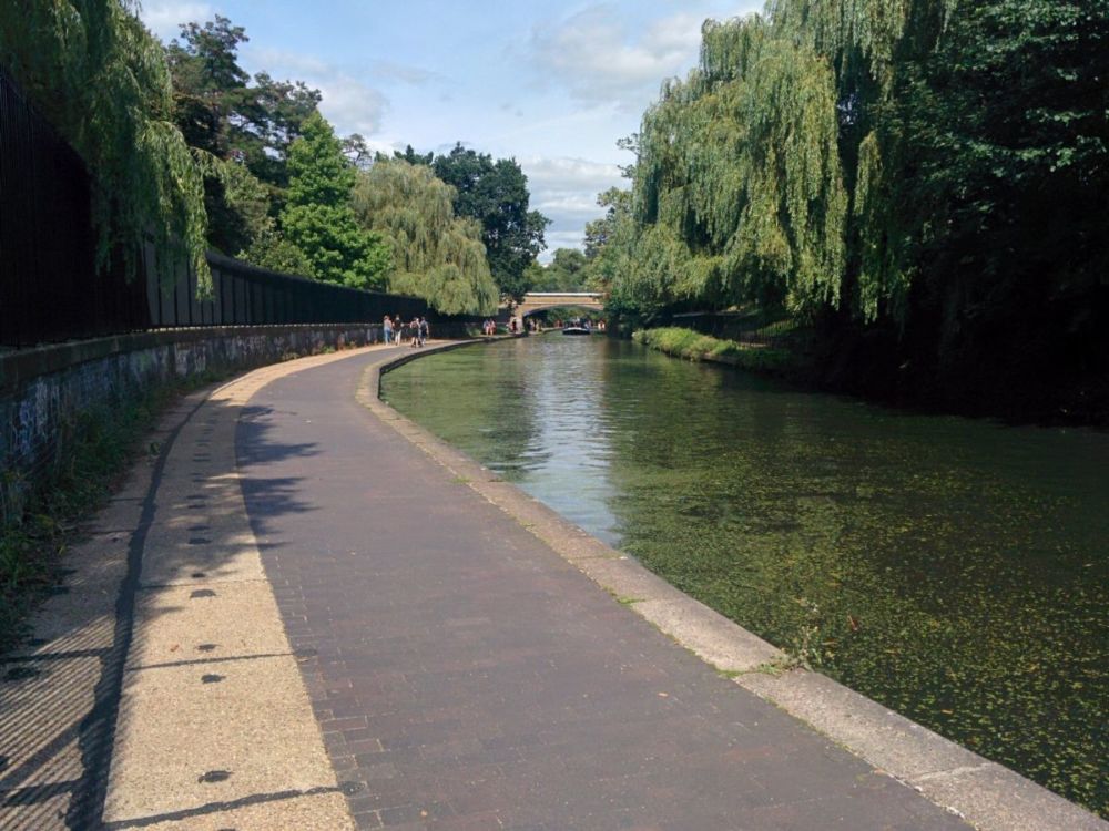
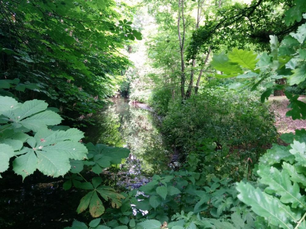
After crossing a busy road, the path then follows the “New River”:
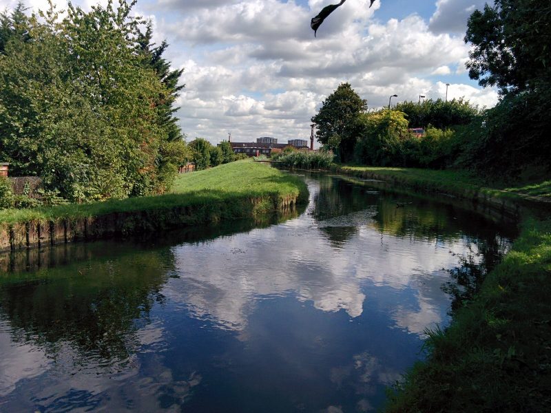
The New River is spectacularly misnamed, as it is neither new nor a river – it’s nearly four hundred years old and an ingenious artificial watercourse. Built at a time when fresh water for London was in very short supply, it brought water 40 miles from springs in Hertfordshire to Islington. Following a very twisting route, the gradient dropped very gradually so that gravity pulled the water along; the canal dropped two inches every mile. There was considerable opposition from local landowners and it cost a fortune, but the entrepreneur and goldsmith, Sir Hugh Myddelton, pushed it through with support from King James. Today the ‘river’ still supplies water to the capital. You can follow the river on foot for most of the way from Hertford to Islington.

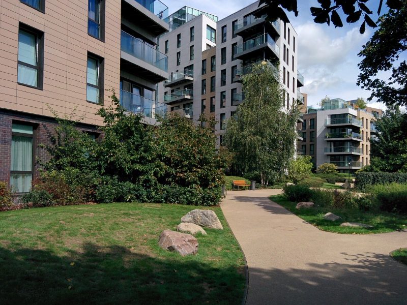
The path then passes through the Woodberry Down Estate. “With some 50 blocks this forms the largest council housing estate in Britain.

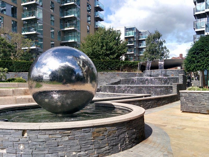
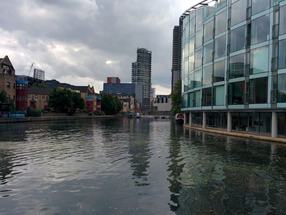
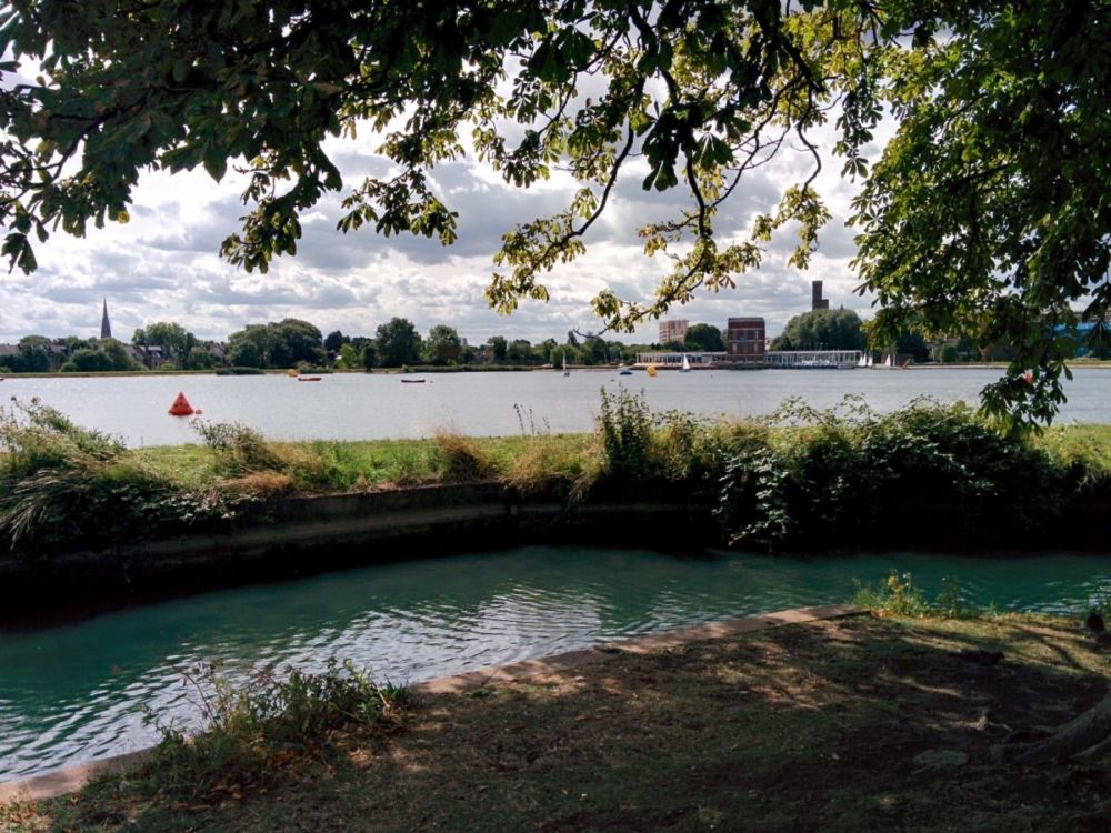
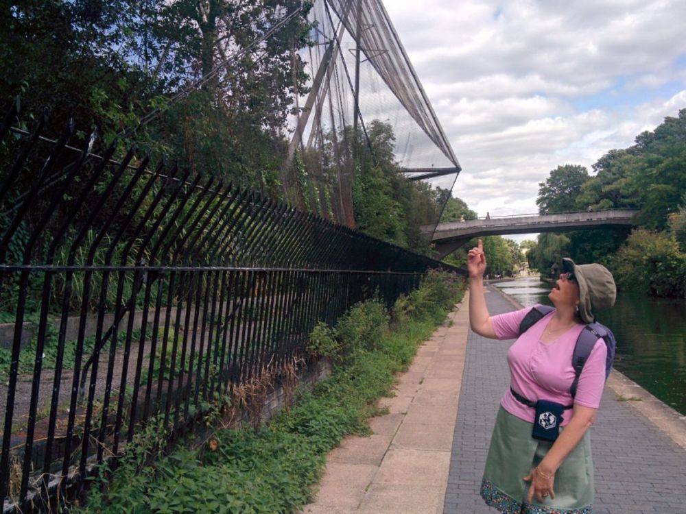
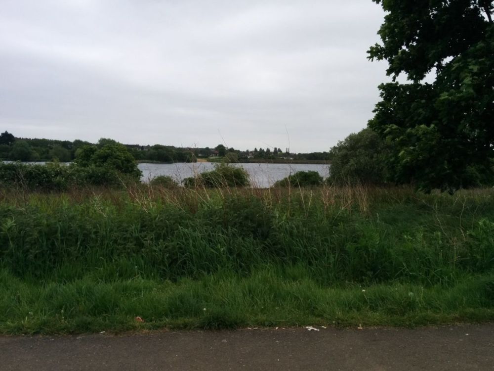
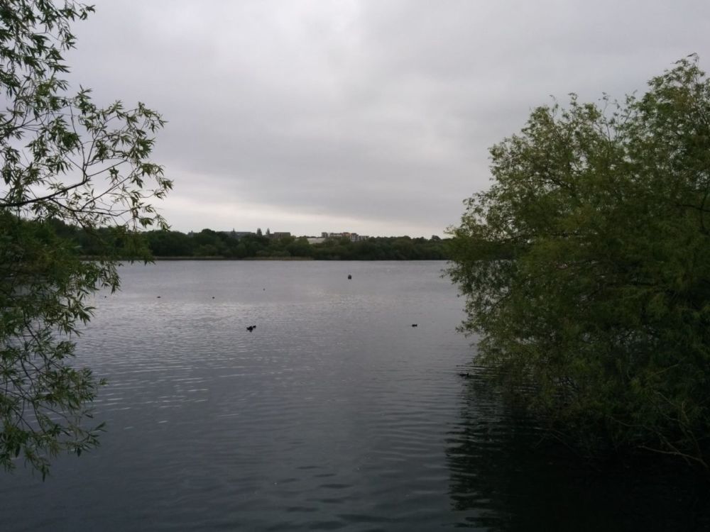
and follows past the imaginatively named East Reservoir and West Reservoir:

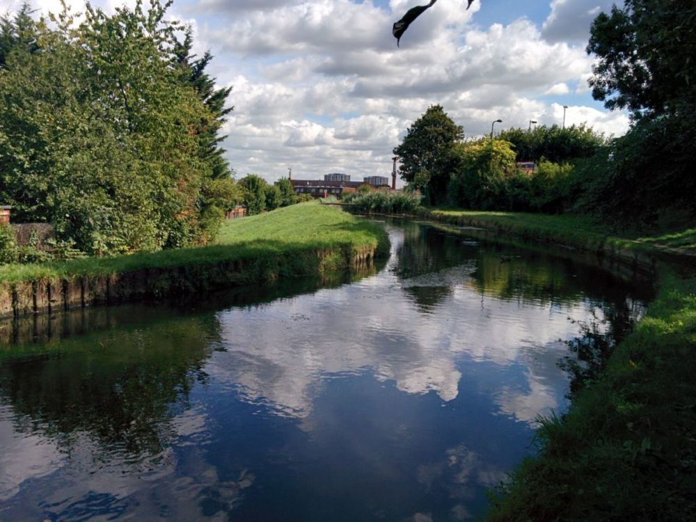
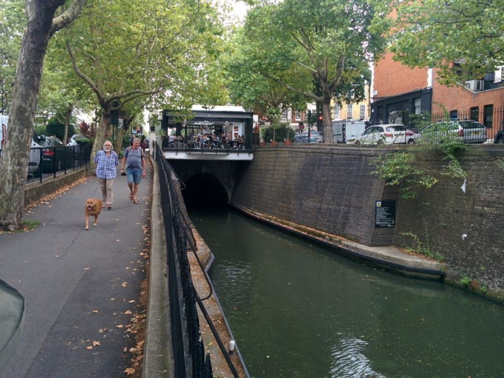
All too soon, the route crosses the New River and into the streets of Finsbury Park:

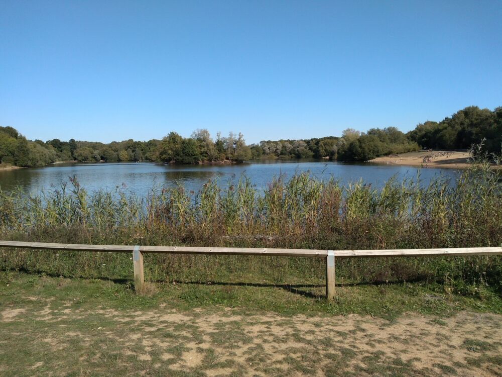
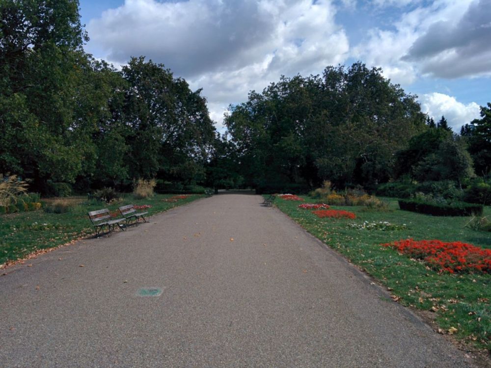
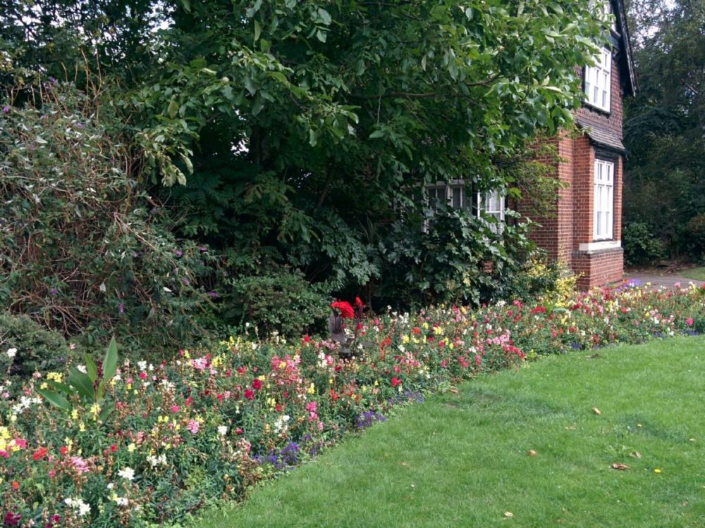
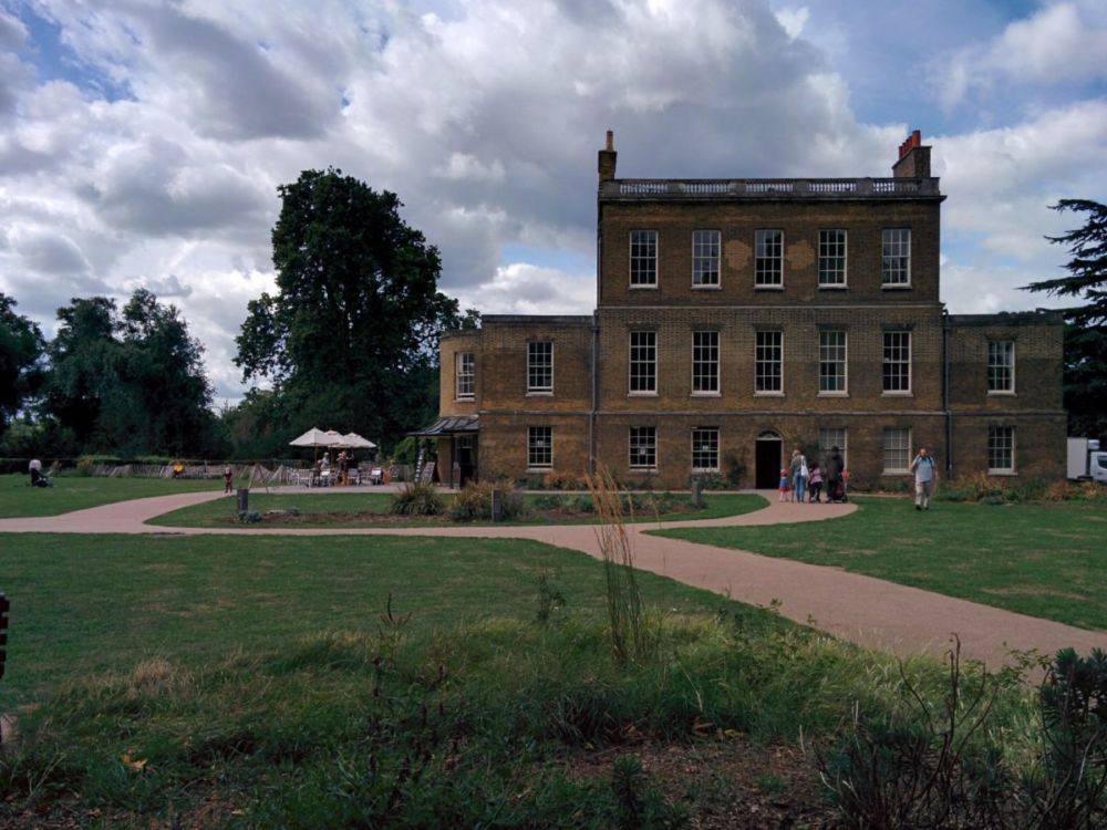
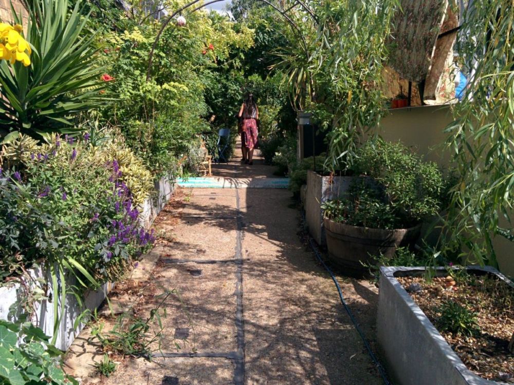
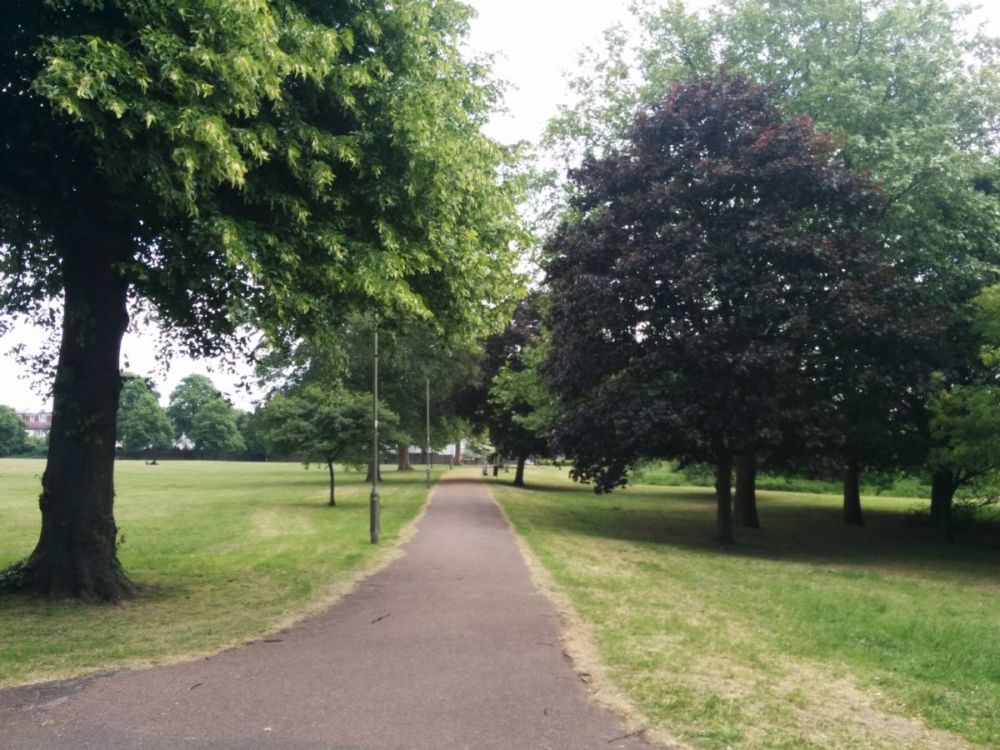
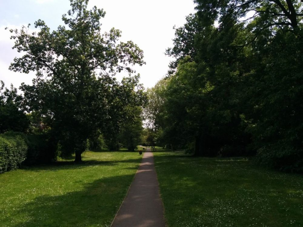
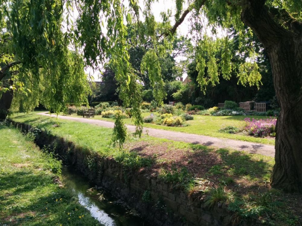
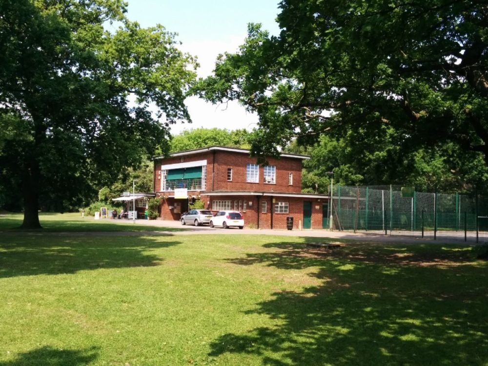
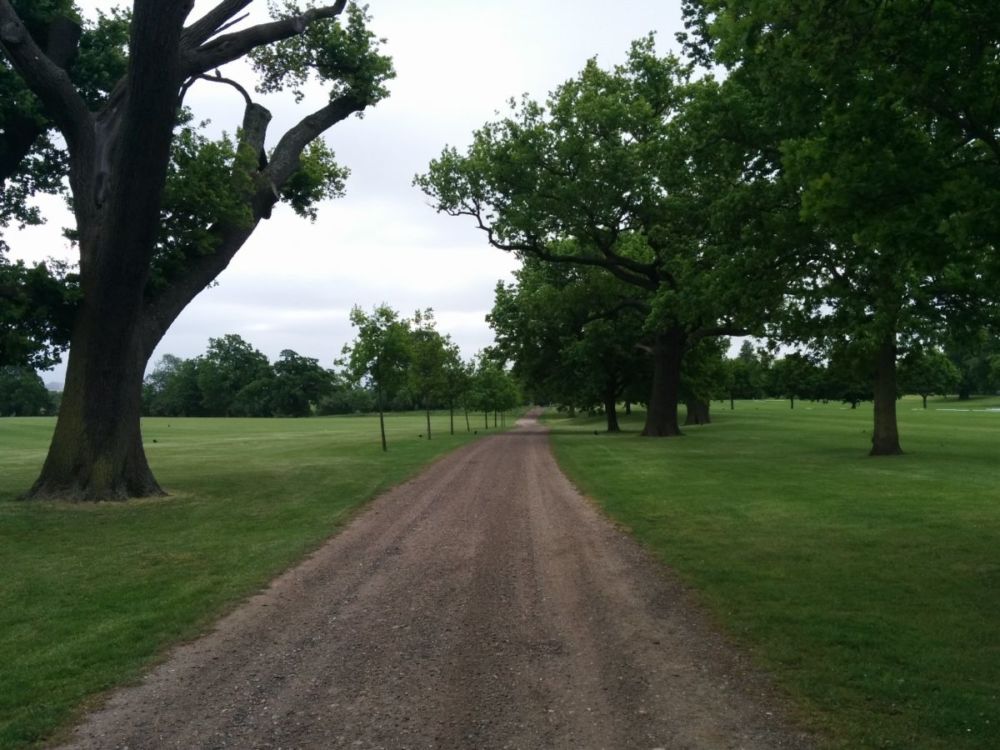
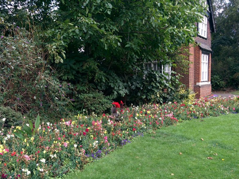
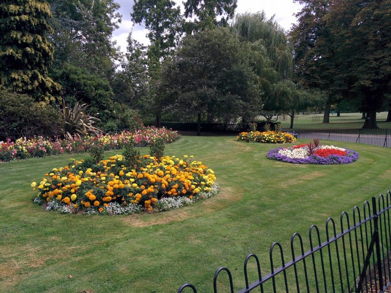
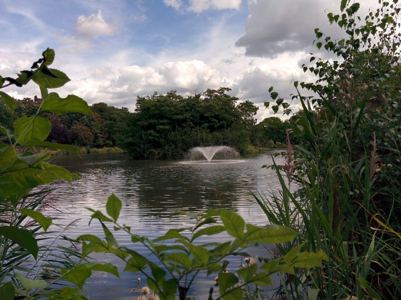
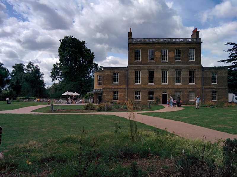
Next is Clissold Park, with some attractive planting, lake and cafe:


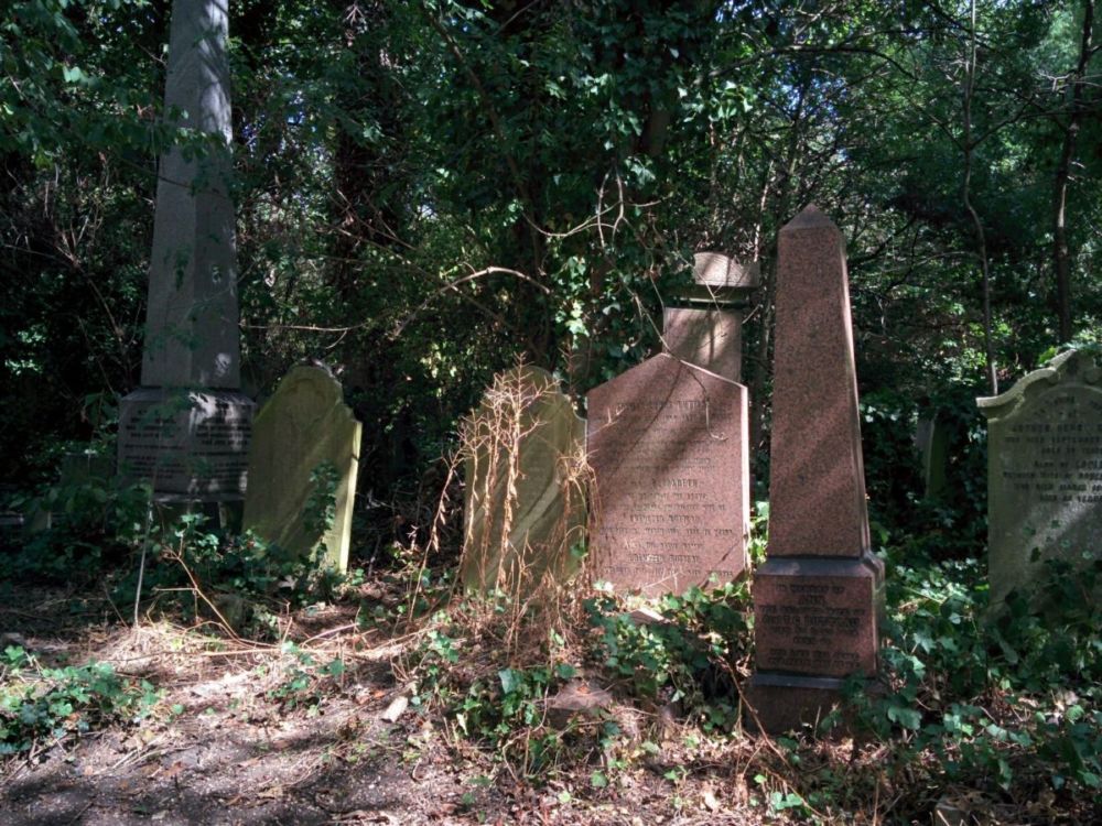
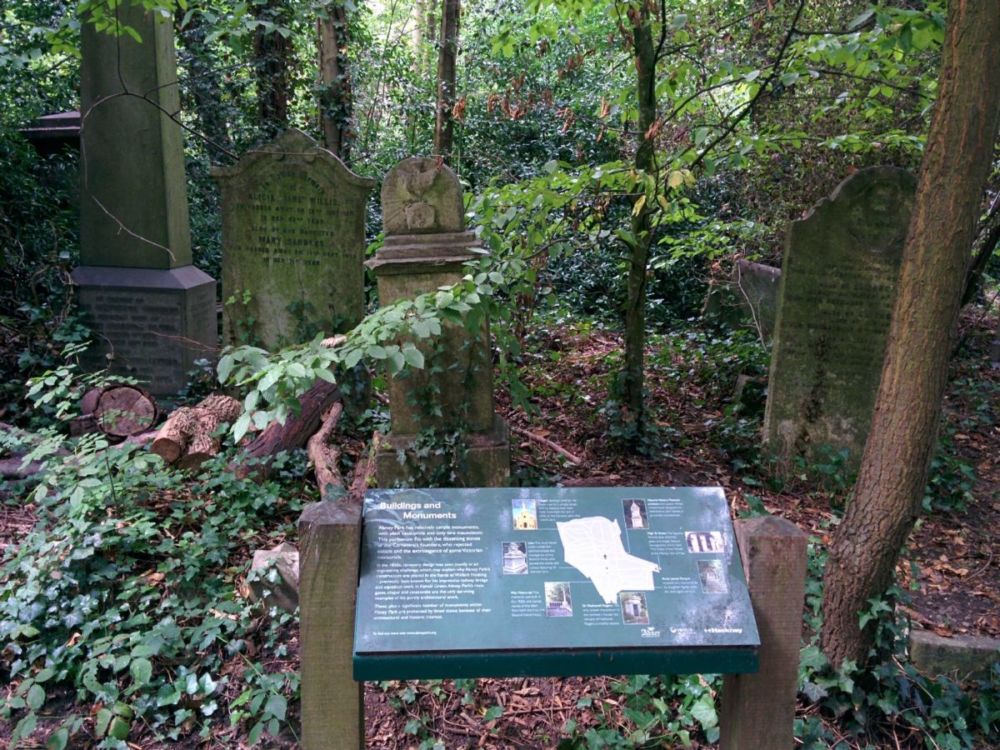
Finally for this section, the route goes through Abney Park Cemetery:
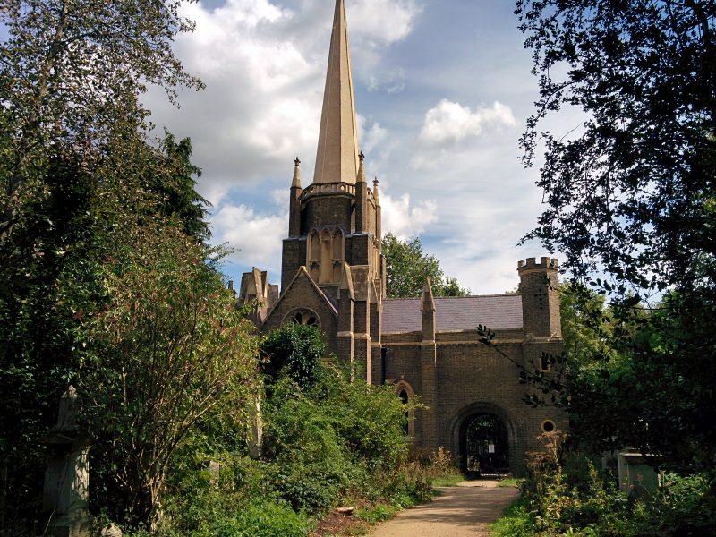
Abney Park Cemetery was the first European Garden cemetery – that is, with reception buildings, chapel and landscaping – to take a non-denominational approach with no separation between the graves of different religions; consequently there was no consecration of any part, except where individuals chose it for their plot.
It’s now a very evocative site and nature reserve where over 300,000 graves have been laid since it opened in 1840; many notable people are buried here.”

Section 13

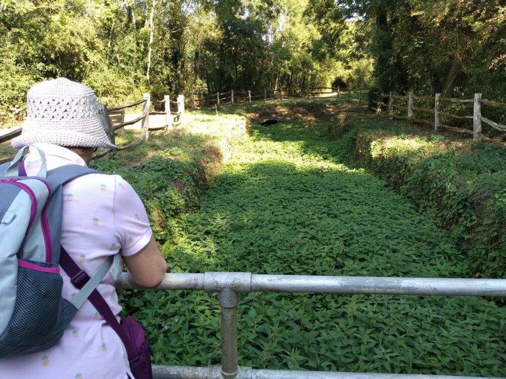
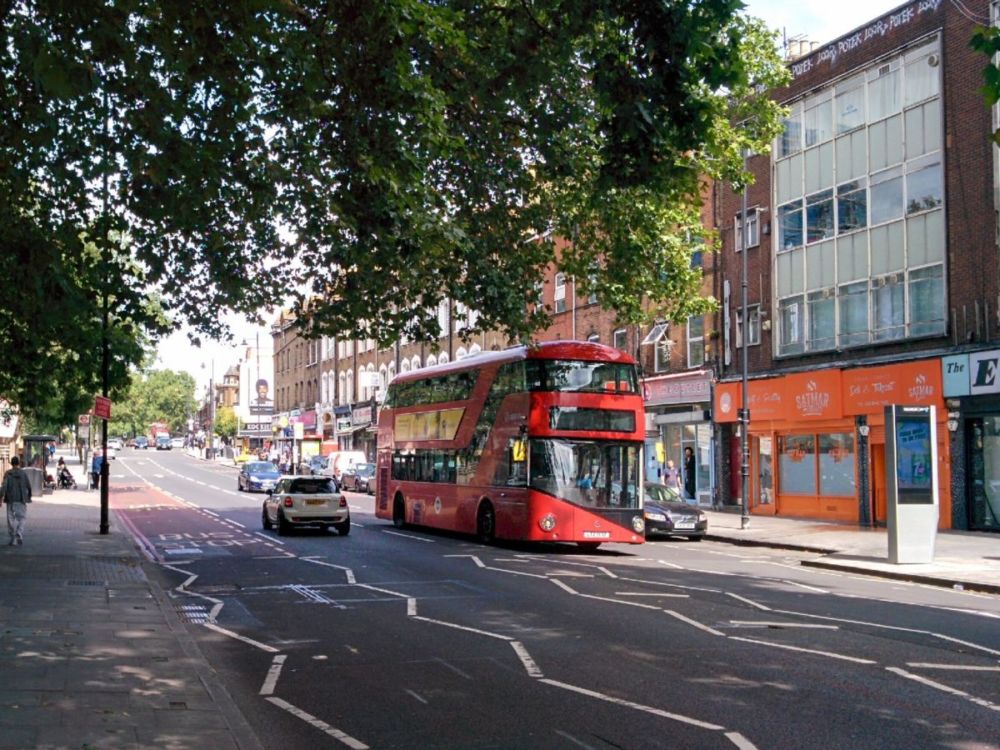
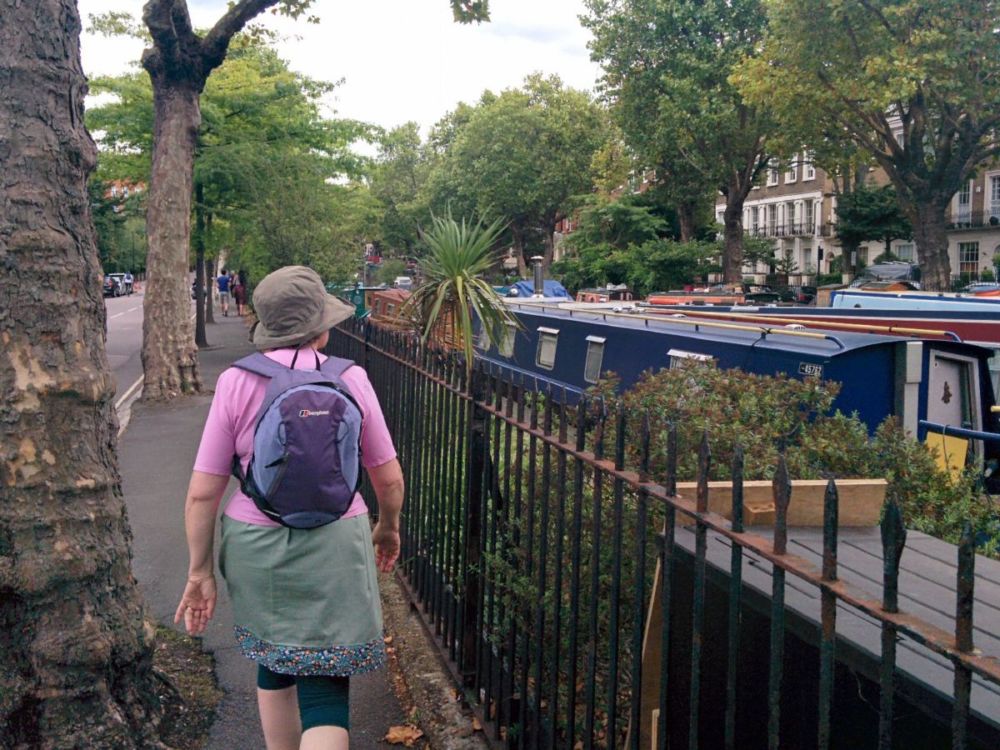
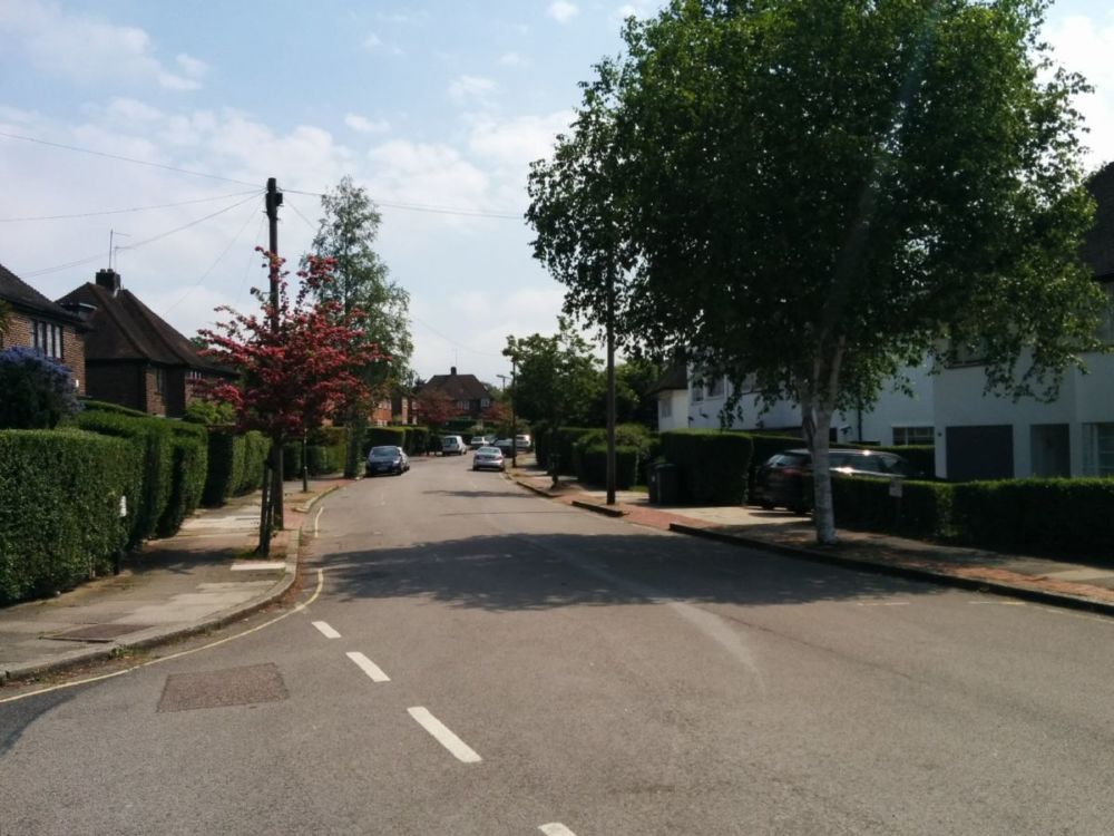
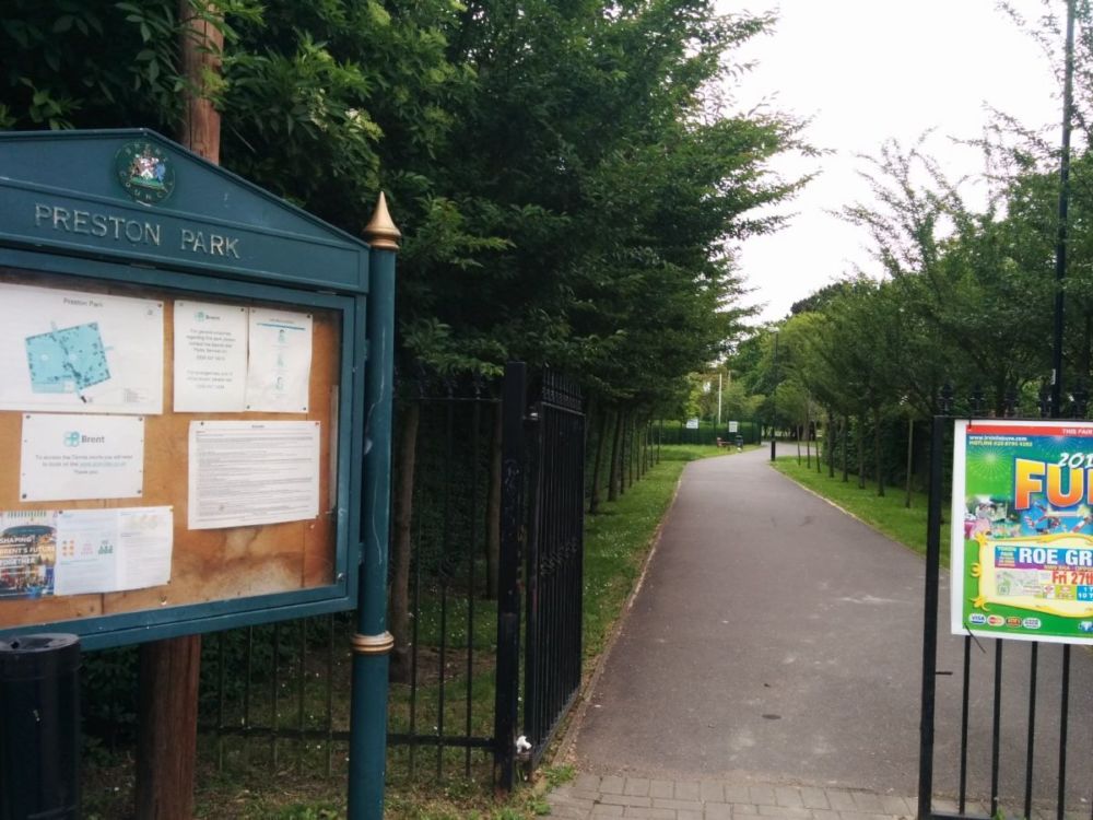
This starts with more road walking through Stoke Newington:

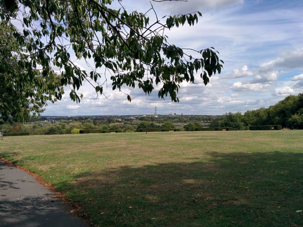
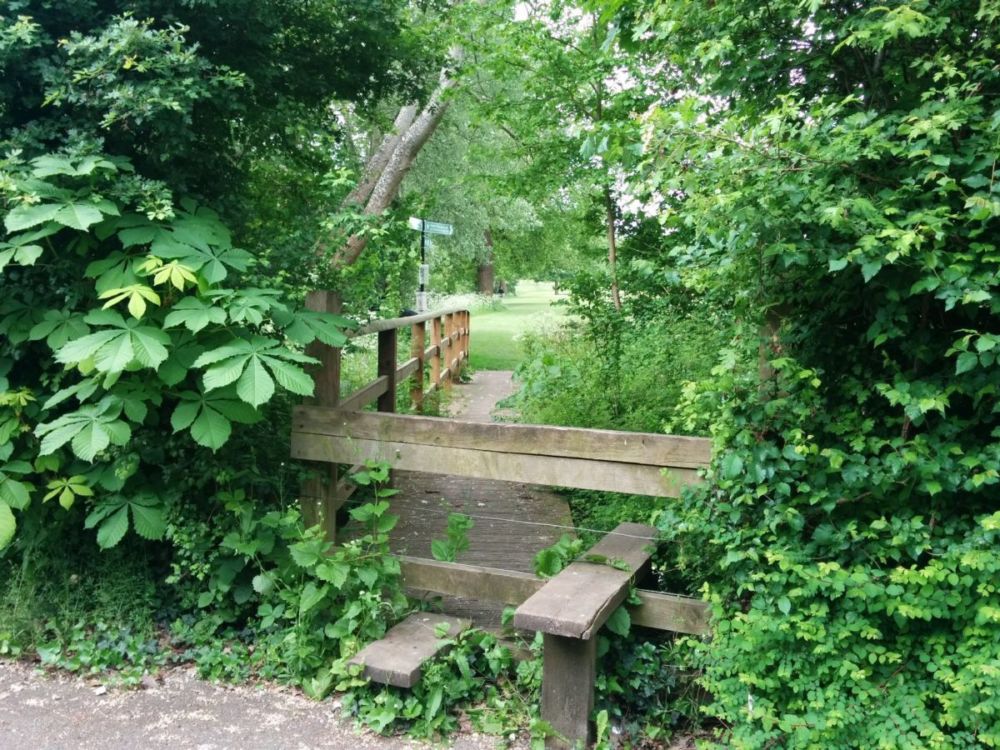
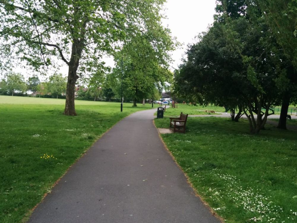
Then into Springfield Park:

with views down into the Lea Valley:

Springfield Park, opened to the public in 1905, has been designated as London’s first Regionally Important Geological Site – RIGS – and is on the English Register of Parks and Gardens of Historic Interest. The Park’s landforms tell a fascinating story about the geological history of the Lea Valley. The name comes from the series of springs that arise in the area from the combination of sand, gravel and London clay.

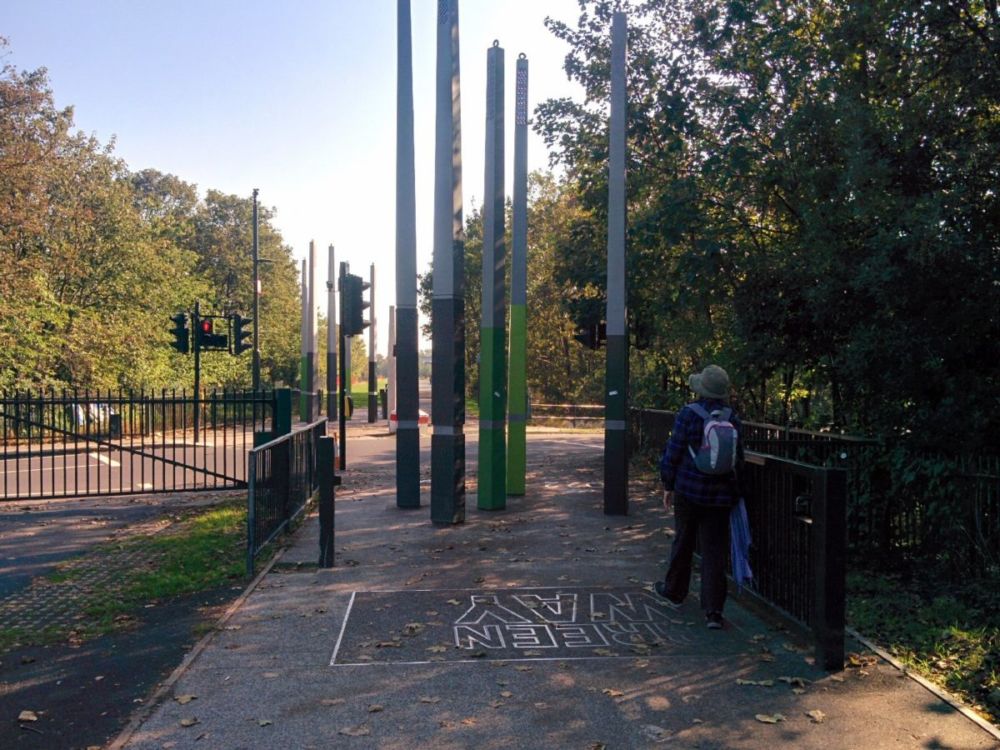
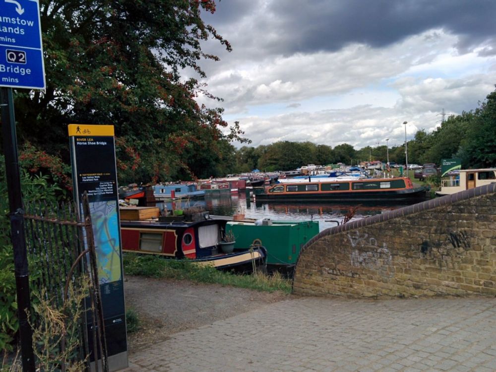
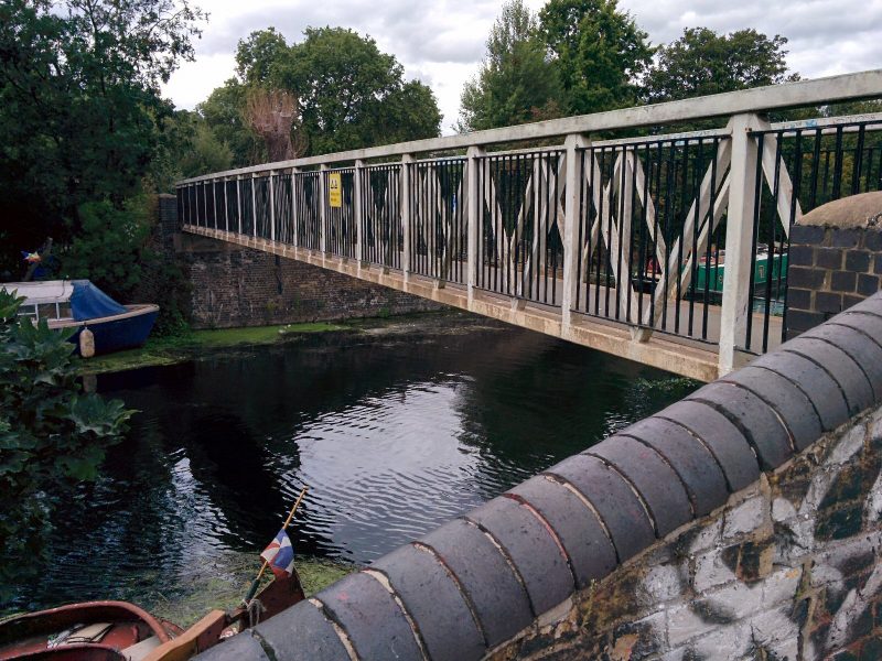
Dropping down the hill, we reach the Horse Shoe Bridge over the River Lea:

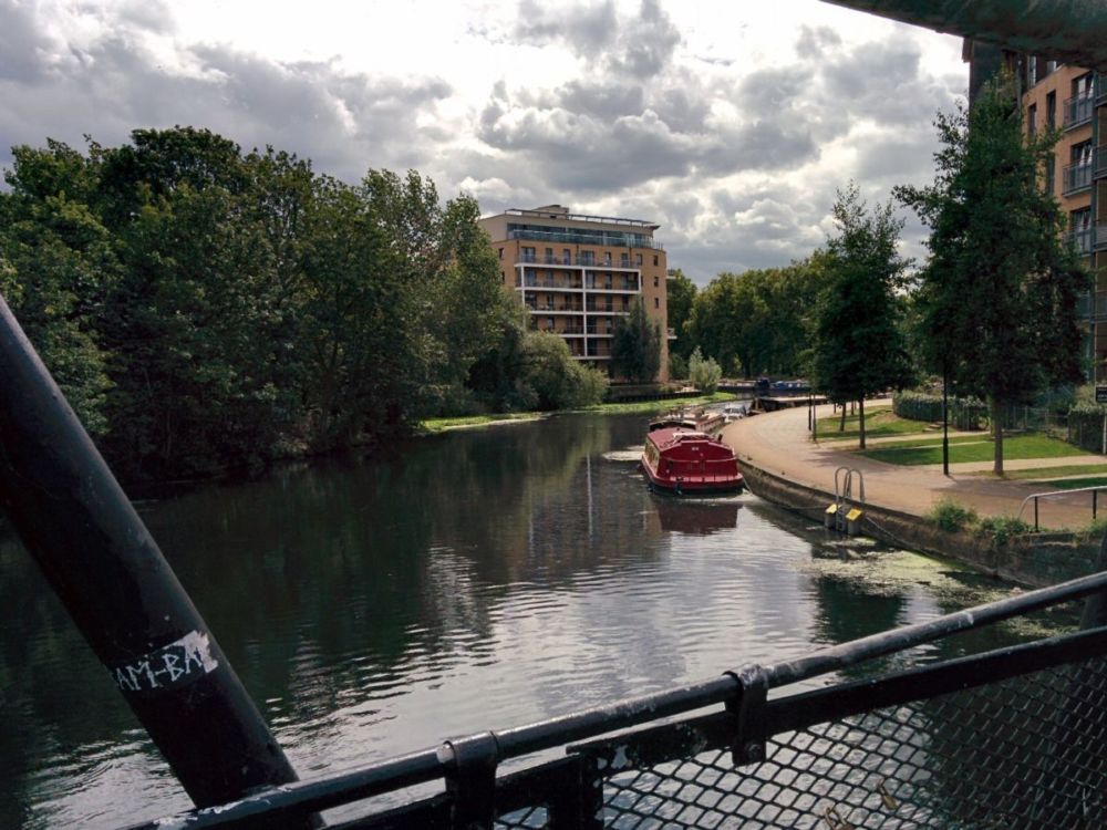
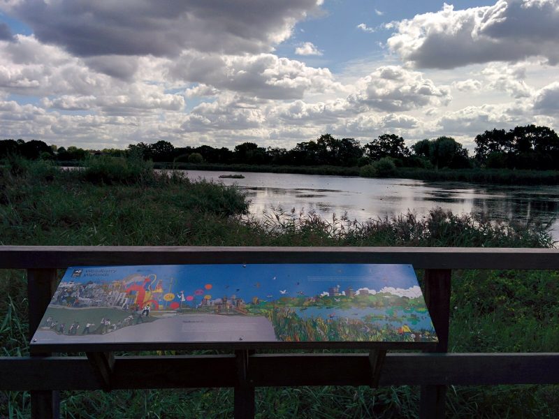
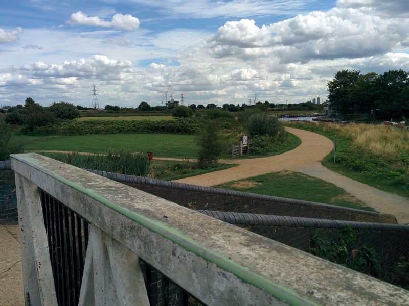
with views of Walthamstow Marshes:

For centuries the River Lea formed the boundary between Essex and Middlesex. Now it forms the boundary between the boroughs of Hackney and Waltham Forest. Over that time the spelling of the river has caused problems as originally it was Ley, a field covered with grass. Acts of Parliament called it Lee although it appeared as Lea on many maps. There were disputes about the spelling for a long time and to settle them it was decided that the natural aspects of the river, such as river itself, would be spelt LEA and man-made features such as the canal would be spelt LEE.

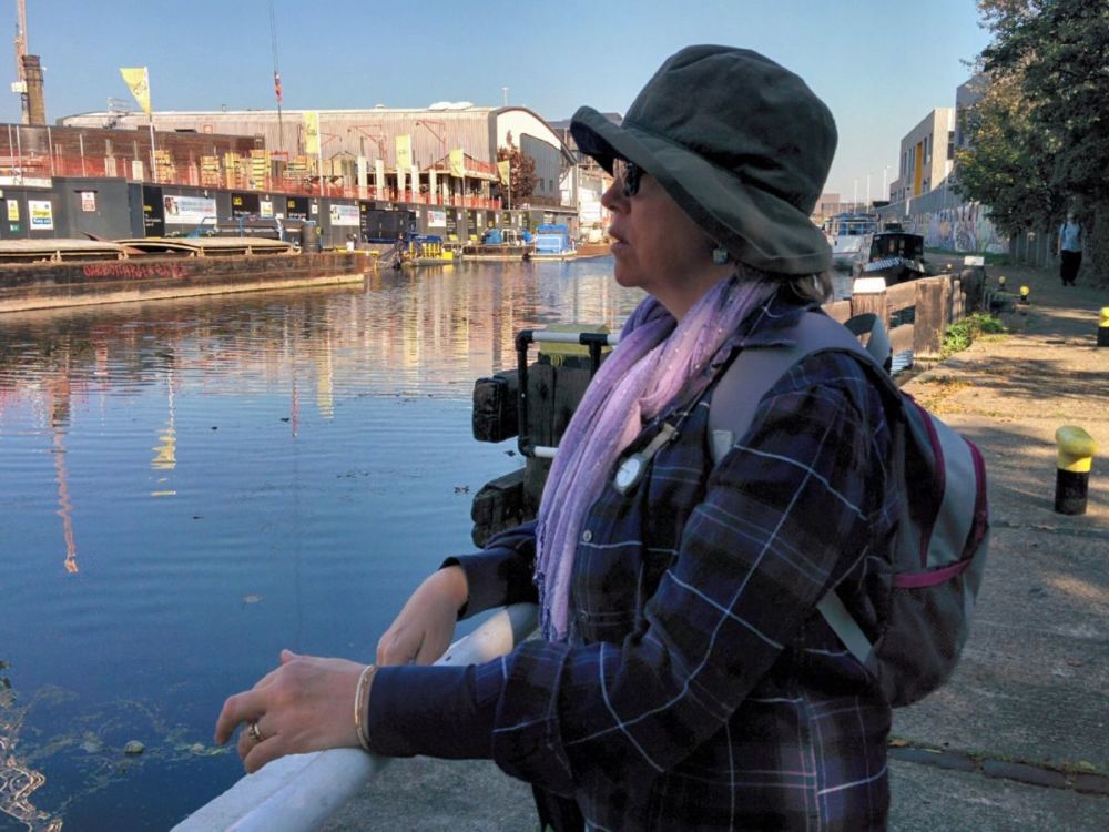
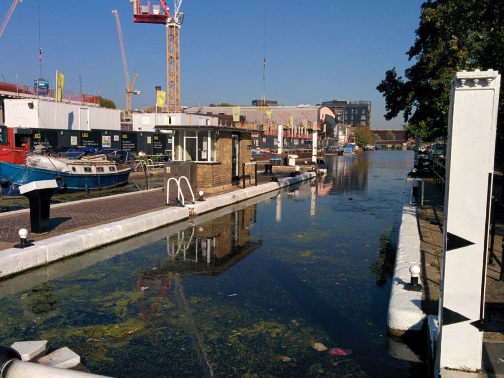
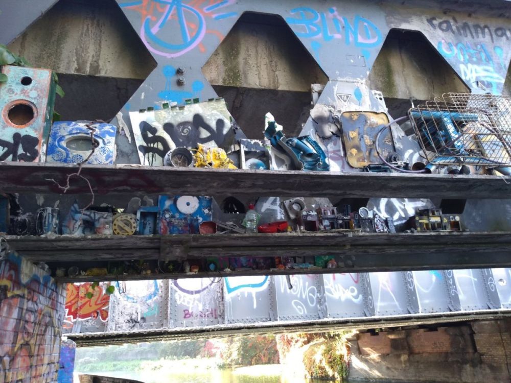
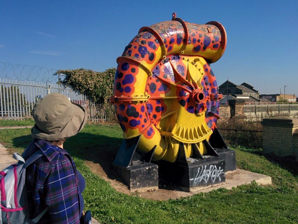
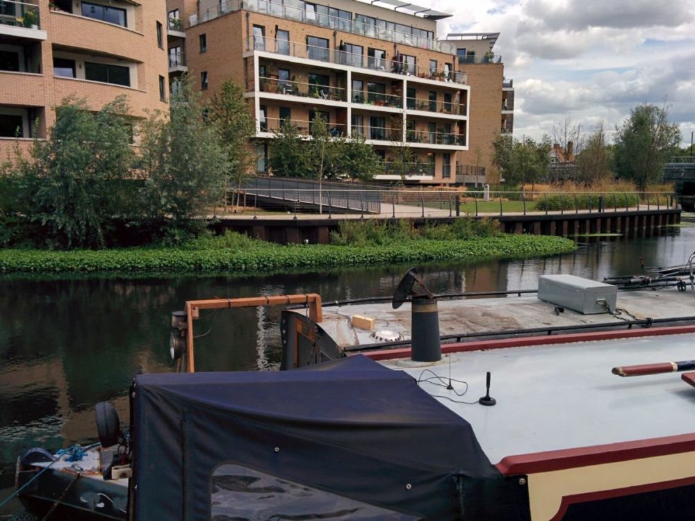
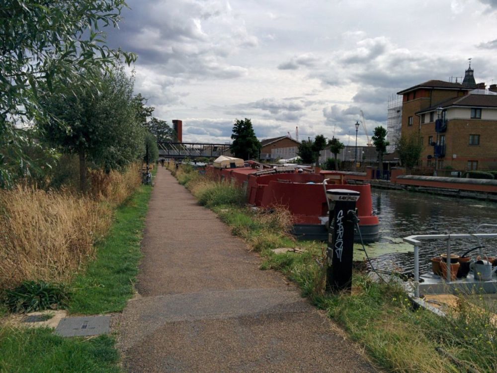
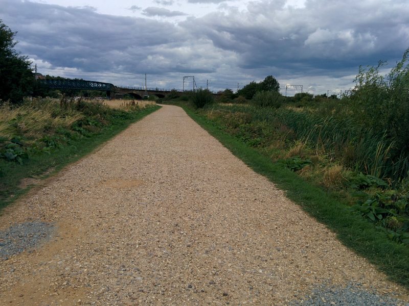
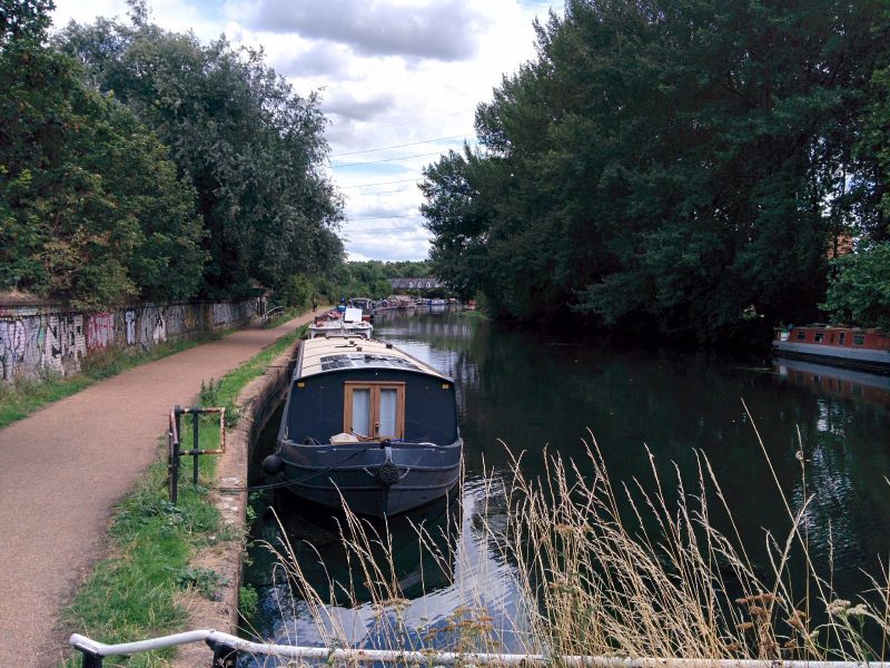
The path then follows the river down towards the Thames:


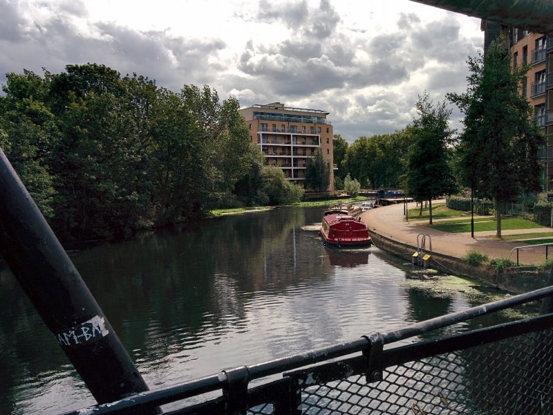
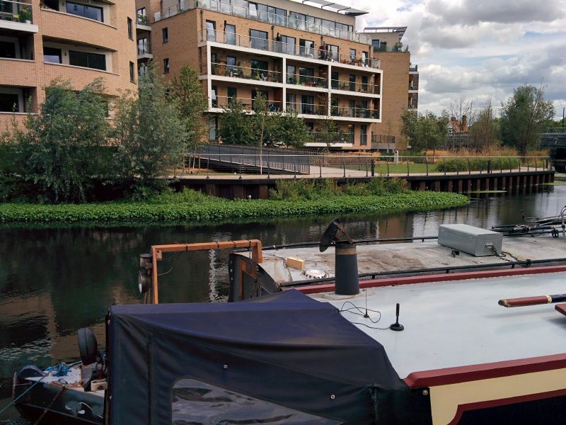
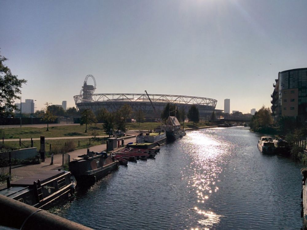
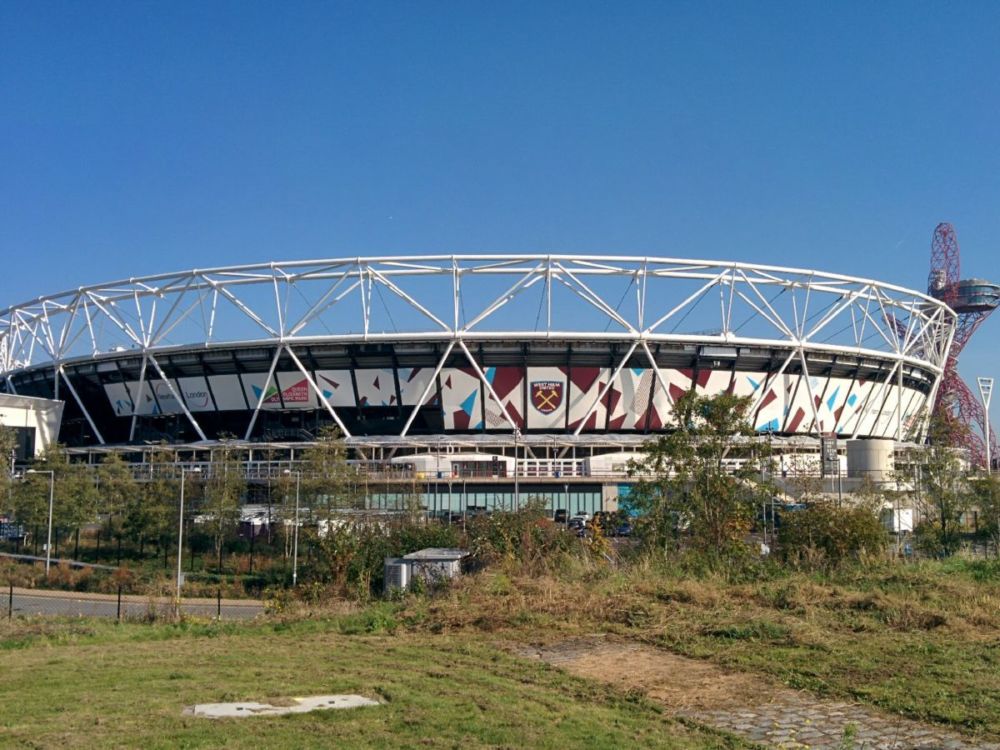
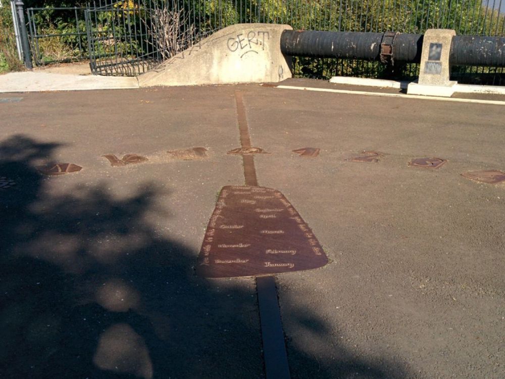
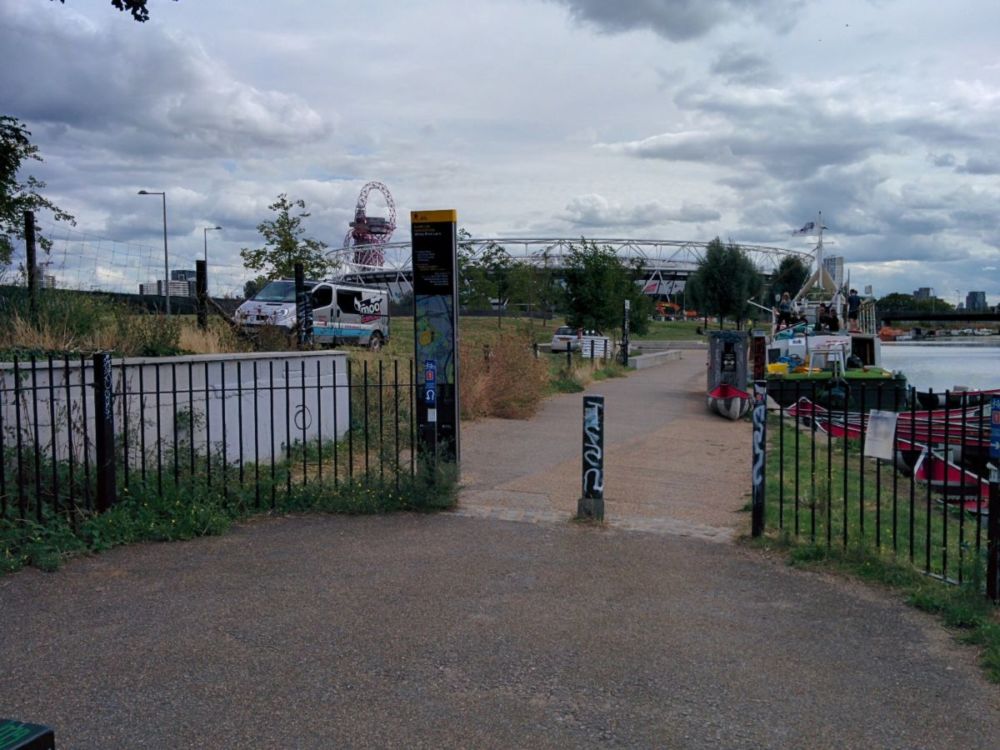
Eventually, the Olympic Park is seen in the distance:

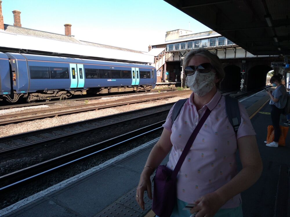
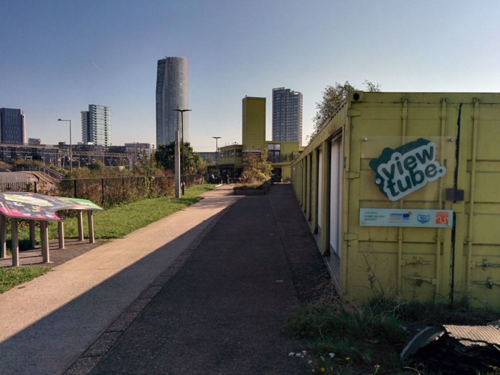
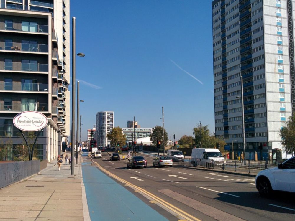
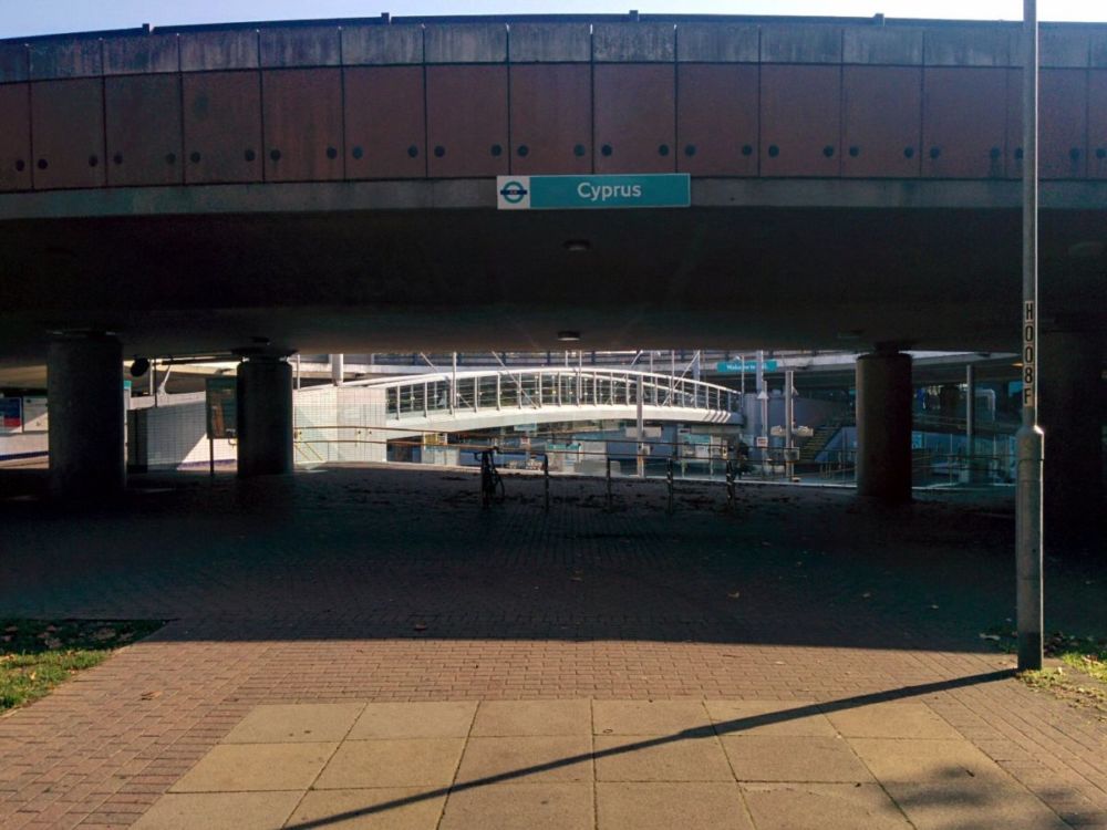
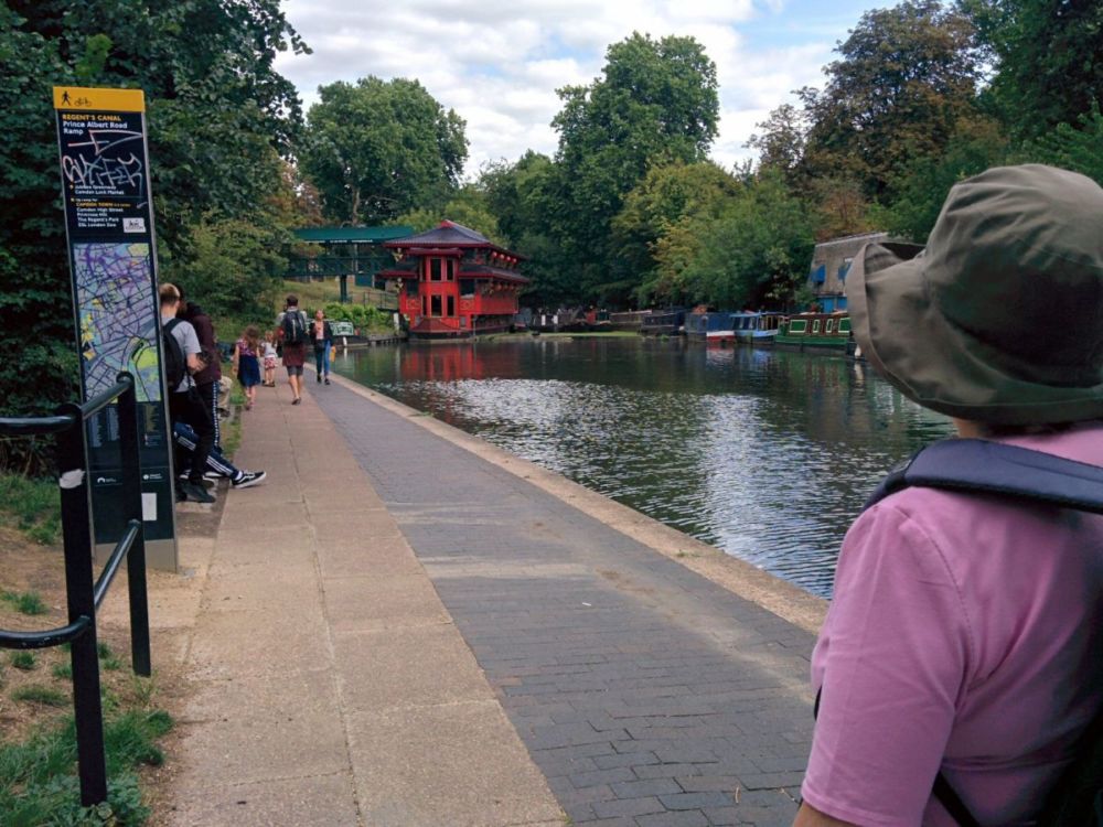
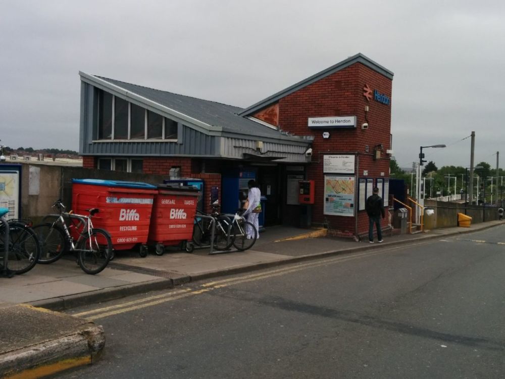
and a short detour leads to Hackney Wick Station and the train home:

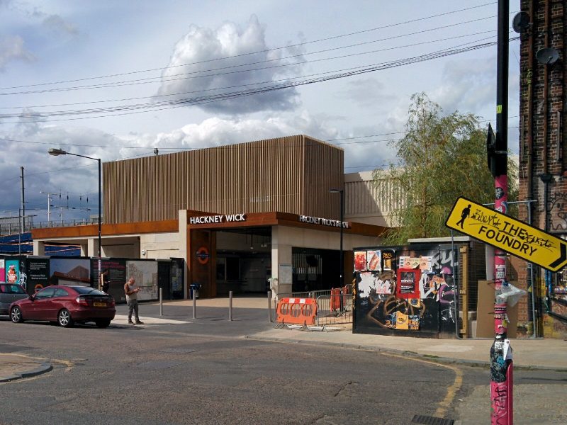
Yet again, all of the last stations that I’ve used on this walk all begin with H – Hanwell, Harrow, Hendon, Highgate and now Hackney Wick!

10 miles of Capital Ring walking today and 5 Geocaches found.

For more information on the Capital Ring, see https://tfl.gov.uk/modes/walking/capital-ring

Jubilee Greenway 1 & 2 – Buckingham Palace to Camden

Finally, two years after we first planned this, the sun was shining and we were both free to start our “joint” walk around London.
The Jubilee Greenway was completed in 2012 to mark the Queen’s Diamond Jubilee and the London 2012 Games. The most recent addition to the Walk London routes, the Jubilee Greenway is 60km (37 miles) long – one km for each year of the Queen’s reign, to link together all the major Games sites.

The official start is at Buckingham Palace; we went to St James’s Park Underground station and walked through the very pleasant St James’s Park to get there:

Unfortunately, our arrival at Buckingham Palace coincided with the Changing of the Guard, so the place was heaving with tourists:
and we couldn’t actually get to the start of the walk! So we nipped through Green Park to get to Constitution Hill and back to the Jubilee Greenway route.

Neither of us had seen the Commonwealth Gates (erected 2001) before:

Next was Hyde Park Corner:

and a subway into Hyde Park itself, with some lovely planting:

and a very strange object in the Serpentine:

(we never did find out what this was!).

Kensington Gardens was next (with Kensington Palace in the background):

Finally, we’re back to ordinary London Streets, though I suspect we couldn’t afford to live in Porchester Terrace:

We detoured to Leinster Gardens, which “has two false facades at numbers 23 and 24, constructed when the original Underground trains were steam-powered. Locomotives were fitted with condensers to reduce fumes, but ‘venting off’ was still needed in open-air sections to relieve the condensers and keep the tunnels free from smoke. In this upmarket area, the railway company hid this unsightly practice from residents behind a false facade. The facade is 5 feet (1.5 metres) thick with 18 blackened windows and the doors have no letter boxes.

You can see the blanked out windows on the right.

The route then followed streets towards Paddington Station, and after a stop for a beer, we reached the canal at Paddington Basin:

Paddington Basin is the terminus of the Paddington Arm of the Grand Union Canal. It was opened in 1801 and chosen because of its position on the New Road which led to the east, providing for onward transport. In its heyday, the basin was a major trans-shipment facility, and a hive of activity.
The Grand Union Canal is part of the British canal system. Its main line connects London and Birmingham, stretching for 220 kilometres (137 miles) with 166 locks.

From here, we followed the canal to Little Venice and the end of section 1.
The Pool of Little Venice is a basin between the Regent’s Canal and the Grand Union Canal, with an island called Browning’s Island. The island is named after the poet Robert Browning, who lived as a widower at nearby Beauchamp Lodge in Warwick Crescent (now demolished). 2012 was the 200th anniversary of his birth.

Notice the Jubilee Greenway marker in the pavement.

Section 2

This section follows the Regent’s Canal to Camden.
The Regent’s Canal provides a link from the Paddington arm of the Grand Union Canal, to the Limehouse Basin and the River Thames in east London. The canal is 8.6 miles (13.8 kilometres) long.

The route leaves the canal before Maida Hill Tunnel as there is no towpath through the tunnel:

Further on, permanently moored boaters have made the towpath quite interesting!

but then it’s back to a normal towpath:

The canal goes past (well through!) London Zoo:

then on to Cumberland Basin, where we left the canal to get to Camden Town station:

7.2 miles of Jubilee Greenway walking today.

For more information on the Jubilee Greenway, see https://tfl.gov.uk/modes/walking/jubilee-greenway

Capital Ring 10 & 11 – Hendon to Highgate

Fine weather again today, so I continue my Capital Ring Walk.

It was a fast journey to Hendon, helped by the new Thameslink timetable with regular services from London Bridge northwards.

Hendon Station itself is fairly uninspiring, and being right next to the M1, fairly noisy.

The remainder of Section 10 is uninspiring Hendon Suburbia, with many busy roads to cross.

Eventually a footbridge goes over the Northern Line near Hendon Central station and the end of Section 10 is reached:

Section 11

At last, some green as I go through Hendon Park:

But this doesn’t last long as the route is diverted along the A406 North Circular Road due to a river footbridge closed “for health and safety reasons”:

The route now follows a good path alongside the River Brent:

Further on, the path was ‘closed’, but it looked fine to me, so I used it rather than walking along the busy and noisy North Circular Road:

The route then follows the course of Mutton Brook and then into the pleasant Hampstead Garden Suburb:

Hampstead Garden Suburb was promoted by Dame Henrietta Barnett in 1907 and principally planned by Sir Raymond Unwin, with contributions from many leading architects of the day. Purposefully designed to create a range of house styles and sizes, the suburb offers many open spaces, pedestrian walkways and beautiful mature trees.

The route continues along Mutton Brook through the attractive Northway Gardens:

and then into Lyttleton Playing Fields:

Then it’s back to the streets through East Finchley:

East Finchley station was originally opened as East End station in 1867 by the Great Northern Railway. It was later demolished and re-built to an art deco design by Charles Holden and Underground services began running in 1939.

Shortly after the station, the route goes through Cherry Tree Wood:

More streets, then into the very nice Highgate Wood:

Owned and managed by the Corporation of London, Highgate Wood with its 28 hectares of ancient woodland probably dates from the last ice age. Part of the Ancient Forest of Middlesex, the wood features in both the Domesday Book and more recently the Bishop of London’s estate.

Then across a road into Queen’s Wood:

From the other side of this wood, it’s a short walk to Highgate Tube Station. I’m amused that the last four stations that I’ve used on this walk all begin with H – Hanwell, Harrow, Hendon and Highgate!

6.5 miles of Capital Ring walking today and 2 Geocaches found.

For more information on the Capital Ring, see https://tfl.gov.uk/modes/walking/capital-ring

Capital Ring 9 & 10 – Harrow to Hendon

Time for me to continue my Capital Ring Walk.

An fast and easy journey back to Harrow, though using the tube is never my favourite. It was a bad plan to break the ring at Harrow though, as the walk goes over the top of the hill, with the station at the bottom. So the first task was to climb back up the hill:

Then we’re back into Harrow Village, mostly dedicated to school buildings:

At the bottom of the hill are the school playing fields:

At the end of these is the only stile on the Capital Ring walk:

Across the road is the uninspiring Northwick Park:

then under the West Coast Main Line at South Kenton station:

This is the end of Section 9.

Section 10

Preston Park is reached after plodding through a few streets:

Then more suburbia to the wilderness of Fryent Country Park:

The path climbs up and winds around Barn Hill:

 
There is a white painted ‘trig’ point, originally used in mapping the land. There was an 18th century folly here but now there is only a seat giving views of Wembley Stadium and, on a good day, St. Paul’s Cathedral and the Telecom Tower. Barn Hill, rising to 282 feet (86 metres) above sea level, was landscaped as part of the Wembley Park estate in 1793
by the famous landscape gardener Humphry Repton and is one of the best surviving examples of his early work. The Lombardy Poplar Avenue, which gives Barn Hill its
distinctive skyline, was planted in about 1935, possibly to commemorate the Silver Jubilee of King George V. You can just see the ring of Wembley Stadium in the background.

Dropping back down the hill, the path climbs to yet another viewpoint:

You can just see the spire of Harrow-on-the-Hill church on the hill in the distance, which is where I started todays walk.

Fryent Country Park is a surprising and pleasant wilderness so close to London:

Wembley Stadium is still visible behind the trees:

Back to streets, then to the curiously named Welsh Harp Open Space, which borders Brent Reservoir:

Then it’s back to pavement walking to Hendon Station:

This has Thameslink services, so I was able to avoid the tube on the return journey.

7.8 miles of Capital Ring walking today and NO Geocaches found (unusually, there were none placed on this part of the Capital Ring).

For more information on the Capital Ring, see https://tfl.gov.uk/modes/walking/capital-ring