An early start this morning to catch the train to Munich. Luckily the forecast rain didn’t happen, and we got to the Cologne Station with enough time to have a quick look at the adjacent Cathedral.

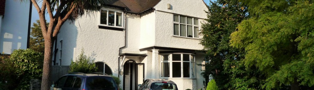
An early start this morning to catch the train to Munich. Luckily the forecast rain didn’t happen, and we got to the Cologne Station with enough time to have a quick look at the adjacent Cathedral.
We had time for a short walk along the River Rhein before dinner

Then back to our hotel for a nice dinner (with both normal and non-alcoholic wheat beer – guess who had which?)


Yet another smooth journey here – it’s very warm outside compared to Brussels, though cool in our room.


A smooth journey to Brussels, with enough time to enjoy a couple of beers before our next train.
It was a smooth (and quick) journey to St Pancras, despite some problems with Thameslink further south…


We’re now going through France on Eurostar towards Brussels, where there will be plenty of time for a beer (or two).
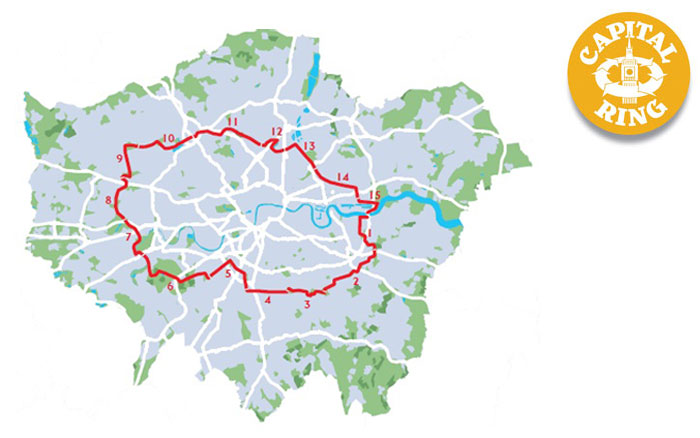
Fine weather again today, so I continue my Capital Ring Walk.
It was a fast journey to Hendon, helped by the new Thameslink timetable with regular services from London Bridge northwards.
Hendon Station itself is fairly uninspiring, and being right next to the M1, fairly noisy.
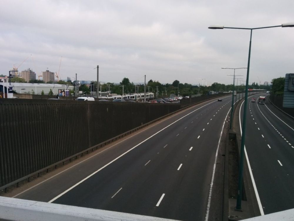
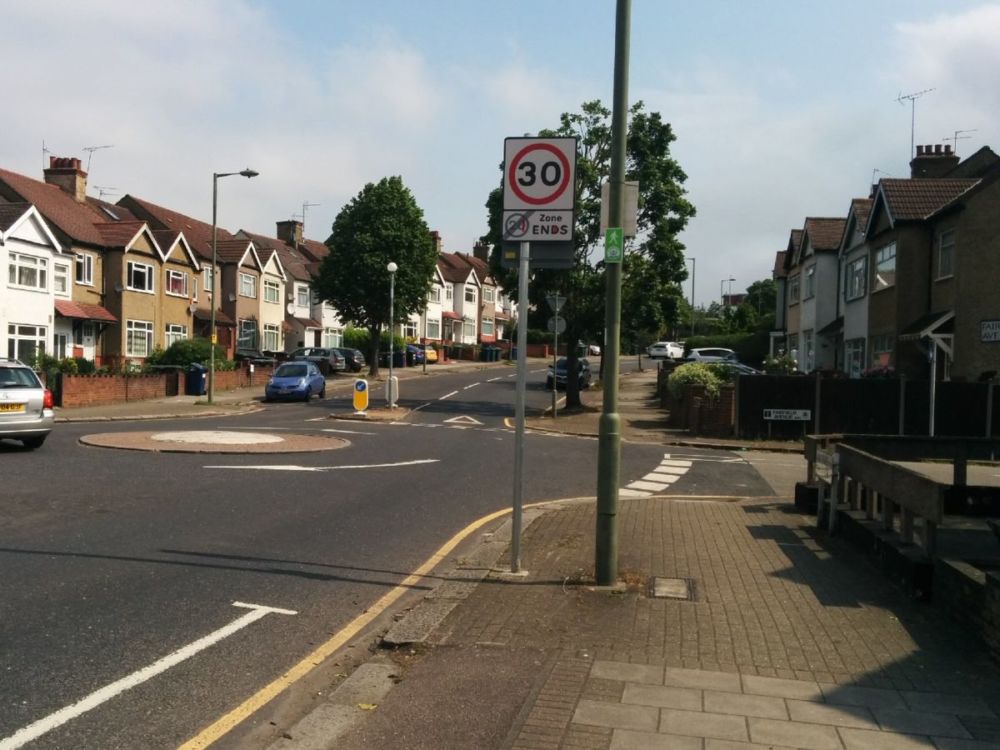
The remainder of Section 10 is uninspiring Hendon Suburbia, with many busy roads to cross.
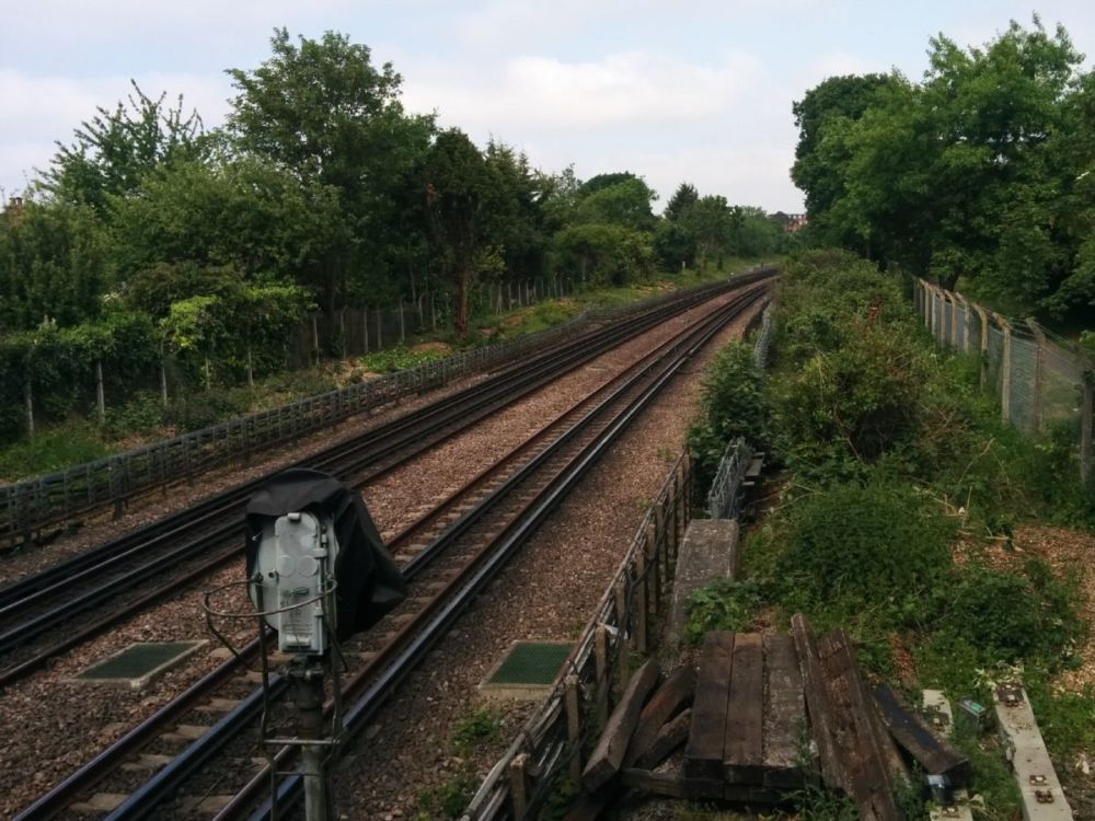
Eventually a footbridge goes over the Northern Line near Hendon Central station and the end of Section 10 is reached:
At last, some green as I go through Hendon Park: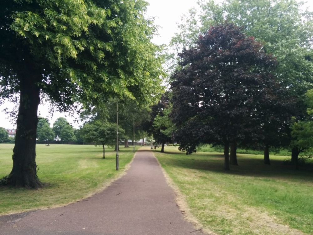
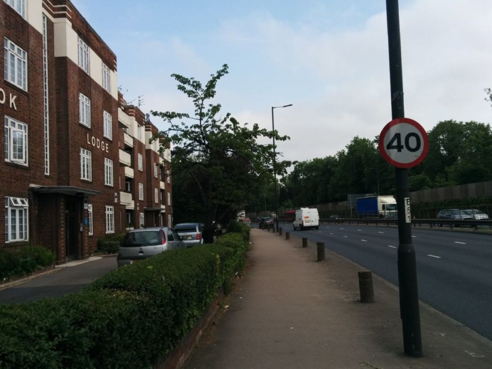
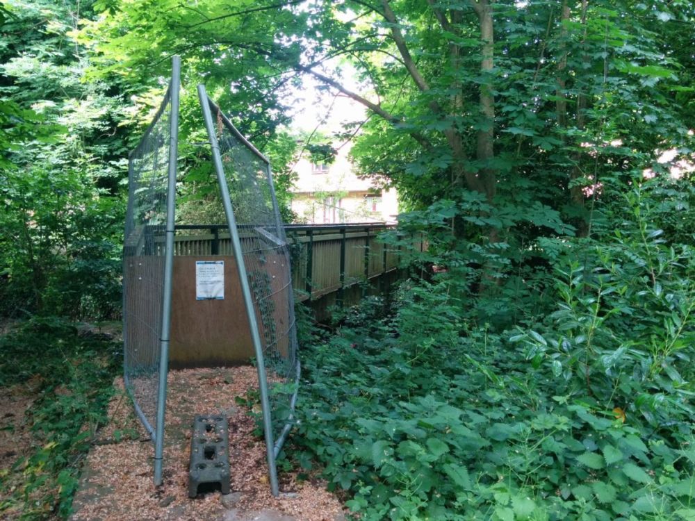
But this doesn’t last long as the route is diverted along the A406 North Circular Road due to a river footbridge closed “for health and safety reasons”:
The route now follows a good path alongside the River Brent:
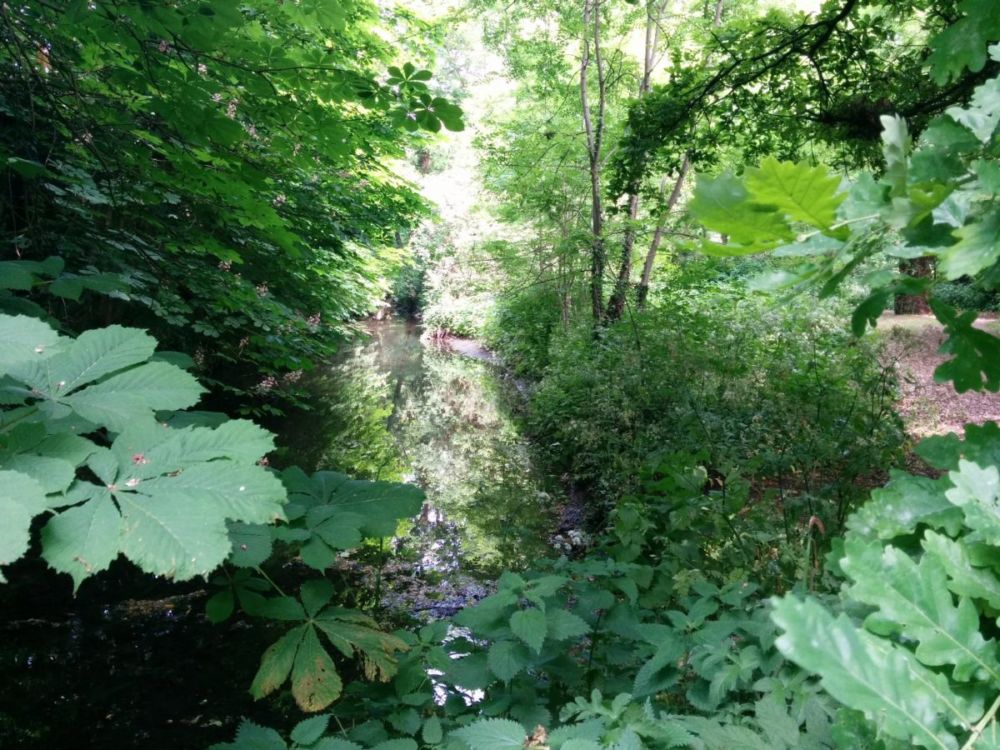
Further on, the path was ‘closed’, but it looked fine to me, so I used it rather than walking along the busy and noisy North Circular Road:

The route then follows the course of Mutton Brook and then into the pleasant Hampstead Garden Suburb:

“Hampstead Garden Suburb was promoted by Dame Henrietta Barnett in 1907 and principally planned by Sir Raymond Unwin, with contributions from many leading architects of the day. Purposefully designed to create a range of house styles and sizes, the suburb offers many open spaces, pedestrian walkways and beautiful mature trees.”
The route continues along Mutton Brook through the attractive Northway Gardens:
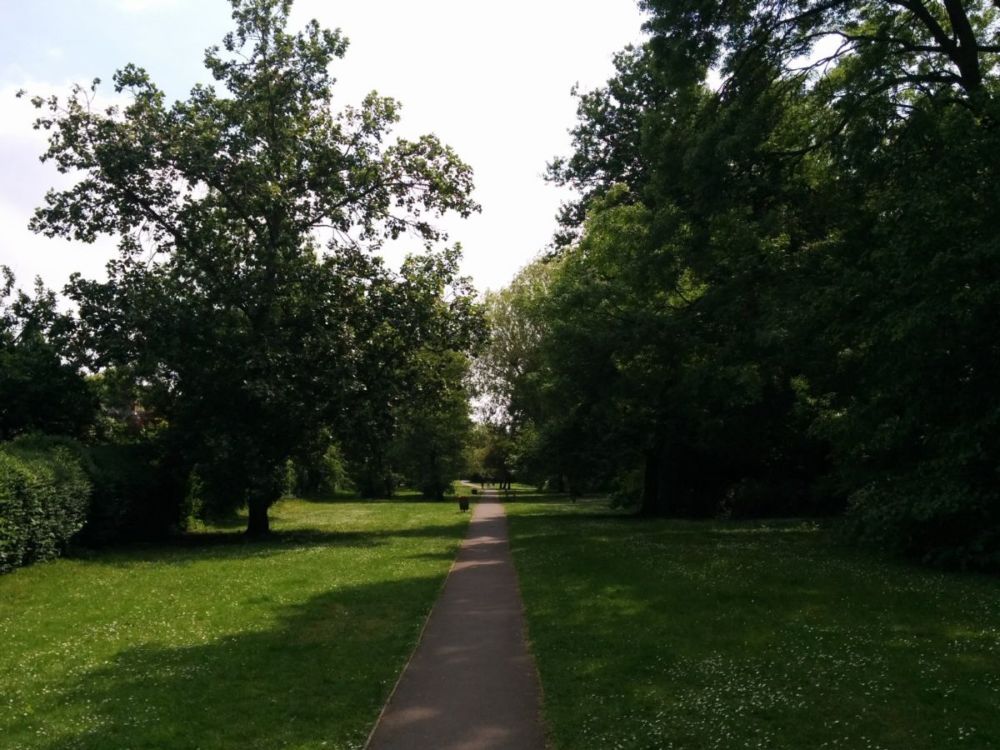
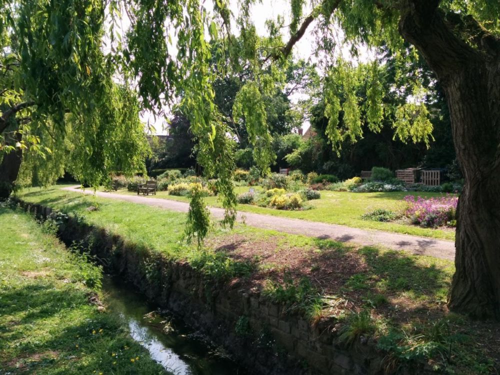
and then into Lyttleton Playing Fields:
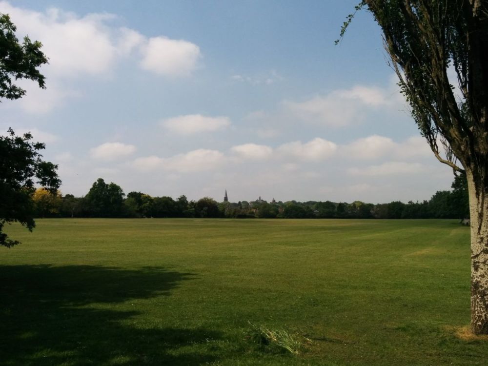
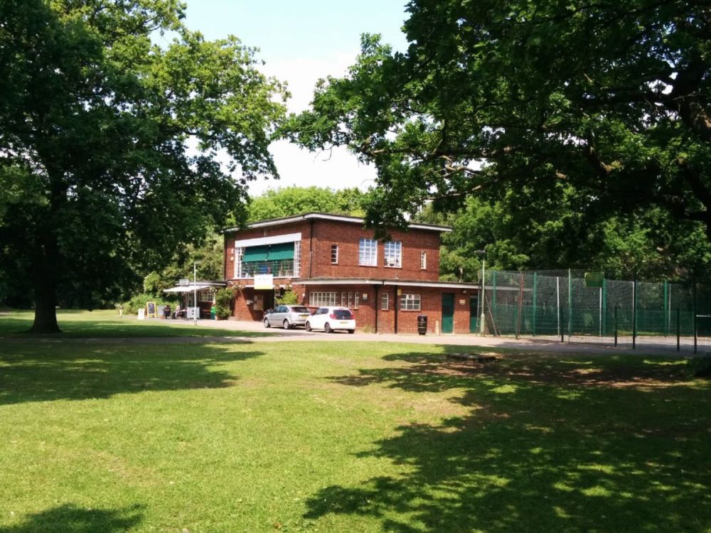
Then it’s back to the streets through East Finchley:
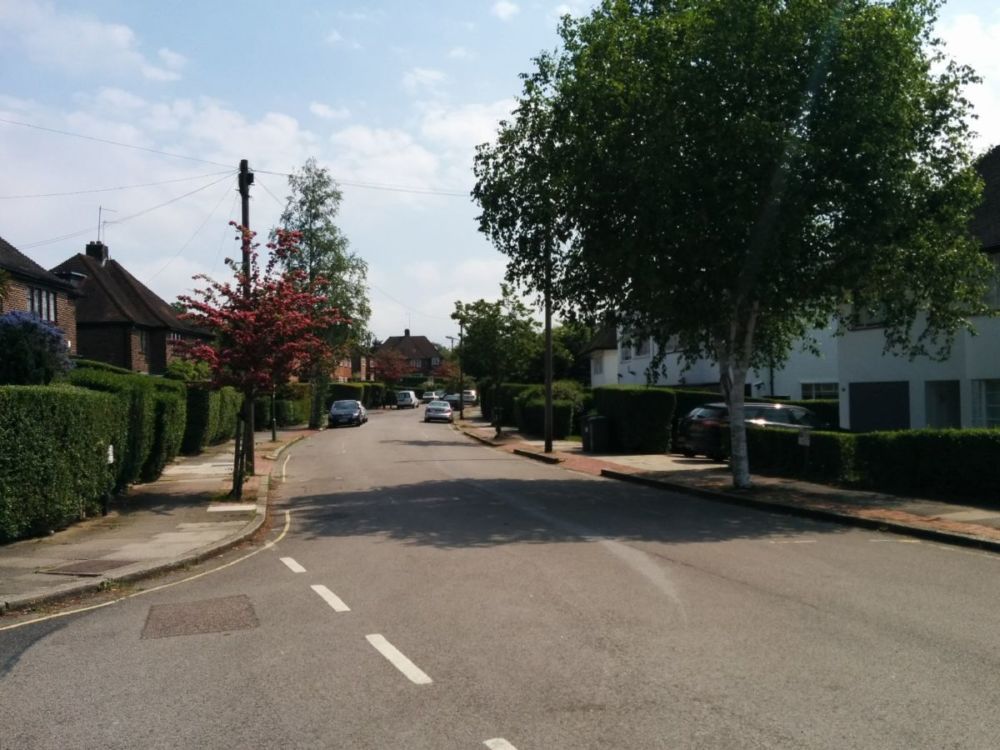
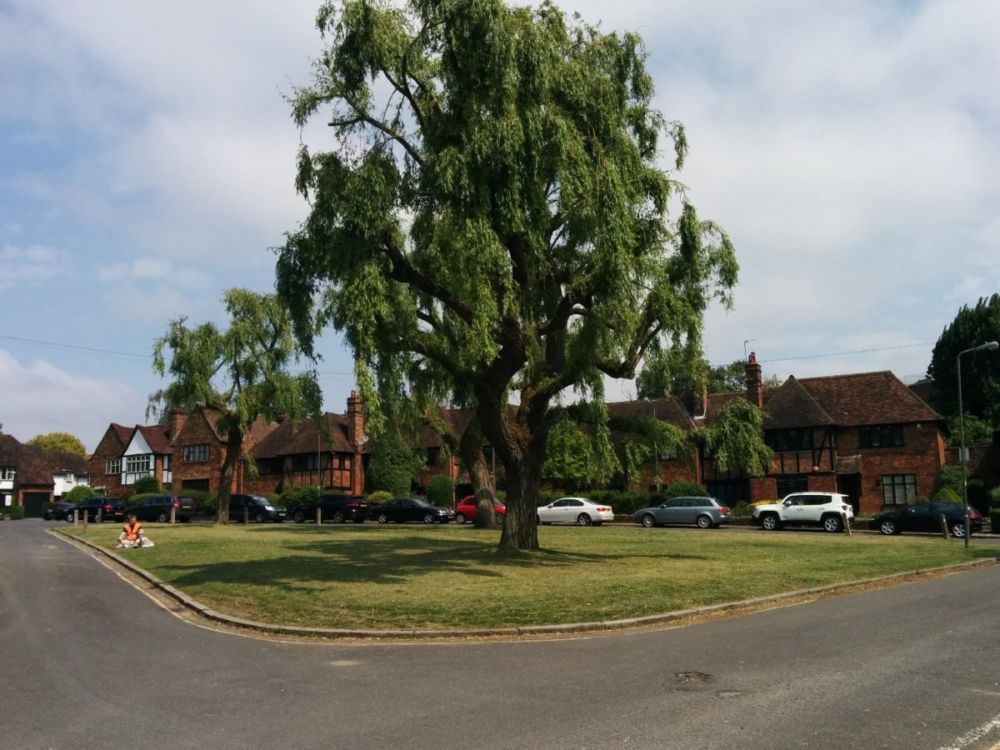
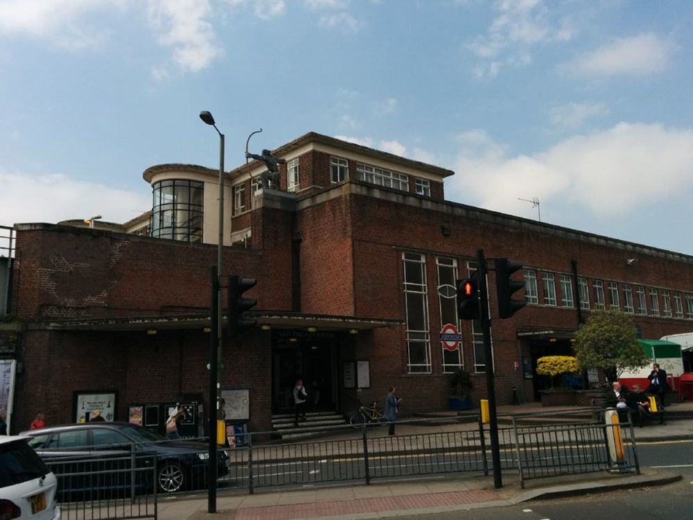
“East Finchley station was originally opened as East End station in 1867 by the Great Northern Railway. It was later demolished and re-built to an art deco design by Charles Holden and Underground services began running in 1939.”
Shortly after the station, the route goes through Cherry Tree Wood: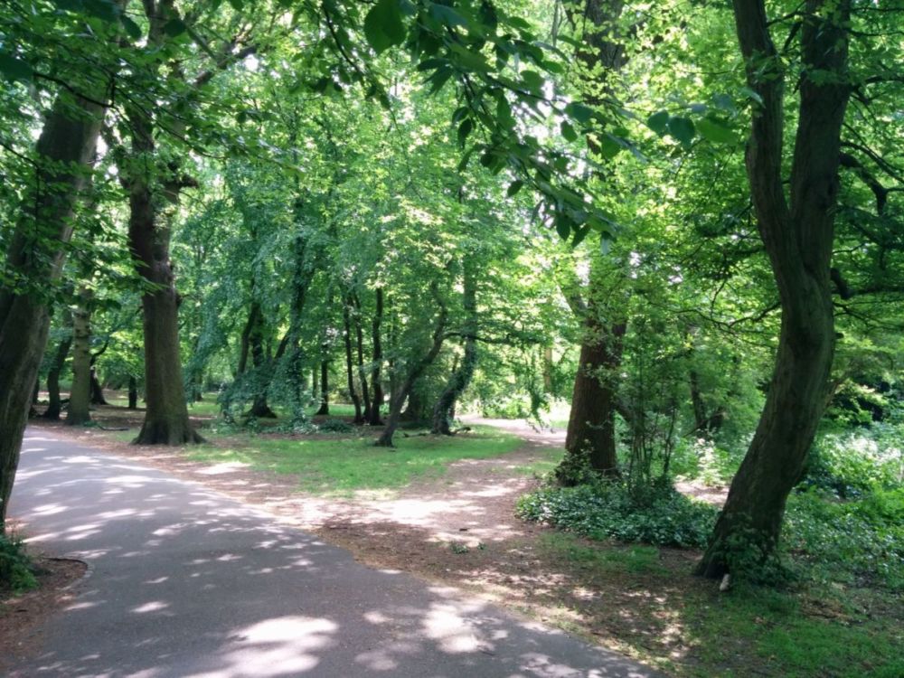
More streets, then into the very nice Highgate Wood:
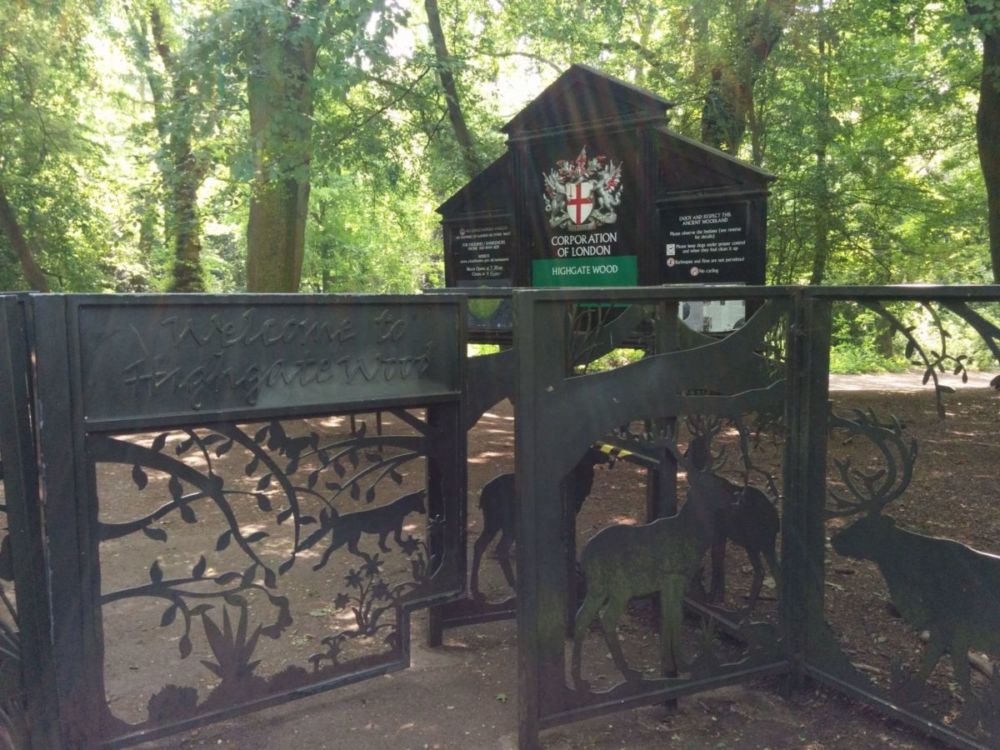
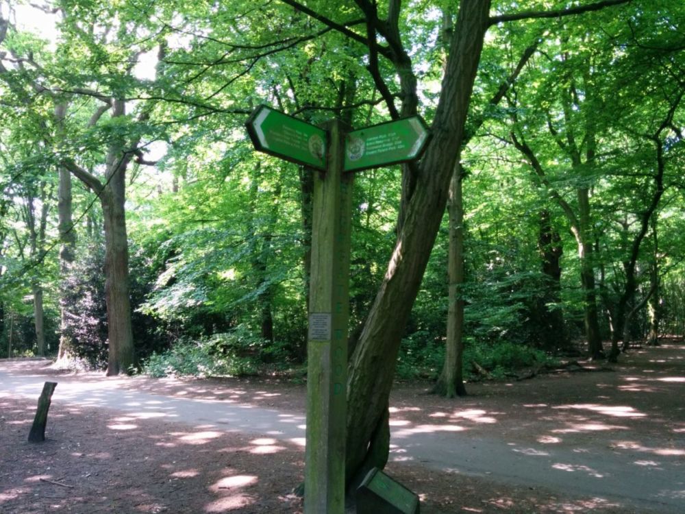
“Owned and managed by the Corporation of London, Highgate Wood with its 28 hectares of ancient woodland probably dates from the last ice age. Part of the Ancient Forest of Middlesex, the wood features in both the Domesday Book and more recently the Bishop of London’s estate.”
Then across a road into Queen’s Wood:
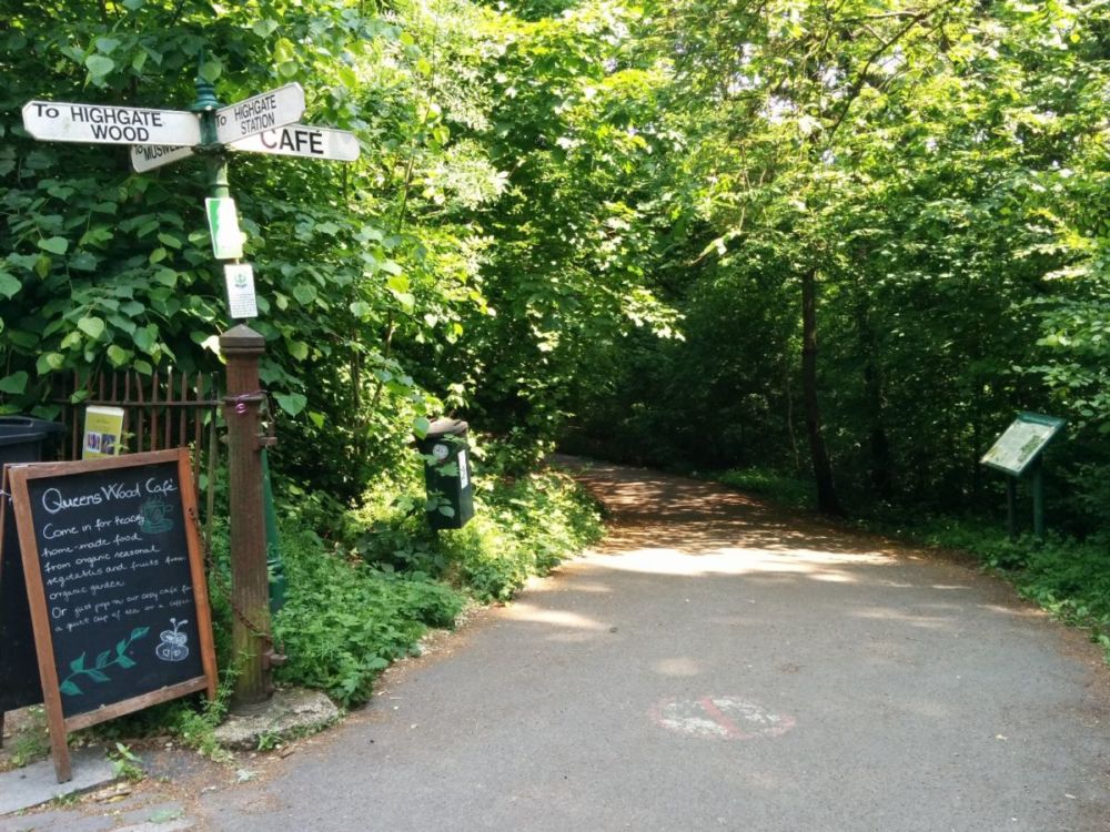
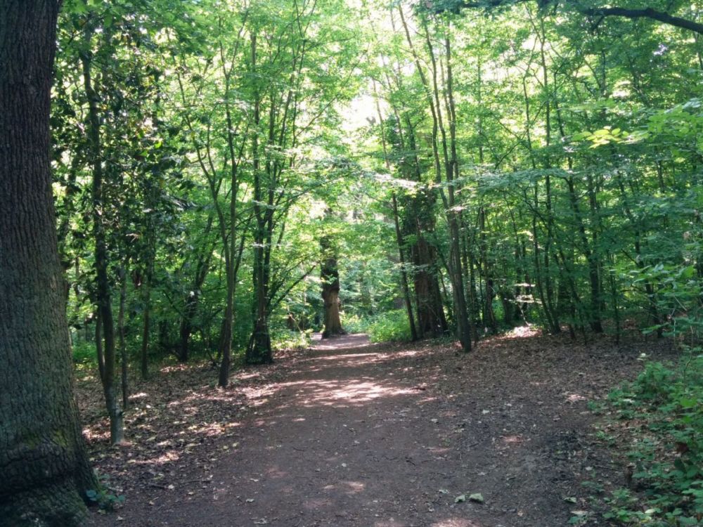
From the other side of this wood, it’s a short walk to Highgate Tube Station. I’m amused that the last four stations that I’ve used on this walk all begin with H – Hanwell, Harrow, Hendon and Highgate!
6.5 miles of Capital Ring walking today and 2 Geocaches found.
For more information on the Capital Ring, see https://tfl.gov.uk/modes/walking/capital-ring
Time for me to continue my Capital Ring Walk.
An fast and easy journey back to Harrow, though using the tube is never my favourite. It was a bad plan to break the ring at Harrow though, as the walk goes over the top of the hill, with the station at the bottom. So the first task was to climb back up the hill:
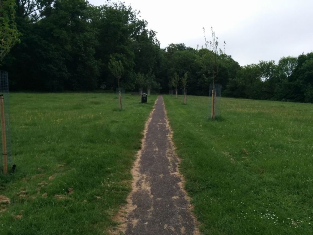
Then we’re back into Harrow Village, mostly dedicated to school buildings:
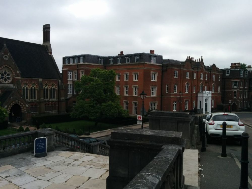
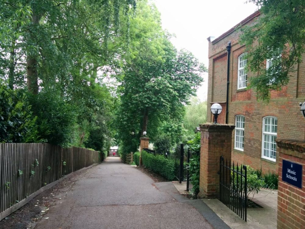
At the bottom of the hill are the school playing fields:
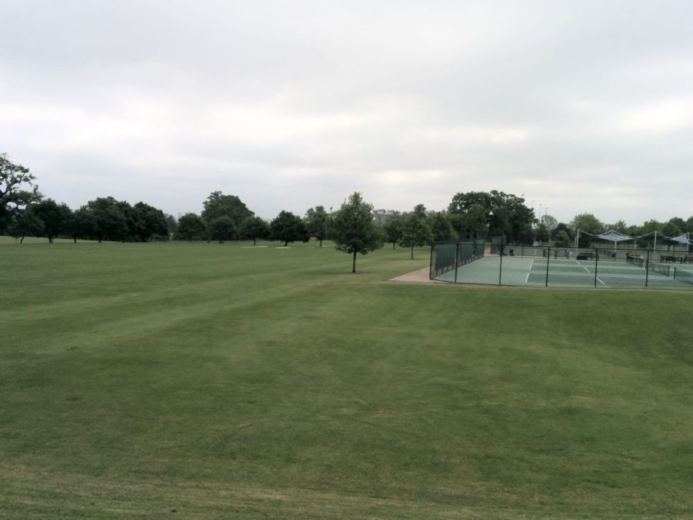
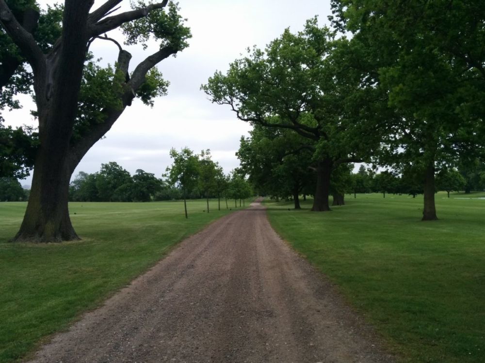
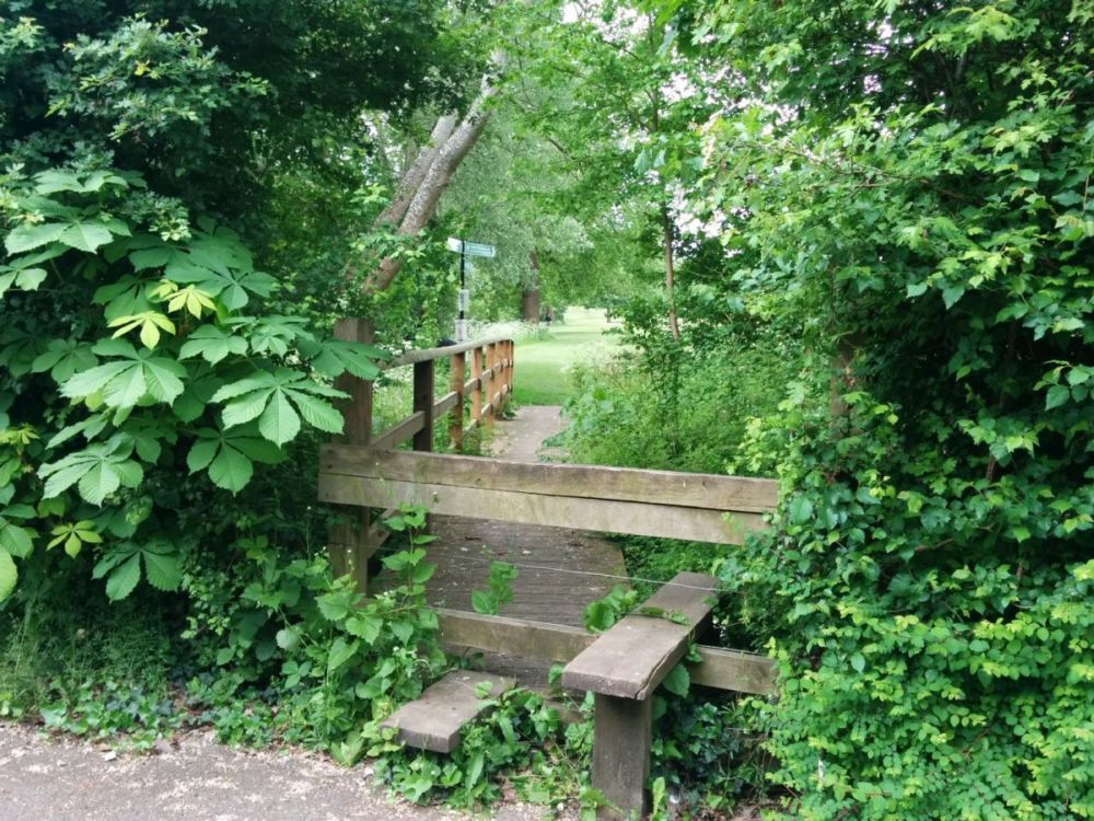
At the end of these is the only stile on the Capital Ring walk:
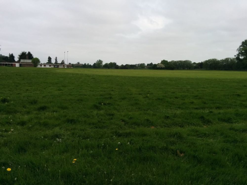
Across the road is the uninspiring Northwick Park:
then under the West Coast Main Line at South Kenton station:
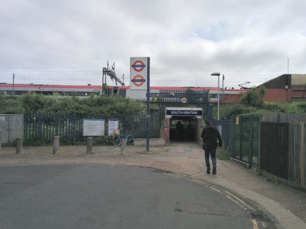
This is the end of Section 9.
Preston Park is reached after plodding through a few streets:
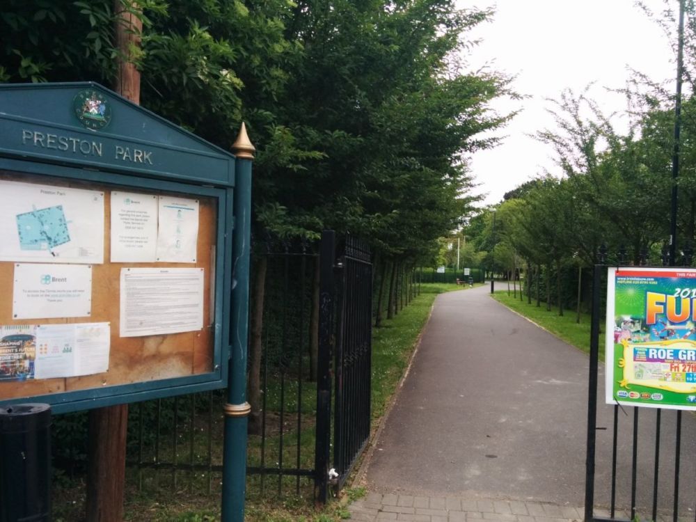
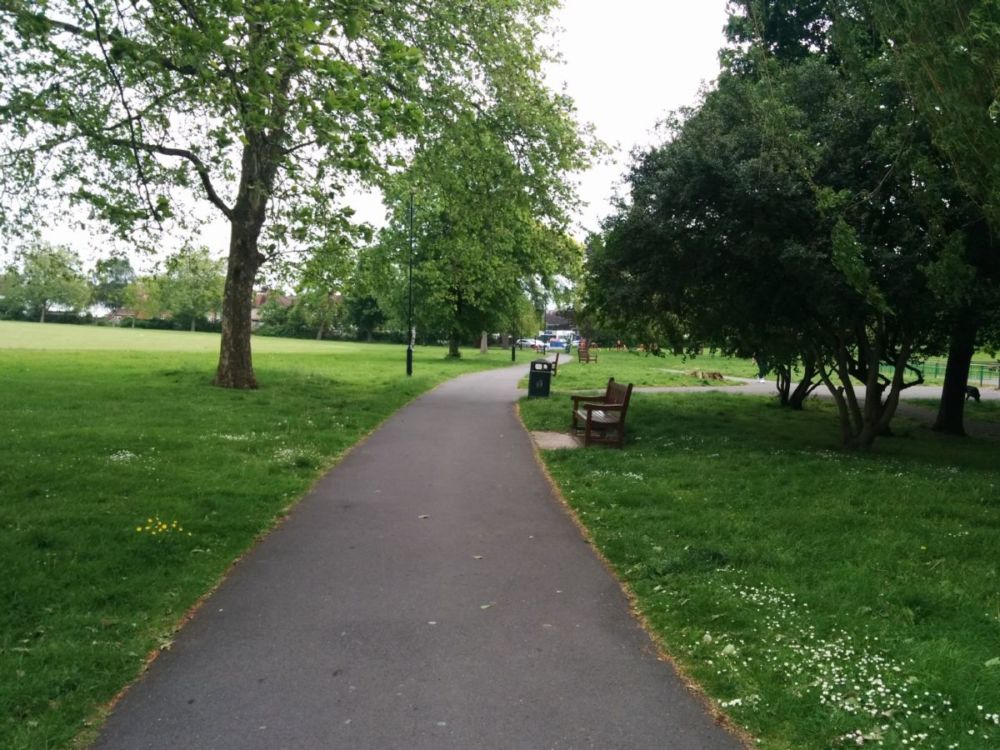
Then more suburbia to the wilderness of Fryent Country Park:


The path climbs up and winds around Barn Hill:


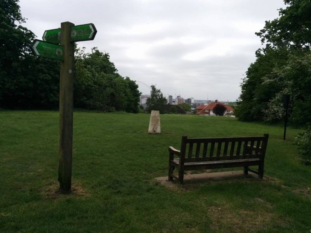
“There is a white painted ‘trig’ point, originally used in mapping the land. There was an 18th century folly here but now there is only a seat giving views of Wembley Stadium and, on a good day, St. Paul’s Cathedral and the Telecom Tower. Barn Hill, rising to 282 feet (86 metres) above sea level, was landscaped as part of the Wembley Park estate in 1793
by the famous landscape gardener Humphry Repton and is one of the best surviving examples of his early work. The Lombardy Poplar Avenue, which gives Barn Hill its
distinctive skyline, was planted in about 1935, possibly to commemorate the Silver Jubilee of King George V. You can just see the ring of Wembley Stadium in the background.”
Dropping back down the hill, the path climbs to yet another viewpoint:
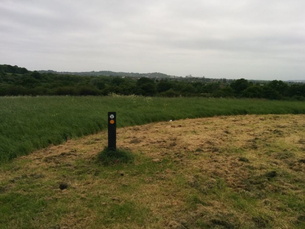
You can just see the spire of Harrow-on-the-Hill church on the hill in the distance, which is where I started todays walk.
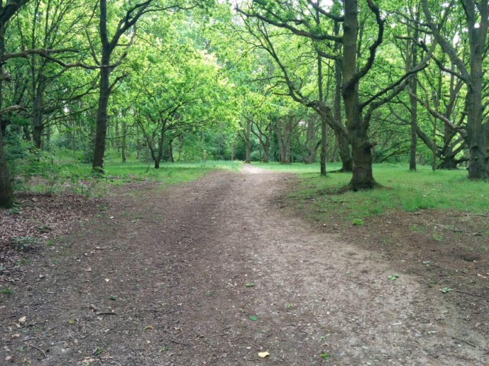
Fryent Country Park is a surprising and pleasant wilderness so close to London:
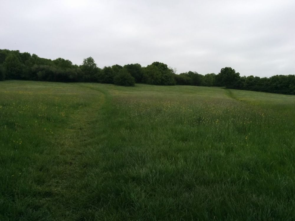
Wembley Stadium is still visible behind the trees:

Back to streets, then to the curiously named Welsh Harp Open Space, which borders Brent Reservoir:
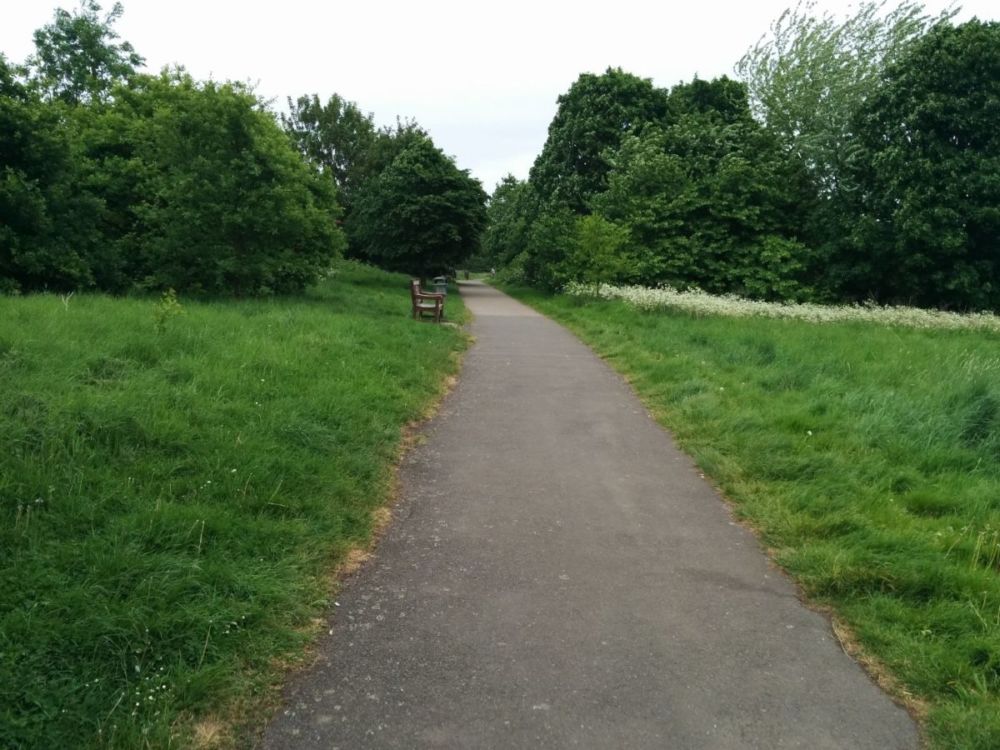
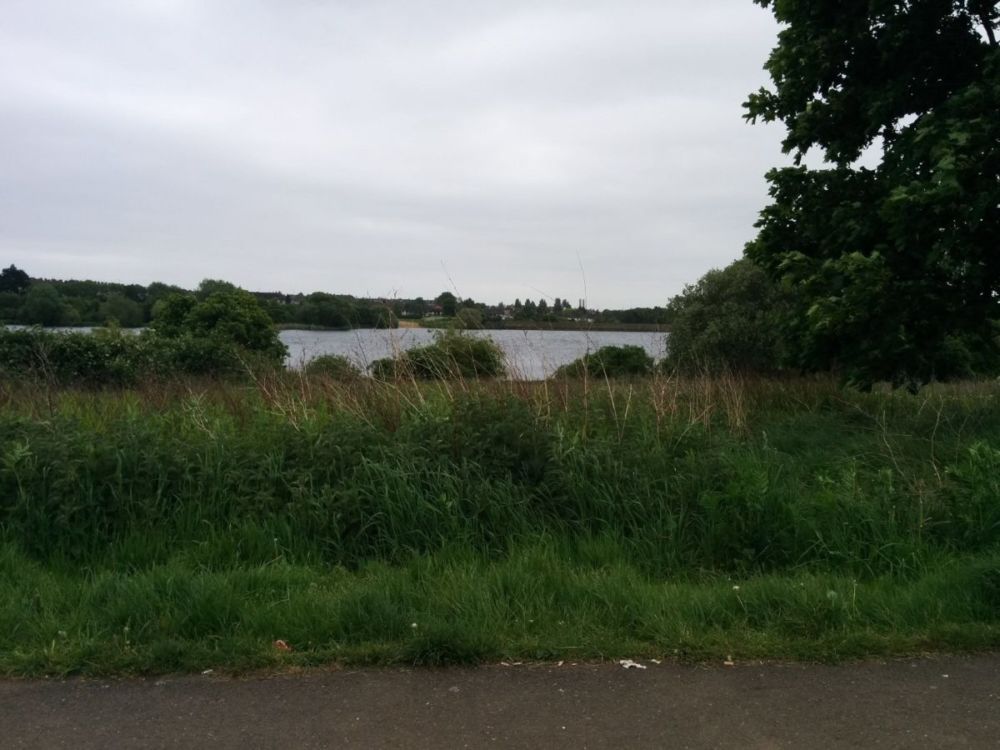
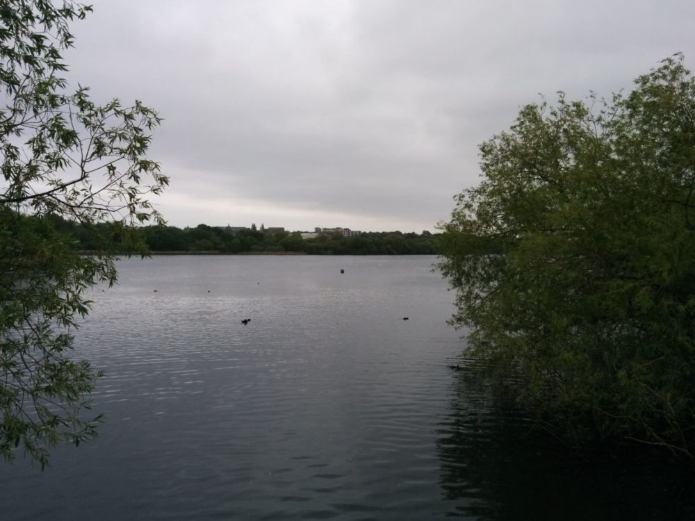
Then it’s back to pavement walking to Hendon Station:
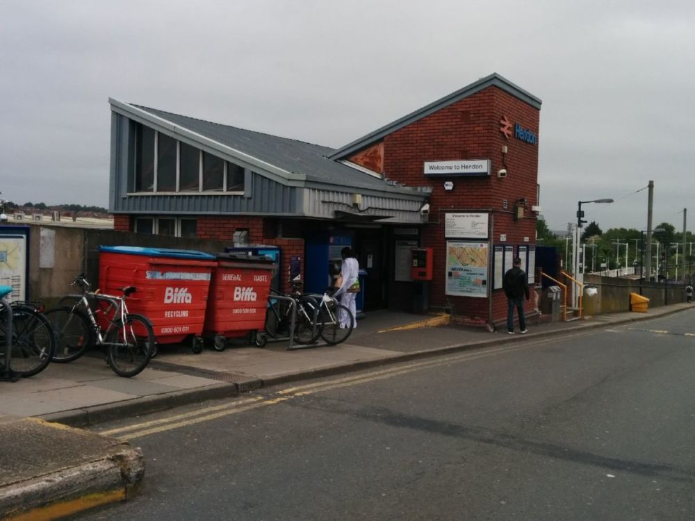
This has Thameslink services, so I was able to avoid the tube on the return journey.
7.8 miles of Capital Ring walking today and NO Geocaches found (unusually, there were none placed on this part of the Capital Ring).
For more information on the Capital Ring, see https://tfl.gov.uk/modes/walking/capital-ring
This is an eclectic National Trust property tucked in a quiet corner of the city behind the minster.

We couldn’t visit York without going here again – though it all seemed quite different from the last time we were there many years ago…


We had a stroll out of town along the River Ouse.

Including the millennium footbridge


and the Rowntree Gardens:

