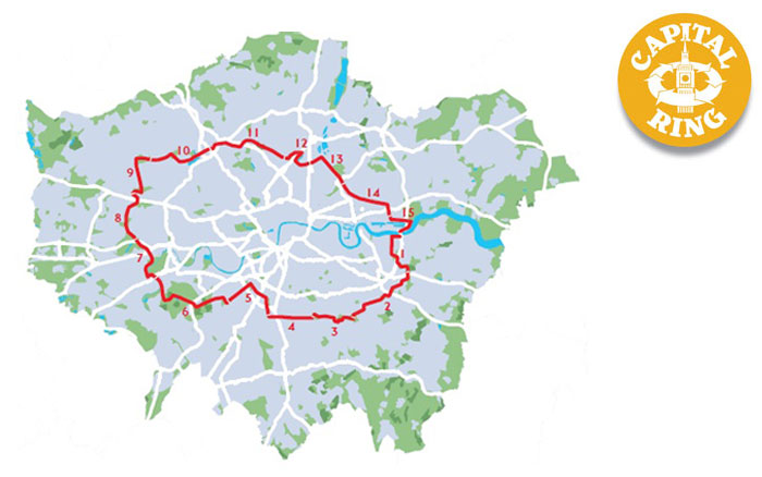
Capital Ring Walk 1 & 2 – Woolwich to Grove Park

Another sunny autumn day, so I find time for another London walk. The Capital Ring is a shorter (78 miles) “inner” version of the London Loop Walk that I finished earlier this year.

Two trains were needed to get to the nearest station at Woolwich Arsenal, then a short walk through Woolwich itself.

The Thames is soon reached; the Woolwich Ferry can be see on the right of this photo:

The walk officially starts at the Southern Entrance of the Woolwich Foot Tunnel – unlike the London Loop, it is possible to finish the Capital Ring at the start without using a boat.

The walk follows the Thames Path for a while:

Eventually, some green is reached at Maryon Park.
“Maryon Park, and Maryon Wilson Park, were once owned by the Maryon Wilson family of Charlton House. This park was formed from sandpits and another nearby sandpit is now the home of Charlton Athletic Football Club.”

For somewhere so close to a major river, it’s surprisingly hilly!

There is a small children’s zoo in Maryon Wilson Park:

And some nice autumn colours:

Charlton Park is next, just boring sports fields:

Then into something approaching open country as I walk across Woolwich Common:

After crossing Shooters Hill Road, I’m on Eltham Common:

With some interesting fungi growing on the steps:

Then into Castle Wood:

And Severndroog Castle:


Severndroog is an eccentric triangular castle standing 19 metres high. It was built as a memorial to Commodore Sir William James, owner of the land in the 18th century. The East India Company employed him to suppress piracy and he captured a fortress in India with this name. His widow built the castle after his death in 1784.

After the castle, the land drops away with extensive views to the south:

This is Castlewood Garden (Castlewood House is long gone):

Oxleas Meadow and the lovely Oxleas Wood are next:

But all too soon, it’s back to “normal” parks, this is Eltham North Park:

Section 1 officially ends here, with a link to Falconwood Station.

Section 2

The A2 Rochester Way needs to be crossed using a rather large pedestrian bridge:

There are so many waymarked walks here that some signs are quite extensive:

The route passes a preserved building that once supplied water to Eltham Palace:

Eltham seems to be devoid of footpaths, so it’s mainly road walking until Eltham Palace:

Then more paths past playing fields towards Mottingham:

The A20 Sidcup Road then needs to be crossed. This section used to be known as the “Mad Mile” before speed cameras became common:

Then yet more suburban streets and paths towards the Quaggy River:

Grove Park Station is soon reached after yet more road walking, and the train home.

11 miles of Capital Ring walking today and 6 Geocaches found.

For more information on the Capital Ring, see https://tfl.gov.uk/modes/walking/capital-ring
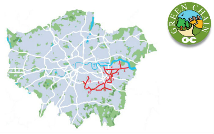


Green Chain Walk – Thamesmead to Lesnes Abbey

A nice sunny winters day today, so I’m off on the first leg of my next waymarked walk.

This walk starts on the River Thames path at Thamesmead, which is not terribly well served by public transport. Abbey Wood is the nearest railway station:

This station is being rebuilt as a Crossrail terminus, and the nearest bus stop is currently quite a long walk from the station with fences everywhere!

The bus then terminated short of my destination, so I walked the rest of the way to the Thames.


The Green Chain Walk itself starts a bit further down.

The path wiggles through Thamesmead, with some surprisingly nice open spaces and waterways.


An underpass leads beneath Western Way, a busy main road.

Then into Southmere Park, with a nice lake.


and an interesting picnic table:

This is the North Kent railway line, with a new Crossrail train parked in the background:

The route leads into Lesnes Abbey Park, with the ruins of a 12th Century Cistercian Abbey.


It’s then back along the streets to Abbey Wood station, and the train(s) home.

Only 4 miles of walking today!

For more information on the 50 mile Green Chain Walk, see https://tfl.gov.uk/modes/walking/green-chain-walk and http://www.greenchain.com/


Gloucester to Quedgeley

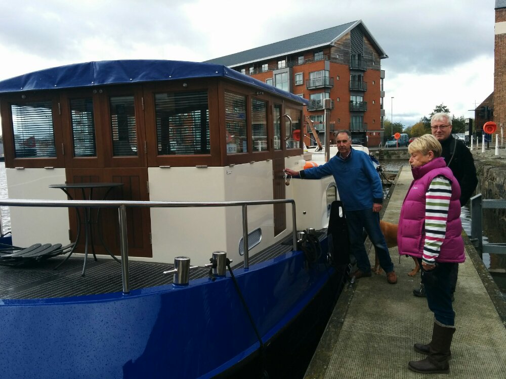
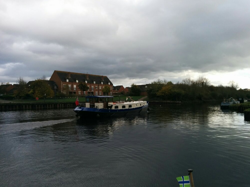
A nicer day today, so we walked into Gloucester via Hempstead and met our friends with the Dutch Barge.

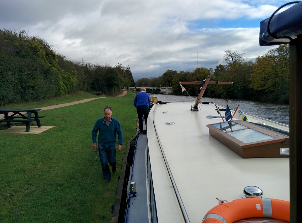
After lunch, complete a few pints of Cascade (my current favourite Gloucester Brewery beer), we set off down the canal.

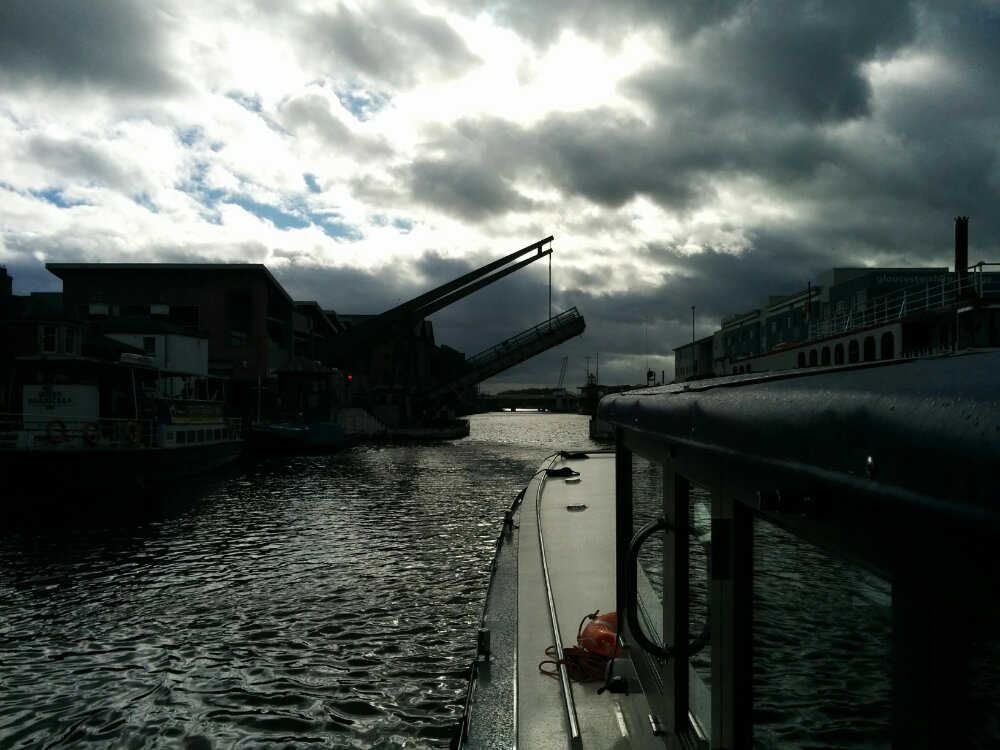
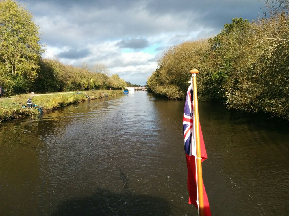
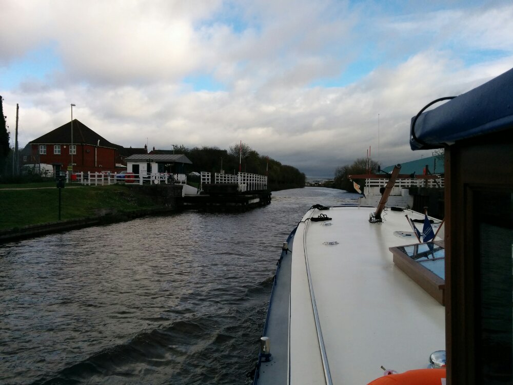
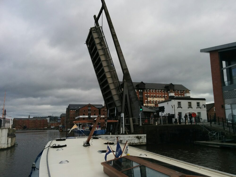
Again, nice to have the bridges opened for us. I then took the boat through the next few bridges – even though the boat was wider than I’m used to, the gaps are wider still, so my slight meandering wasn’t a problem!

We got dropped off at Sellars Bridge, conveniently by the next pub downstream…

Time for a few more beers and the walk back home.

Haresfield Beacon

Rather windy this morning (thanks to Storm Brian), and flood warnings were in place for the River Severn, so we headed up the hill for a walk (mostly) in the woods.

A lovely spot for a walk, and as a bonus, we got back in the dry.

Gloucester and Sharpness Canal

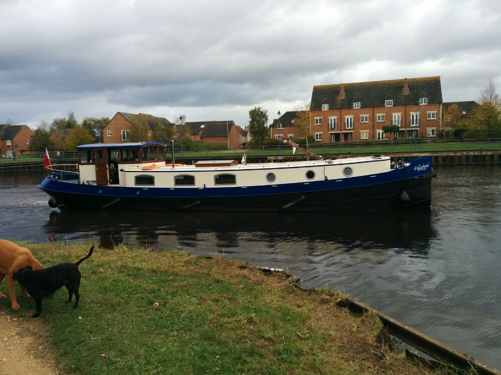
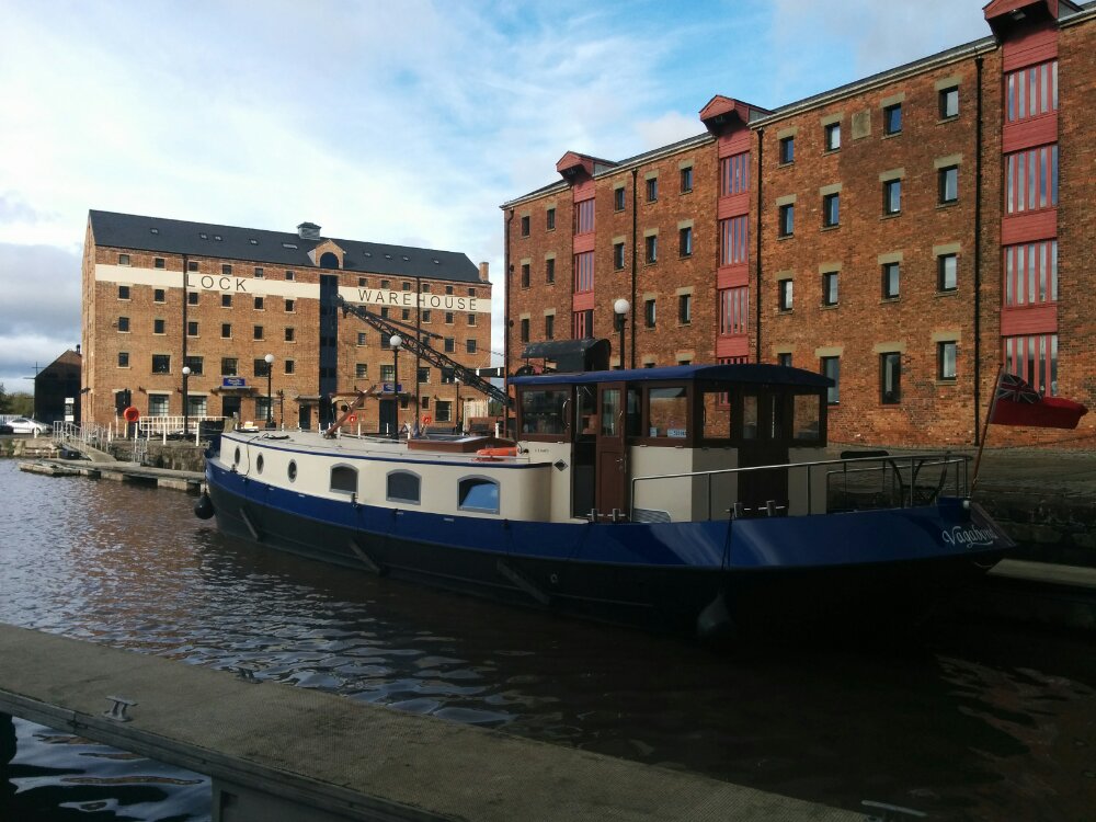
We met up with friends who had moored their Dutch Barge near Quedgeley, and had a boat trip up the canal to Gloucester Docks.

It was nice having the swing bridges opened for us as we approached them.

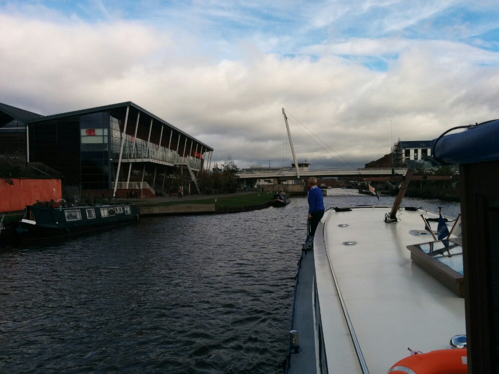
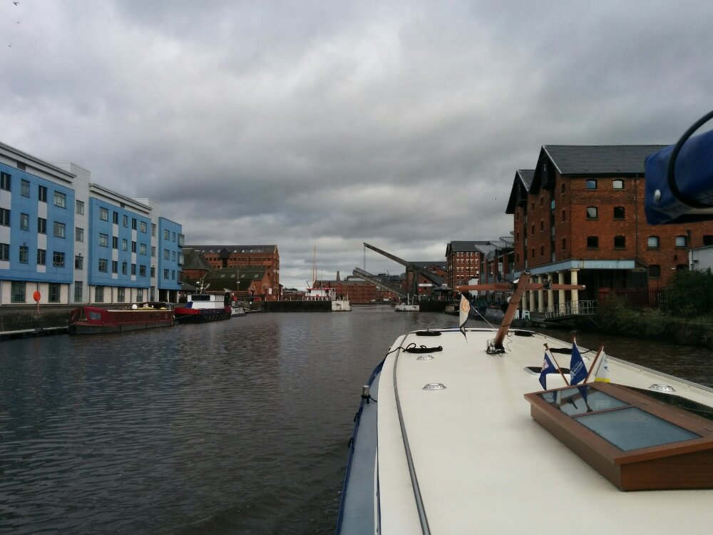
All too soon, we were approaching Gloucester Docks.

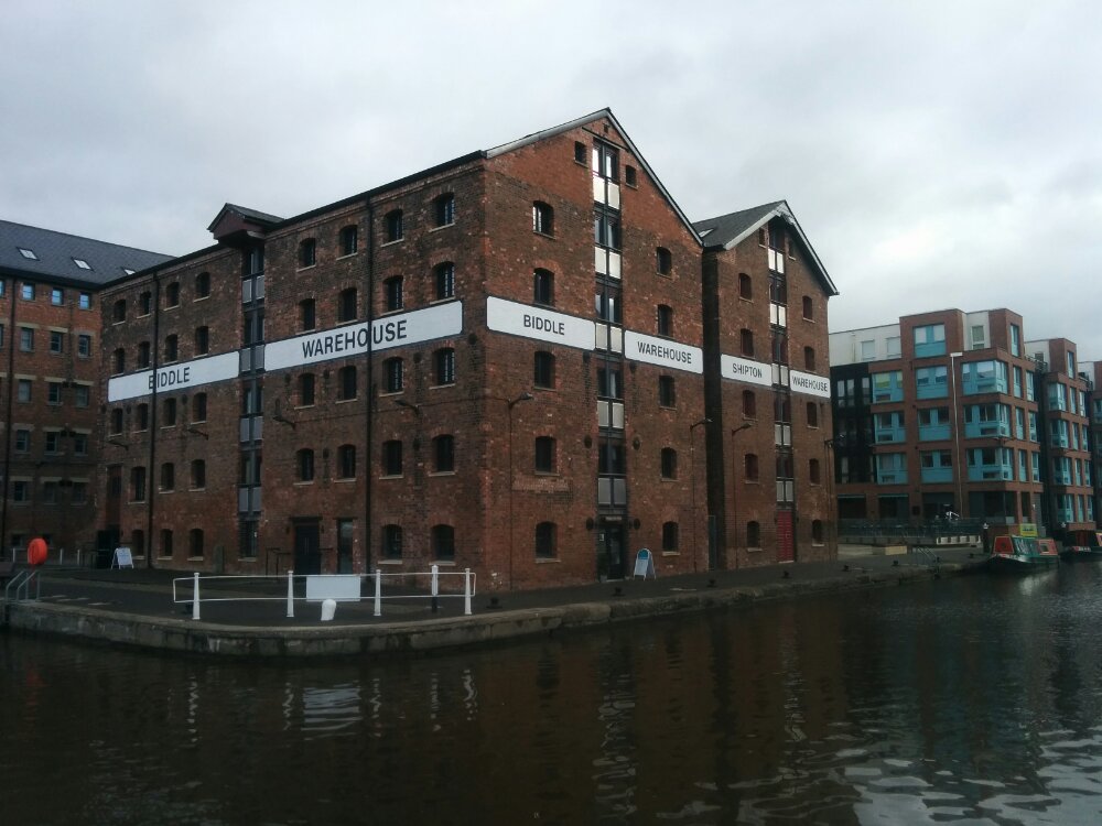
Nice to see a familiar area from the water.

Then time for a few beers and lunch in the pub!

Dublin to Orpington

We had an interesting evening in Dublin last night. We hadn’t realised that Ireland were playing football in the Stadium not far from our hotel, and every pub was packed with supporters…

This was the stadium as viewed from our balcony:

But we found an Italian restaurant and had a good pizza!

We’re now on our ferry just about to sail.

Hopefully it will be a smooth journey back.

Dublin

We’re suffering in style in Dublin… We’re in a fairly posh hotel near the port, and seem to have ended up with a suite.

Complete with two televisions, fridge, coffee maker etc.

Plus a balcony on three sides, with about 10 outdoor chairs.

We can even see some mountains in the distance.

East Coast

We’re heading south towards Dublin today, and rather than taking the motorway, we’re exploring the coast.

Despite being October, there was virtually no wind (or people) on the beach – lovely!


Further south was Clogherhead, a small fishing port where the fish for an earlier evening meal had been landed.

We watched some seals on the rocks just by the harbour entrance.

Next stop was Ardgillan Castle and Gardens, overlooking the sea.

Then Skerries Mills, which has a water mill, two different windmills and a bakery on one site.

Skerries also has a harbour, with various small islands offshore. And a couple of Martello towers.

Then on to Dublin…

Mountains of Mourne

It was predicted to be a nice day today, so we headed across the border into Northern Ireland to visit the Mountains of Mourne.

First stop was Greenore, where we caught a ferry across Carlingford Lough (and the border!).

Then to Silent Valley Mountain Park, based around a large reservoir built to serve Belfast.

Nice trails through the forest!

We then followed the coast road to Bloody Bridge, an interesting area where a river flowed into the sea.

After some housekeeping in Castlewellan, we climbed back up the mountains to Spelga Reservoir.

Then back down through the Spelga Pass to Killowen.

All too soon, it was time to head back to the ferry.

We were at the front, so pretended the car was sailing across the Lough… The SatNav was a bit confused though, not finding any roads nearby!

Then back to a pub in Ireland for supper.