It’s been a while since I’ve traveled on this line; a quiet and empty carriage, a fare less than the cost of the petrol, why drive?
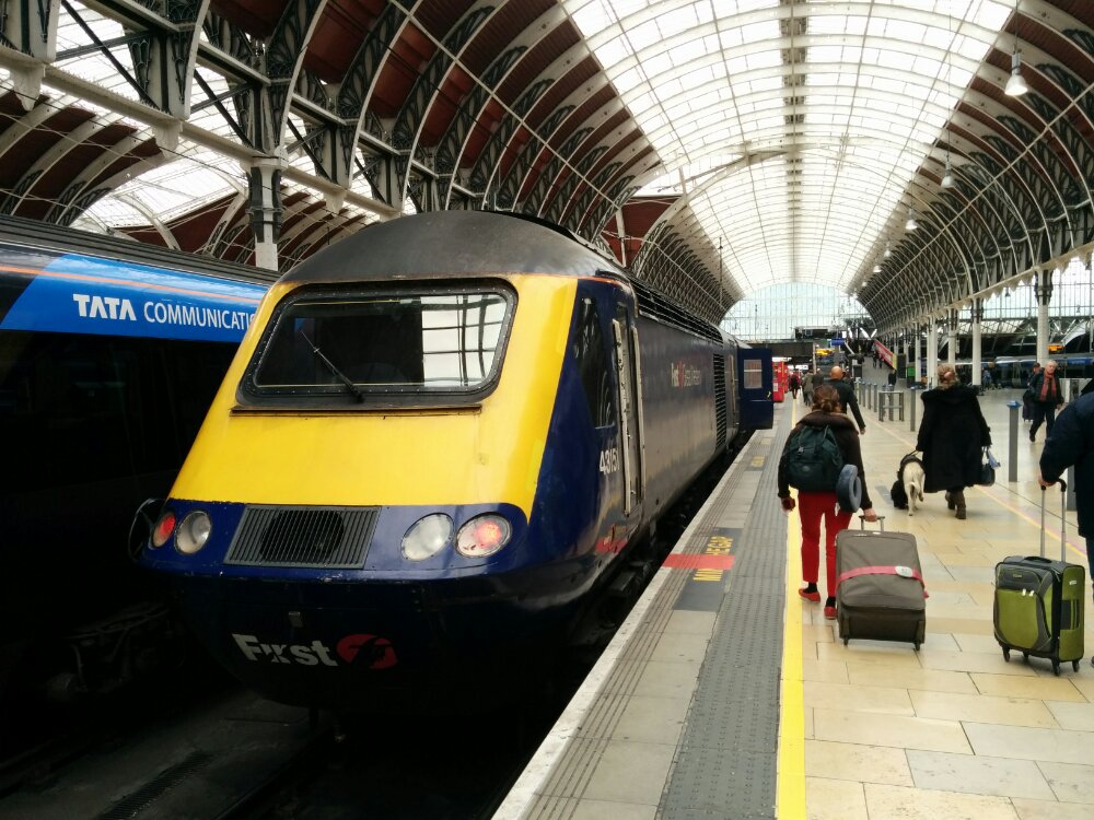
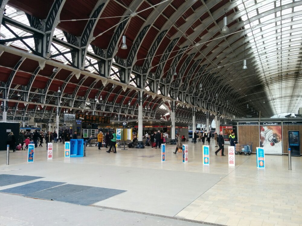
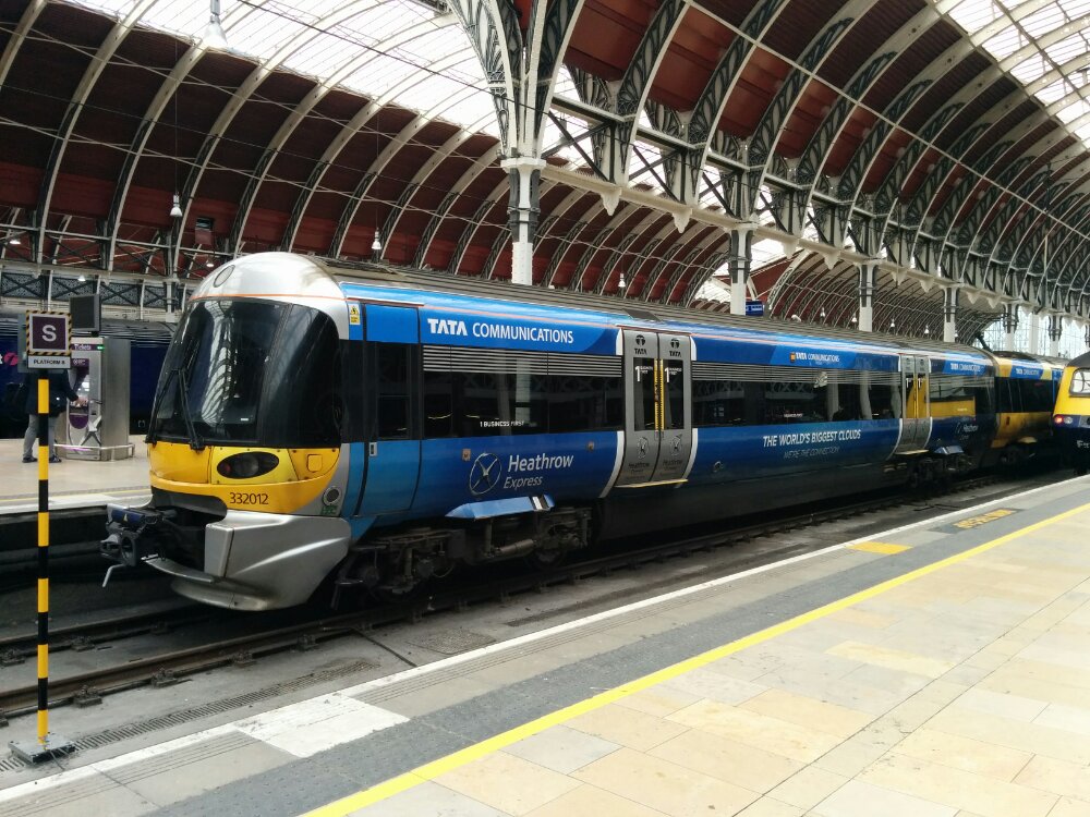
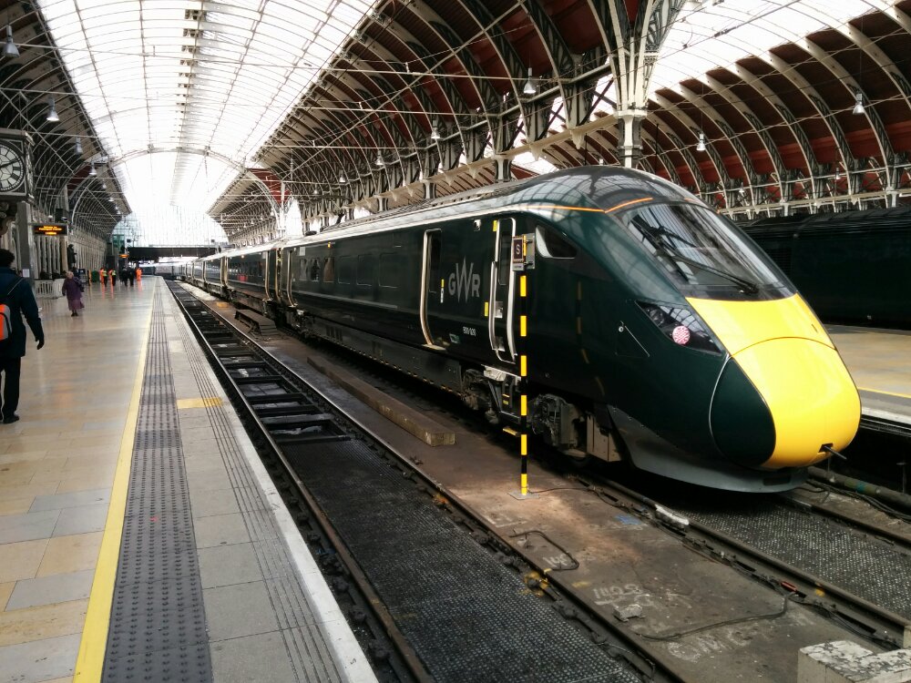
And free wi-fi that works…
It’s been a while since I’ve traveled on this line; a quiet and empty carriage, a fare less than the cost of the petrol, why drive?
And free wi-fi that works…
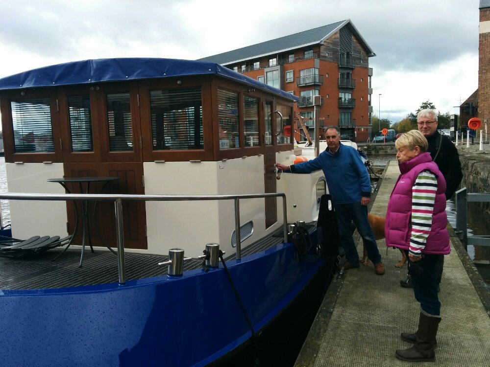
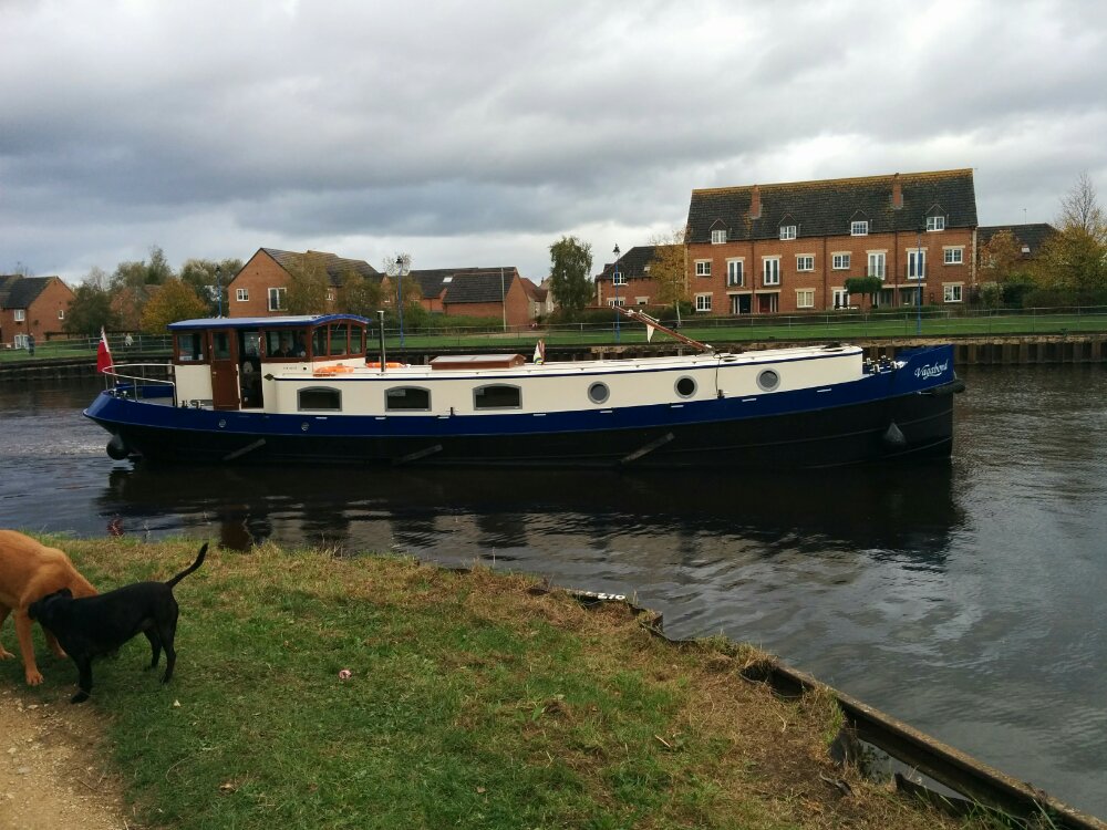
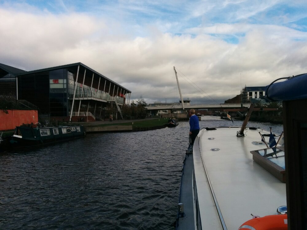
A nicer day today, so we walked into Gloucester via Hempstead and met our friends with the Dutch Barge.
After lunch, complete a few pints of Cascade (my current favourite Gloucester Brewery beer), we set off down the canal.
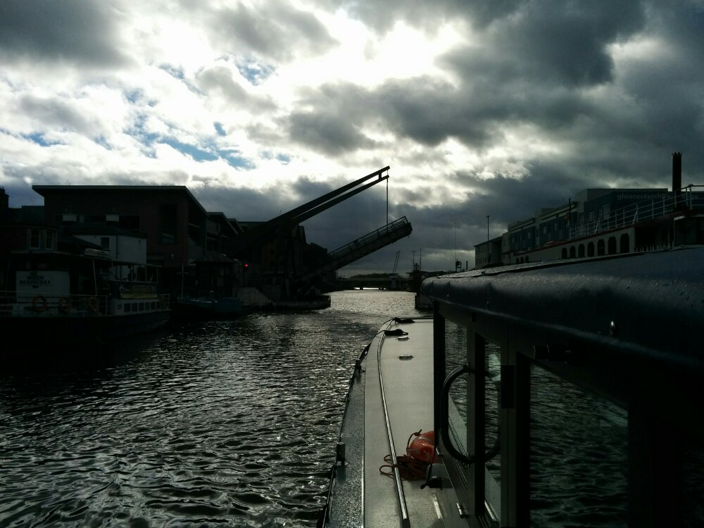
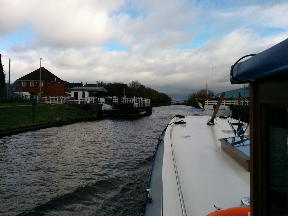
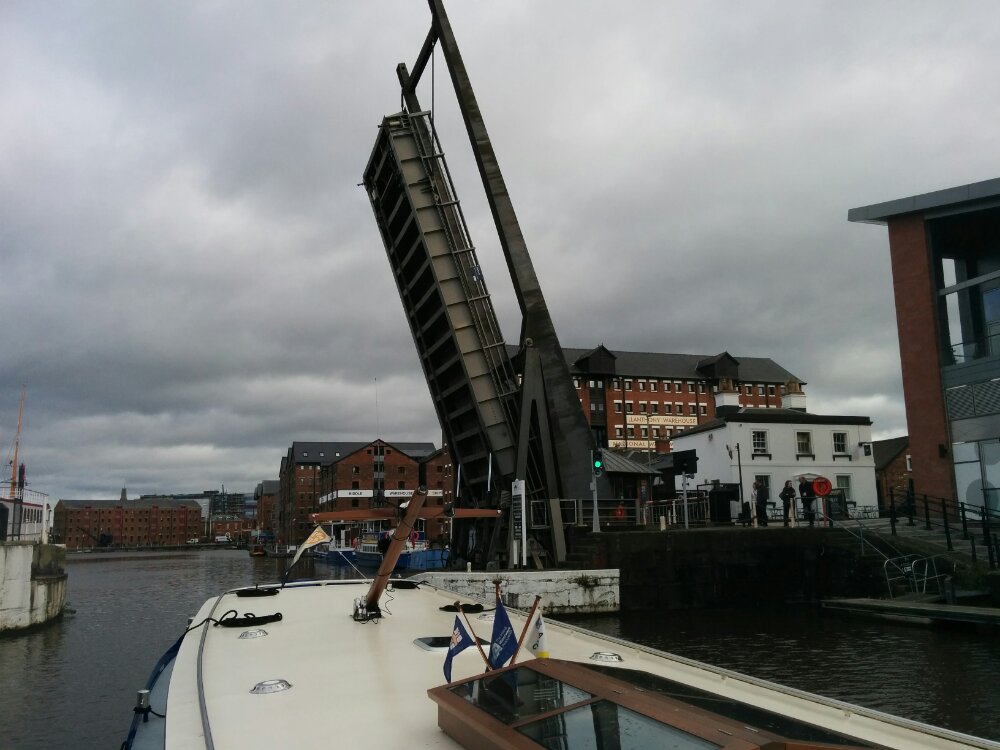
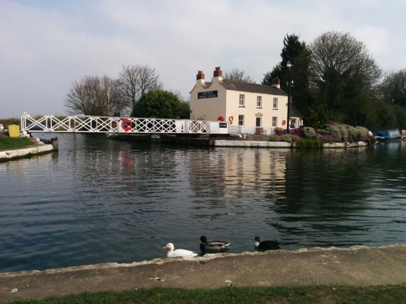
Again, nice to have the bridges opened for us. I then took the boat through the next few bridges – even though the boat was wider than I’m used to, the gaps are wider still, so my slight meandering wasn’t a problem!
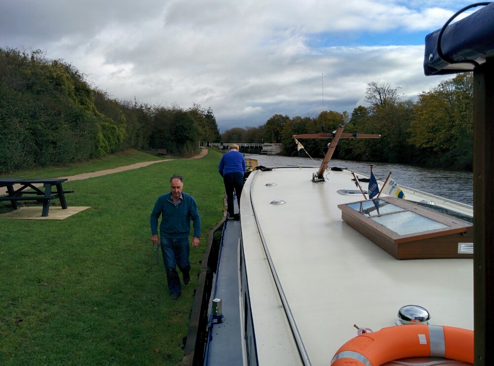
We got dropped off at Sellars Bridge, conveniently by the next pub downstream…
Time for a few more beers and the walk back home.
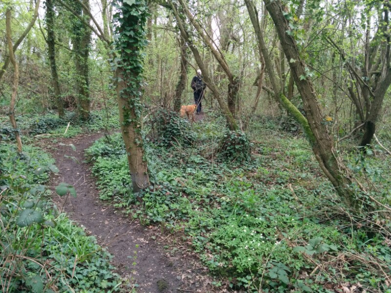
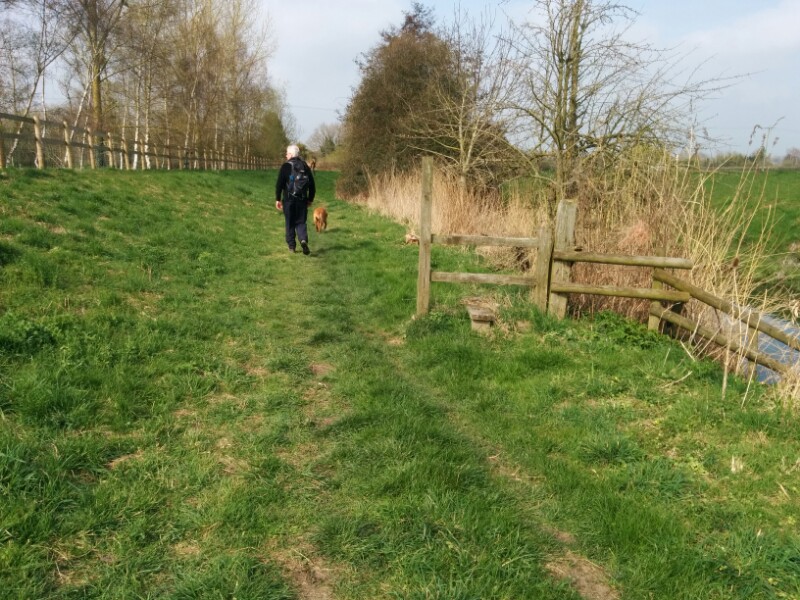
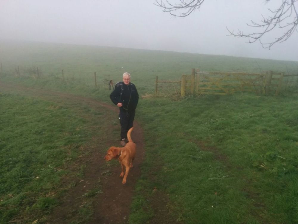
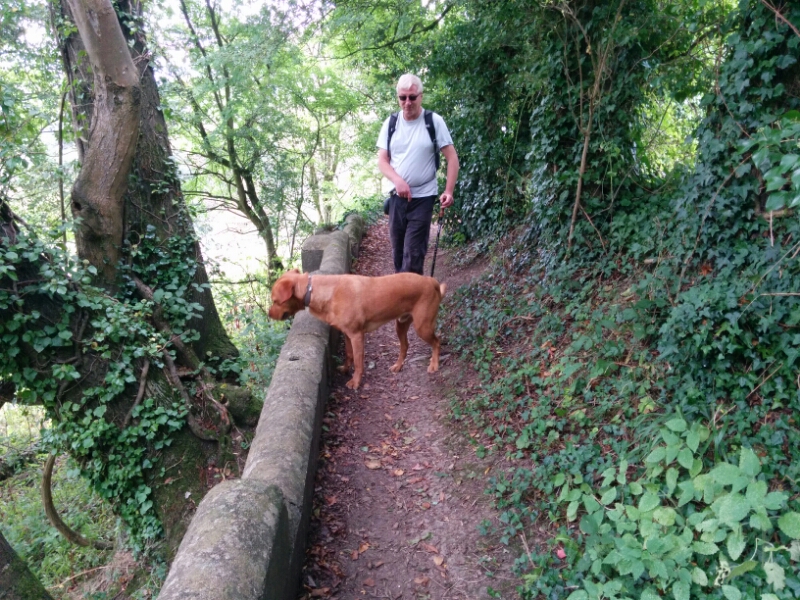
Rather windy this morning (thanks to Storm Brian), and flood warnings were in place for the River Severn, so we headed up the hill for a walk (mostly) in the woods.


A lovely spot for a walk, and as a bonus, we got back in the dry.
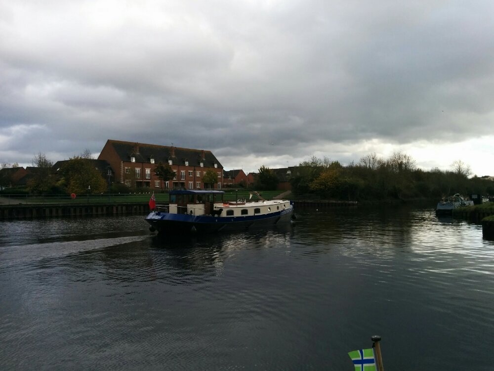
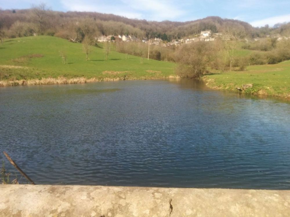
We met up with friends who had moored their Dutch Barge near Quedgeley, and had a boat trip up the canal to Gloucester Docks.
It was nice having the swing bridges opened for us as we approached them.
All too soon, we were approaching Gloucester Docks.
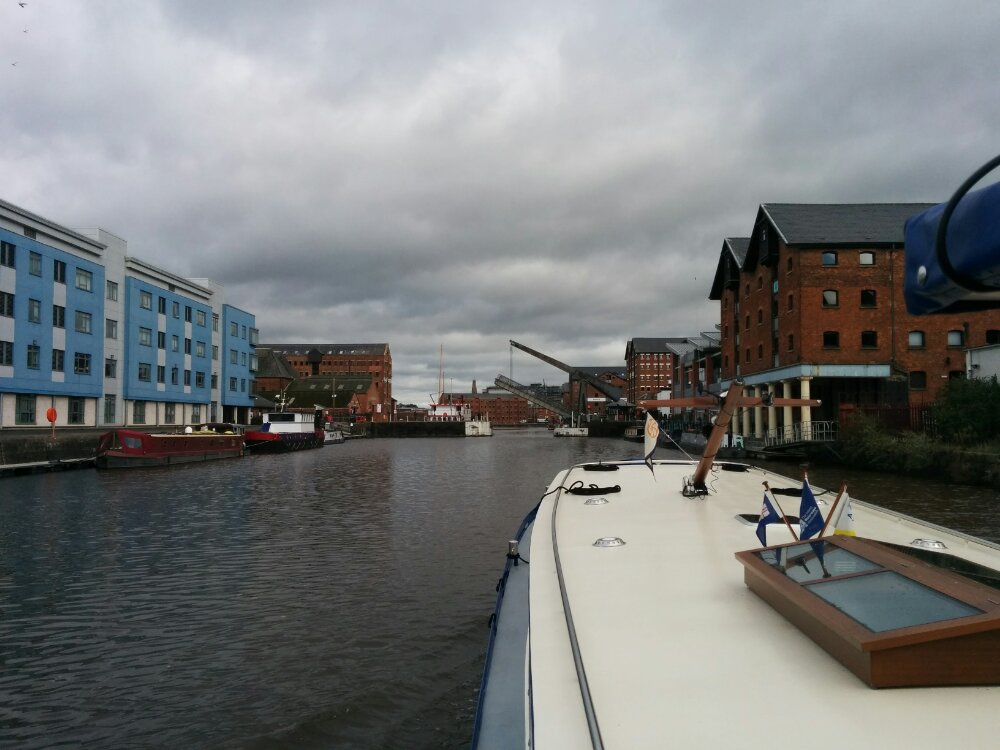
Nice to see a familiar area from the water.
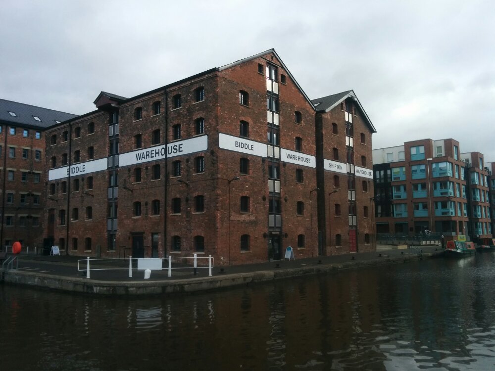
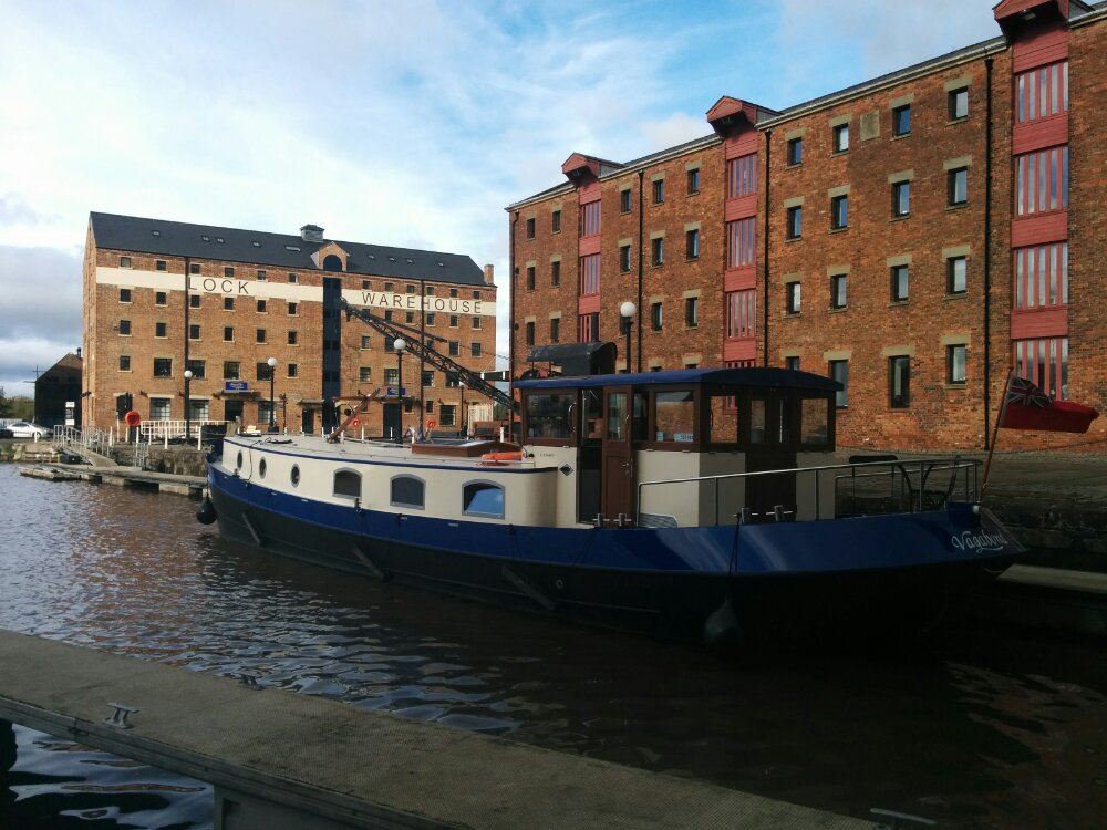
Then time for a few beers and lunch in the pub!
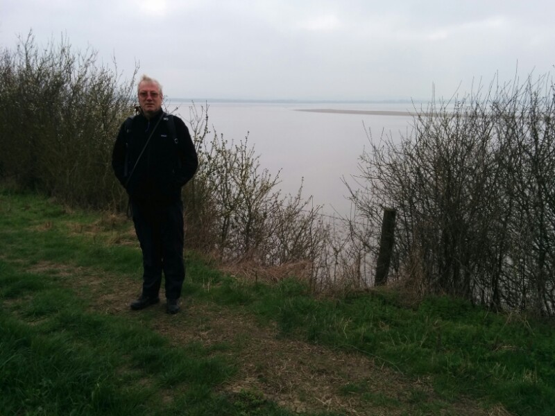
Today’s walk was around a large loop in the River Severn near Arlingham. It was a bit overcast to start with, but a good path along the river. We kept pace with a log floating down the river on the tide for ages!
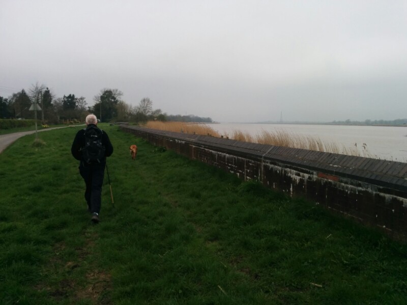
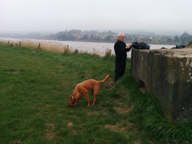
An old pill box provided a good place to pause. In the background (on the other side of the river) is Newnham, near the Forest of Dean.
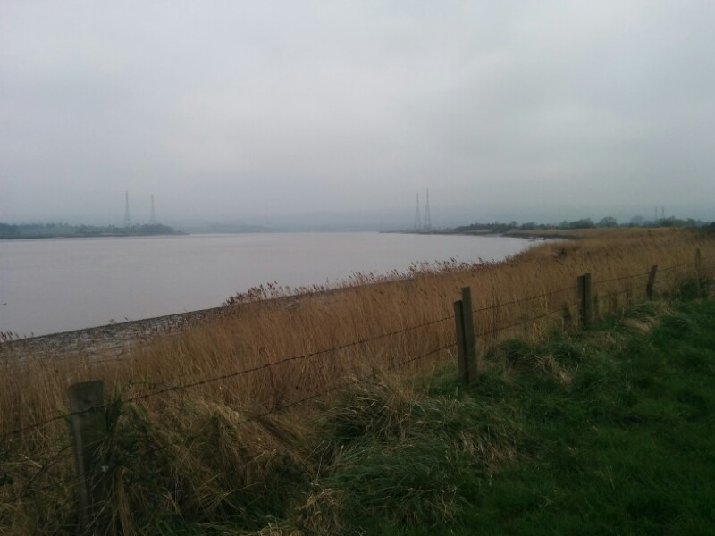
Further on, tall pylons take electricity across the river:
Finally, we reached a small patch of woodland above a cliff which provided a sheltered spot for lunch:
And the river starts to open out:
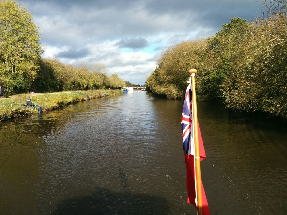
We then left the river to the Gloucester and Sharpness canal near Saul.
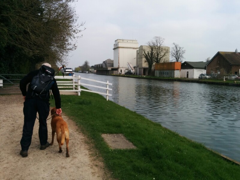
And followed the towpath to Saul Junction; very picturesque!
From here, we followed the disused Stroudwater Canal back to the car:
11 miles, but no geocaches today.
Another nice sunny day today, but we’ve some tree felling to do this afternoon, so had a shorter walk this morning around this Country Park. Lots of other dogs, which pleased Toby, and quite a few new geocaches to keep us involved.
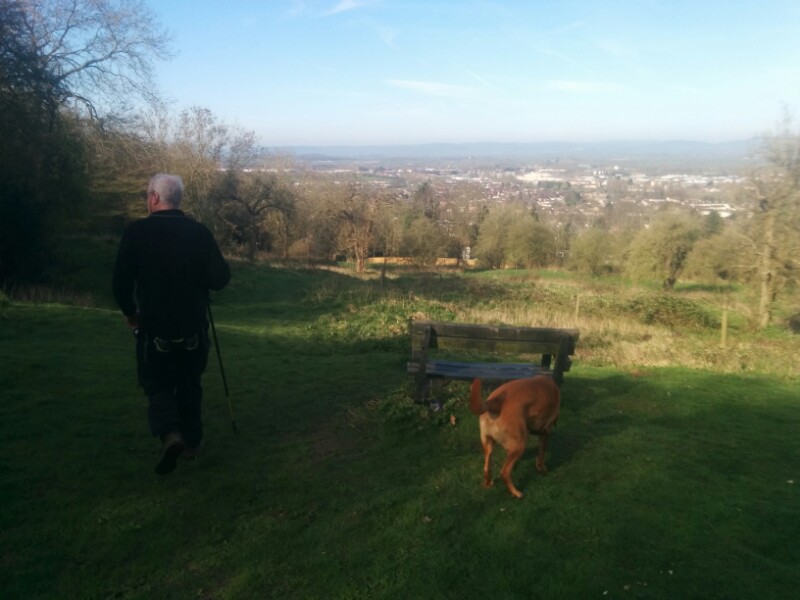

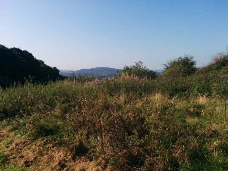
Many views of Gloucester and Cheltenham from the tops.
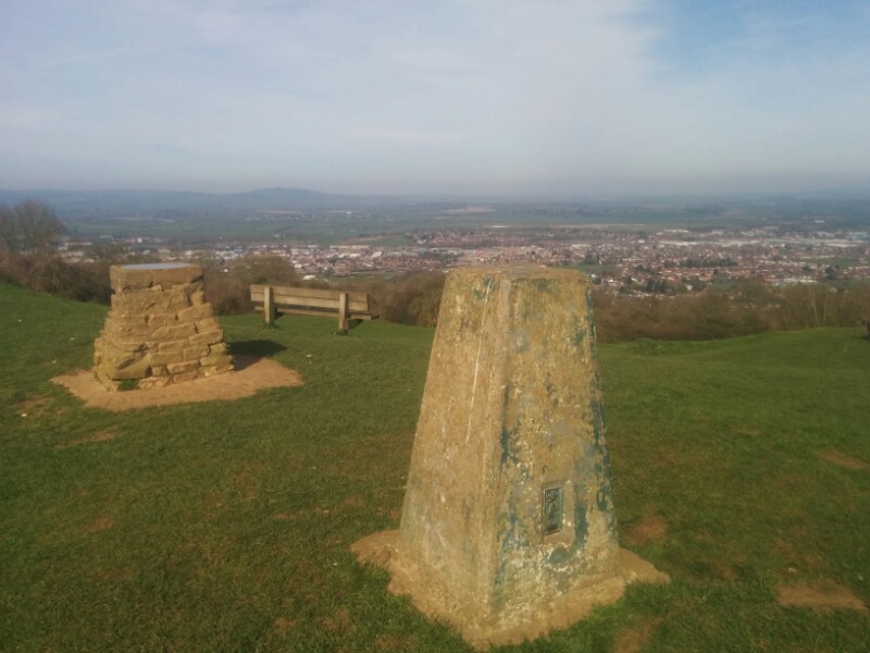

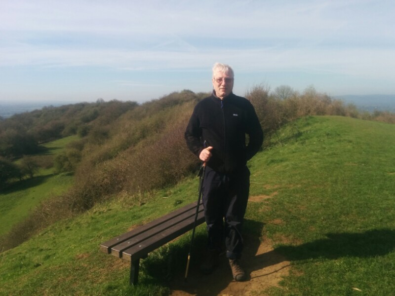
A mere 5 miles and 1100ft climbed. And 8 geocaches…
A lovely sunny day today, with less cold wind than yesterday, so we were off bright and early on our walk.
We started at Haresfield Beacon, a familiar landmark. Unfortunately there was still a bit of low cloud on the tops, but this soon cleared.
We then followed the Cotswold Way through the woods around Haresfield Hill to Rudge Hill Common for our first break:
Toby enjoyed searching for sheep droppings…
After a few more geocaches, we followed a lovely path through Pitchcombe Wood.
Then through the fields to Whiteshill
We stopped at the village pub for a quick beer (3 gravity fed real ales to choose from), then found a bench in the village recreation ground to eat our sandwiches. Then headed on towards Randwick.
Now it was time for the hard work climbing back up the hills, though we did pause to get some more geocaches on route.
10 miles today, and just over 2200ft climbed!
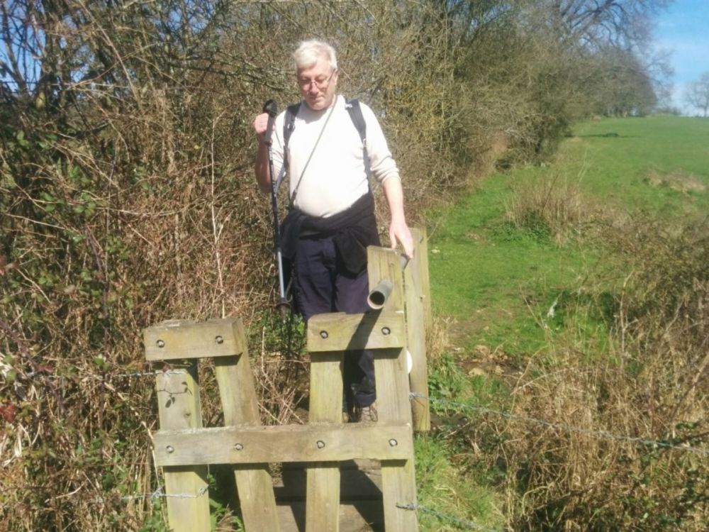
It was a nice day today (though with an occasional blast of cold wind), so Steve and I took Toby for a long walk.
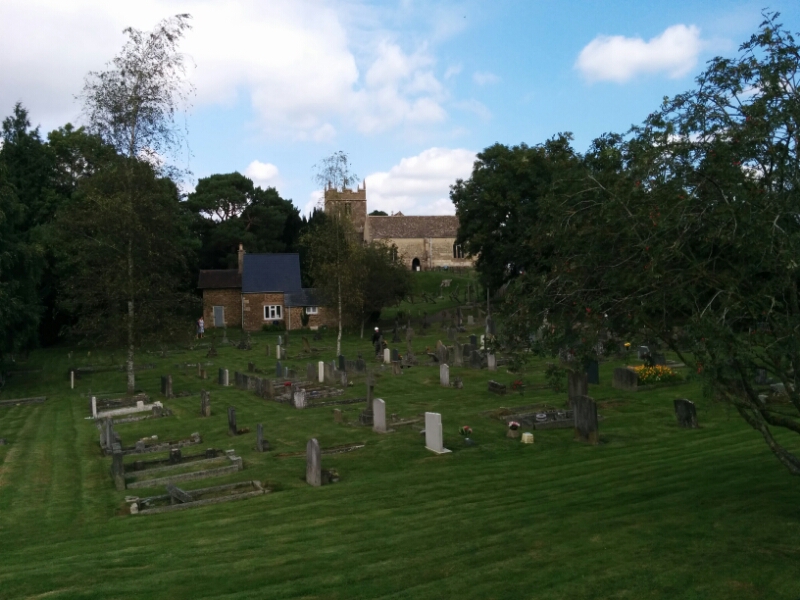
We followed the River Severn for several miles, then headed up the hill to the tiny village of Farley’s End, which has a really nice church.
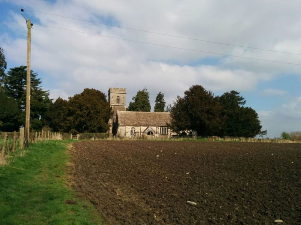
There was a geocache hidden just outside the church grounds. We then followed various paths down to the Gloucester and Sharpness Canal, then along the towpath to another geocache, this one hidden in the metal railings along the canal edge.
There was also a third geocache a bit further along the canal, which was soon found once we realised that the coordinates were not very accurate (in fact, 50m adrift).
Then after a stop to eat our sandwiches, we headed along the canal to the pub for a well deserved beer. 11 miles today.
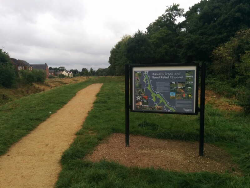
Kingsway is a large housing estate that is being built near Quedgeley. Like most new estates, the whole place is a maze of roads and paths, and none of the maps keep up to date with the building.
But, there were a few geocaches there, and some proper footpaths the other side of the estate, so off we set in the drizzle.
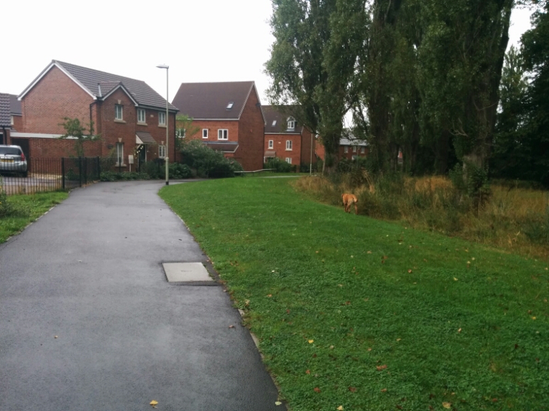
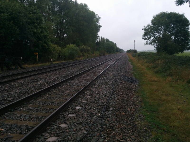
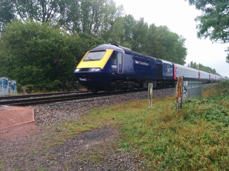
The railway line forms the estate boundary at the other side, and is very busy at the moment due to line closures elsewhere.
Then off across the fields
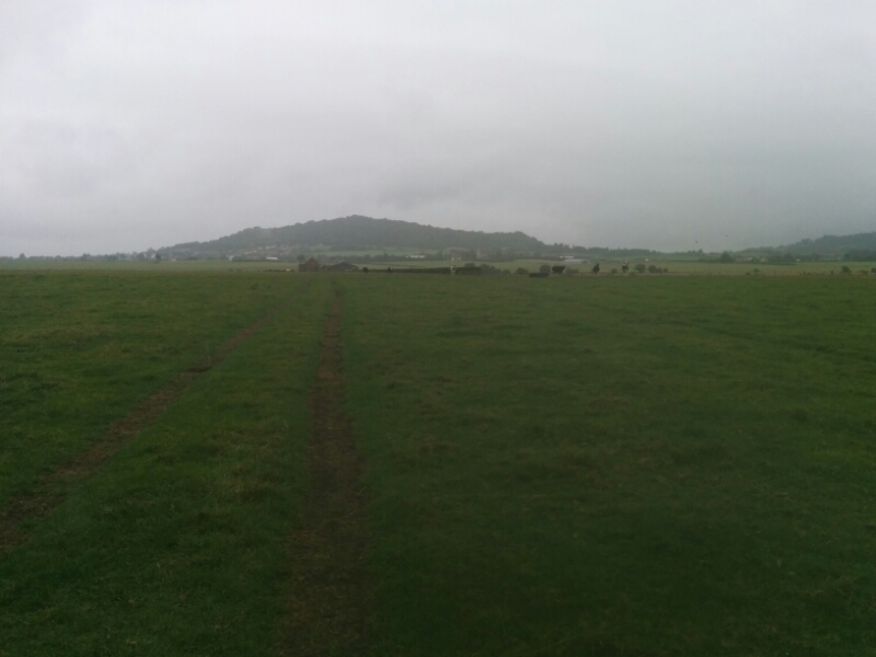
Unfortunately, there were a lot of very lively cows in the fields, and very poor or non existent stiles, so we gave up and replanned our route using more urban paths. Which of course meant crossing the railway again.
A couple of geocaches in Kingsway had a ‘dino’ theme:
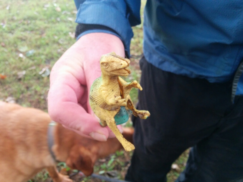
With the log book hidden inside.
Some paths were really nice
But most of the way back was through industrial estates and busy roads!
8.5 miles and 9 geocaches today.
Another dry day, so we explored a nearby hill that Steve hadn’t been to. It’s only a mile or two across, but covered in footpaths, and as we were to find out, some very steep bits.
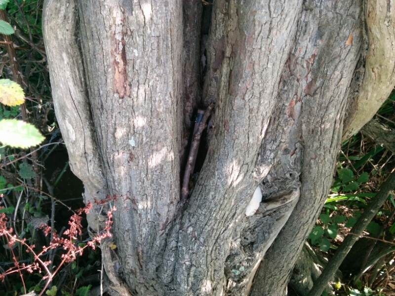
On the way up, we found some more geocaches, with this otherwise unremarkable one being my 1000th find:
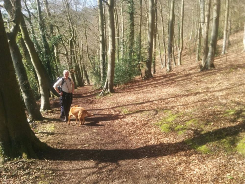
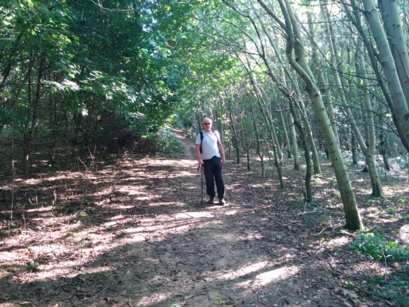
The paths went through fields at the bottom, with woodland higher up.
This was described as a well, but looked more like a trough at the bottom of a stream.
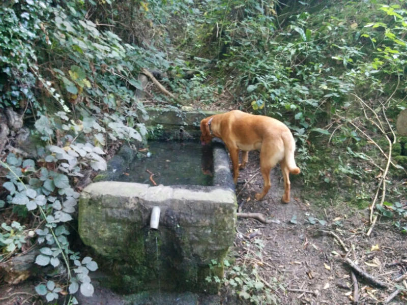
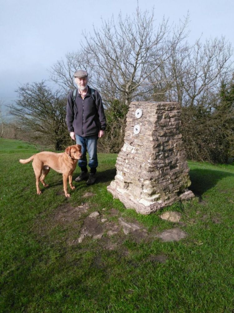
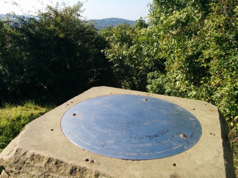
Toby enjoyed it though. There was a topograph at the top, but trees has grown up around it, making it difficult to see the places!
We dropped down to find a few more caches, walking round to the other side of the hill in the process.
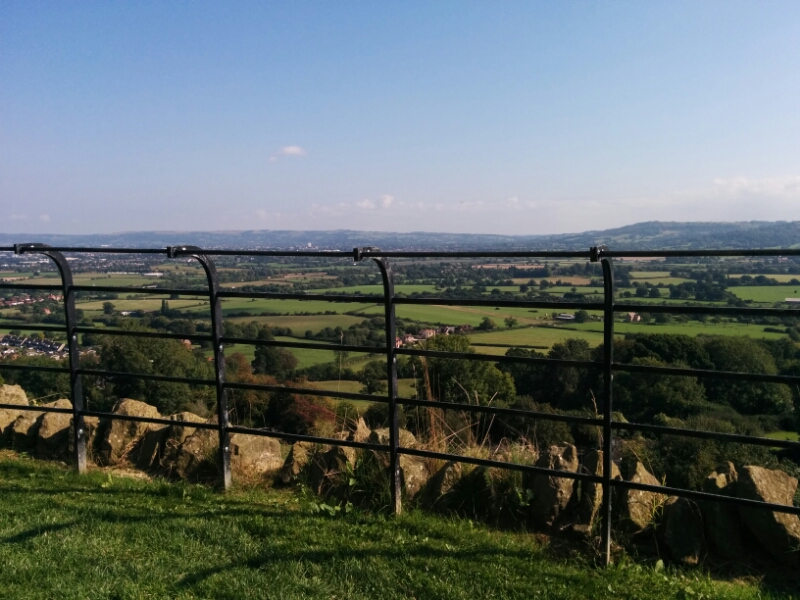
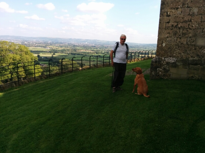
Climbing up again, there is a church on the top with good views of Cheltenham, Gloucester Airport and Cleeve Hill, where we were yesterday.
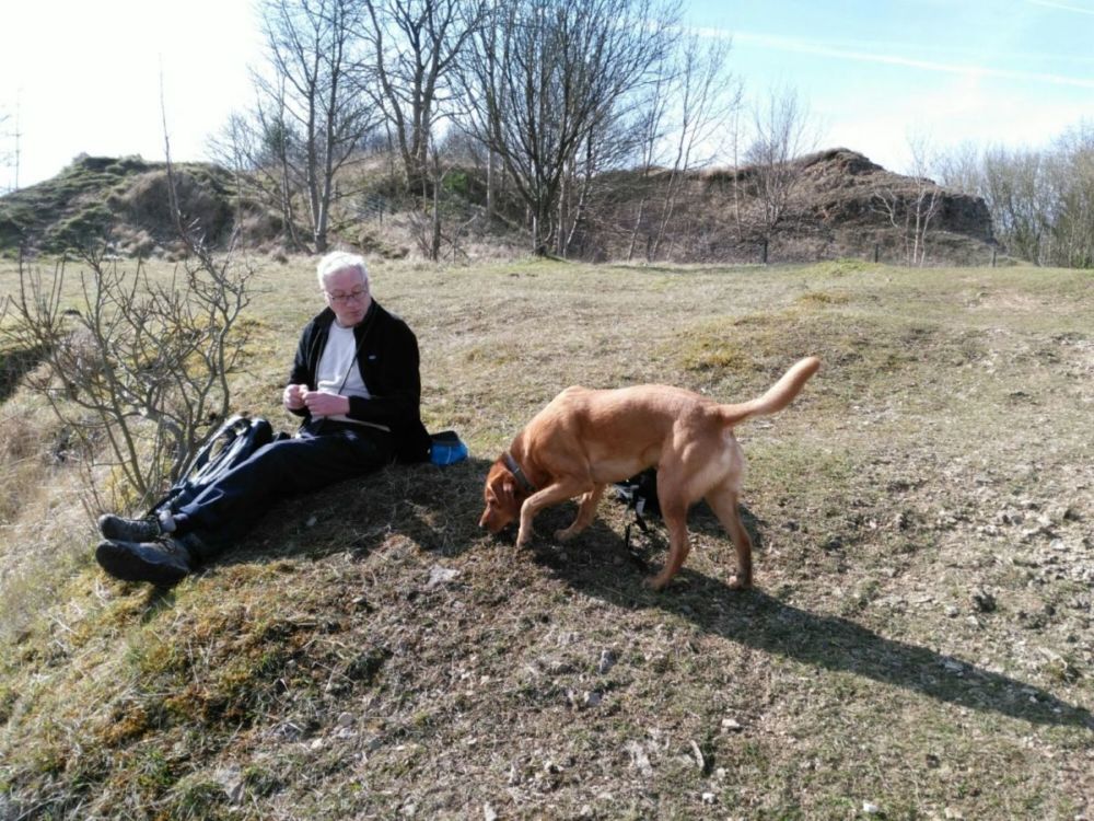
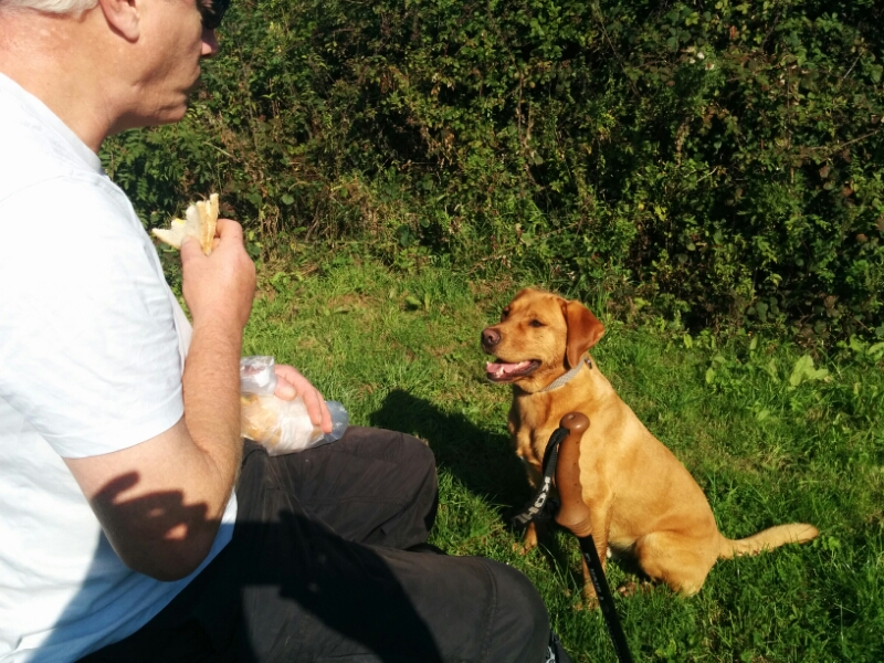
A good place to stop for lunch!
We then went back down the hill to the car, finding a few more caches on the way.
5.5 miles and 15 caches today.