London Loop Walk 16 – Elstree to Cockfosters

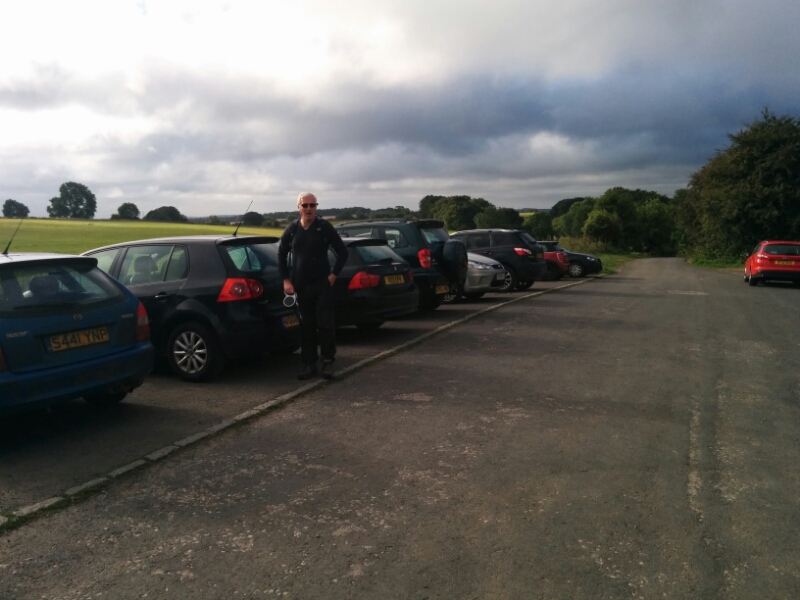
Another reasonable day weather wise, so it’s out with the Oyster card again and off to North London. Unfortunately, Thameslink was having problems, so it took rather a long time to get to Elstree & Borehamwood Station and start the walk.

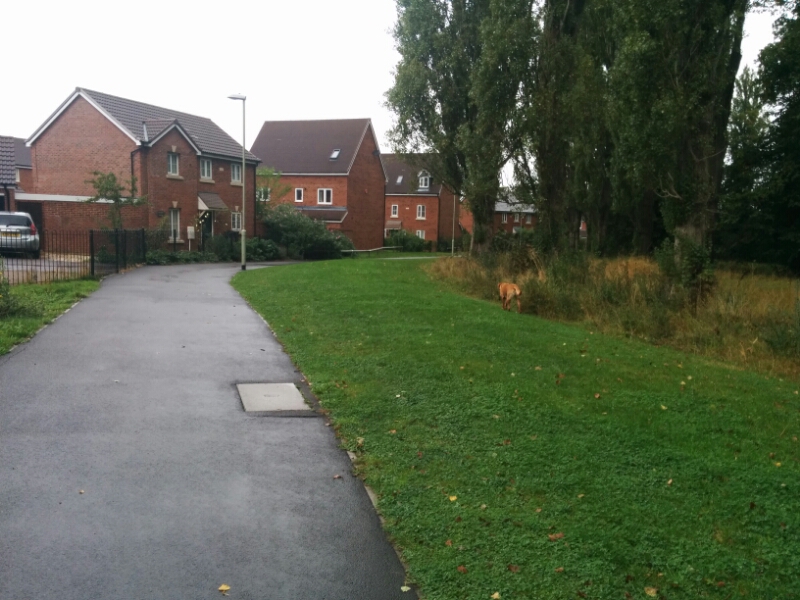
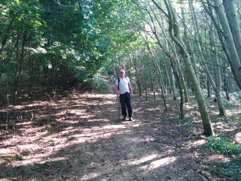
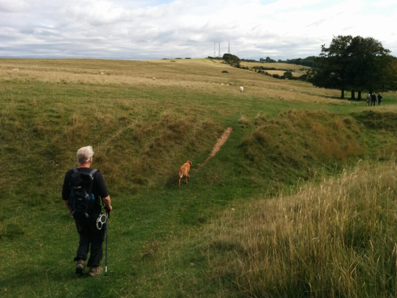
This section is noted for “a high proportion of road walking”, which is a shame as it also passes through some nice countryside. But first, 1½ miles of trudging along busy roads, though at least there was a pavement…

1609-468-london-loop-16-deacons-hill-road

1609-469-london-loop-16-barnet-lane

Then finally, into Scratchwood Nature Reserve. The name may seem familiar to older readers as the nearby services at the south end of the M1 used to be called “Scratchwood Services”. Now it’s the much less helpful “London Gateway Services”.

1609-471-london-loop-16-scratchwood-sign

1609-470-london-loop-16-scratchwood-path1609-472-london-loop-16-scratchwood-bridge

But all too soon, a ¾ mile detour was necessary to cross the A1 using a subway.

1609-475-london-loop-16-a1 1609-476-london-loop-16-a1-subway

The subway was fairly pleasant inside (as subways go!). Maybe it’s too far from anyone that (mis)uses it?

1609-477-london-loop-16-a1-subway

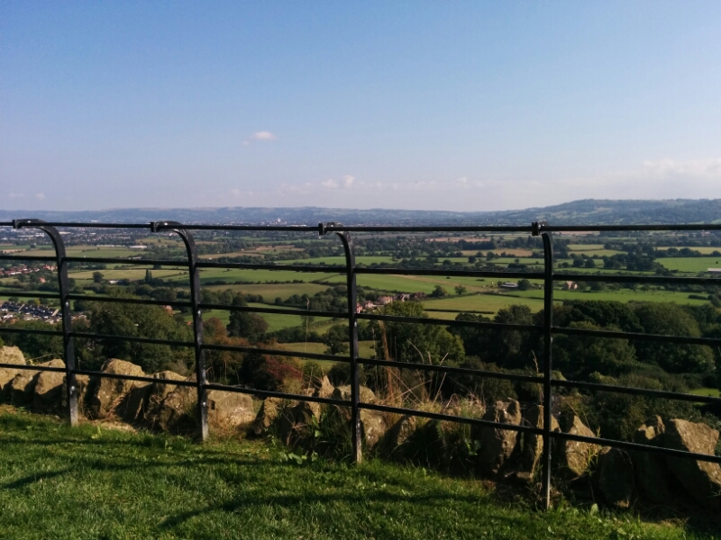
Then back up the other side to reach the rather nice Moat Mount Open Space.

1609-480-london-loop-16-moat-mount 1609-481-london-loop-16-moat-mount 1609-482-london-loop-16-moat-mount

1609-483-london-loop-16-dollis-valley 1609-485-london-loop-16-dollis-valley

Yet more road walking leads to Totteridge Fields:

1609-487-london-loop-16-totteridge-fields-sign1609-488-london-loop-16-totteridge-fields

The path then follows Dollis Brook into Barnet:1609-491-london-loop-16-dollis-valley-greenwalk 1609-493-london-loop-16-dollis-valley-greenwalk 1609-494-london-loop-16-dollis-valley-greenwalk-sign

You can just see the tube trains at High Barnet Underground Station (at the far end of the Northern Line) through the trees:

1609-498-london-loop-16-high-barnet-tube-station

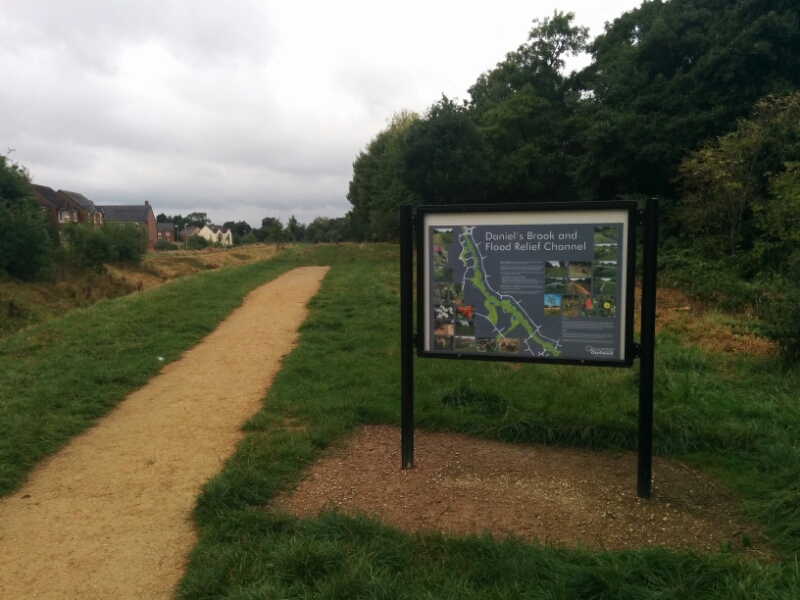
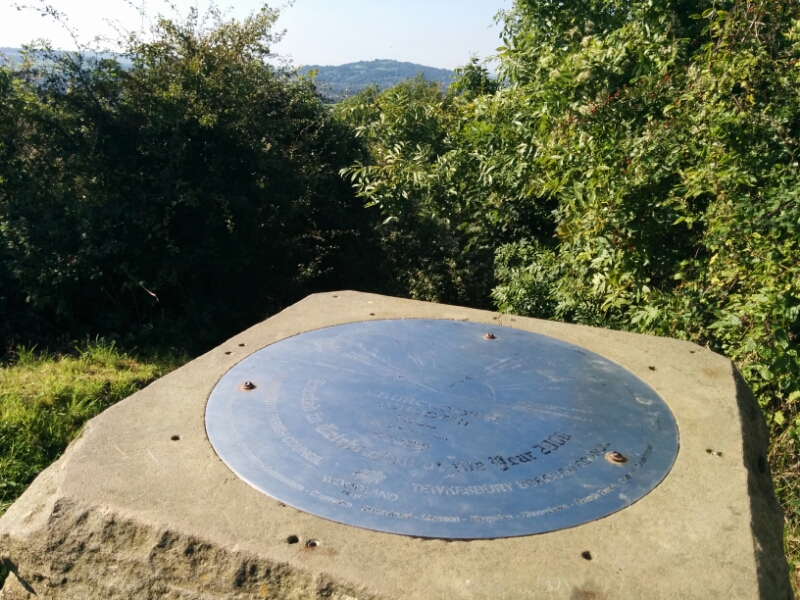
From here, a pleasant path leads to Hadley Green, with yet another London Loop information board:

1609-500-london-loop-16-hadley-green 1609-501-london-loop-16-hadley-green-sign 1609-502-london-loop-16-hadley-green

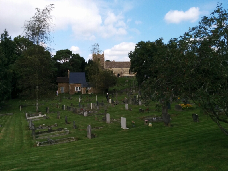
The route then goes through the pretty village of Monken Hadley:

1609-505-london-loop-16-monken-hadley

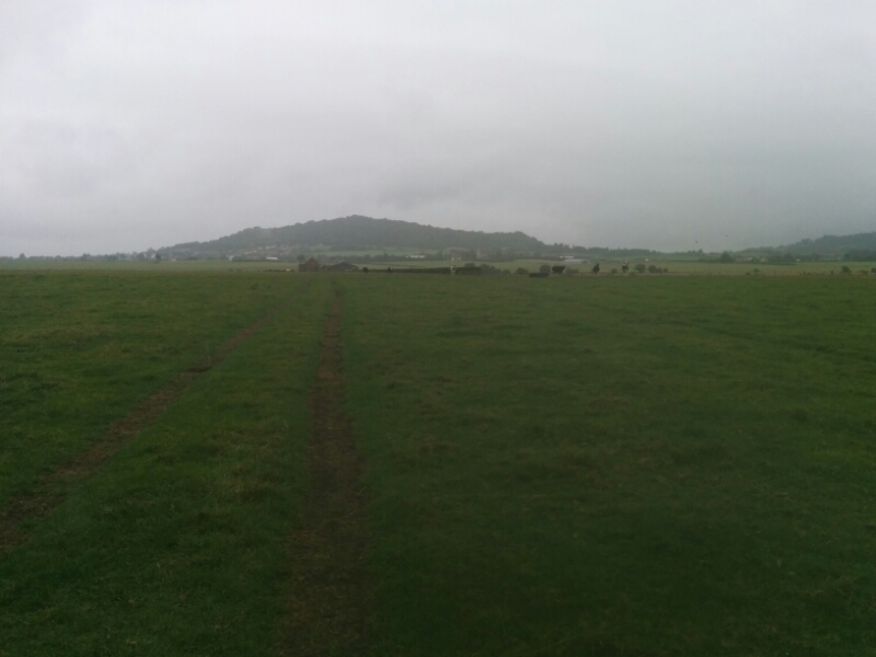
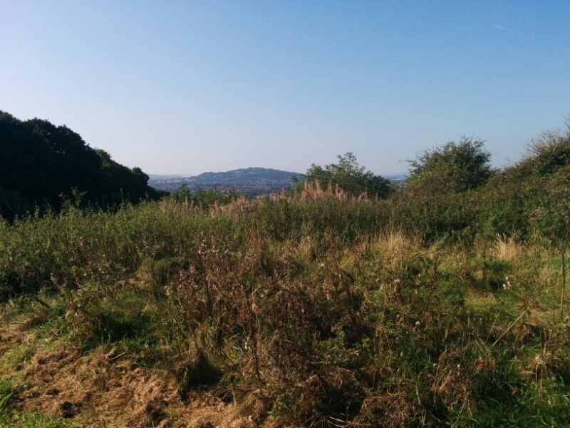
and across Monken Hadley Common:

1609-506-london-loop-16-monken-hadley-common

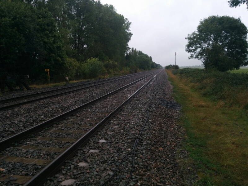
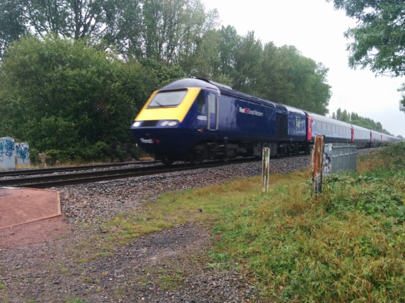
A bridalway crosses the East Coast Main Line:

1609-508-london-loop-16-east-coast-main-line-bridge 1609-510-london-loop-16-east-coast-main-line

and continues across the common:

1609-511-london-loop-16-monken-hadley-common 1609-512-london-loop-16-monken-hadley-common 1609-513-london-loop-16-monken-hadley-common

Then it’s back to suburbia for the walk to Cockfosters Underground Station, at the northern end of the Piccadilly Line.

1609-514-london-loop-16-cockfosters-suburbia

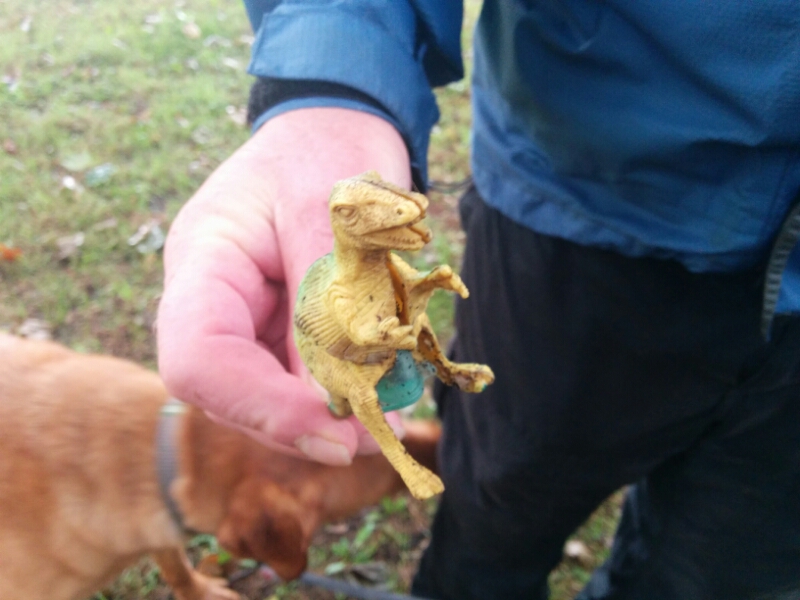
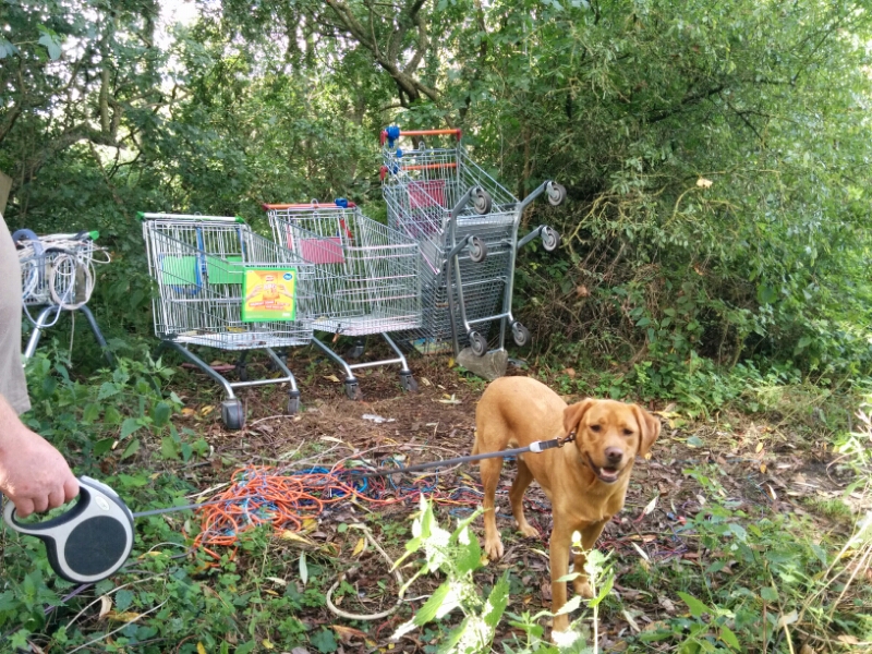
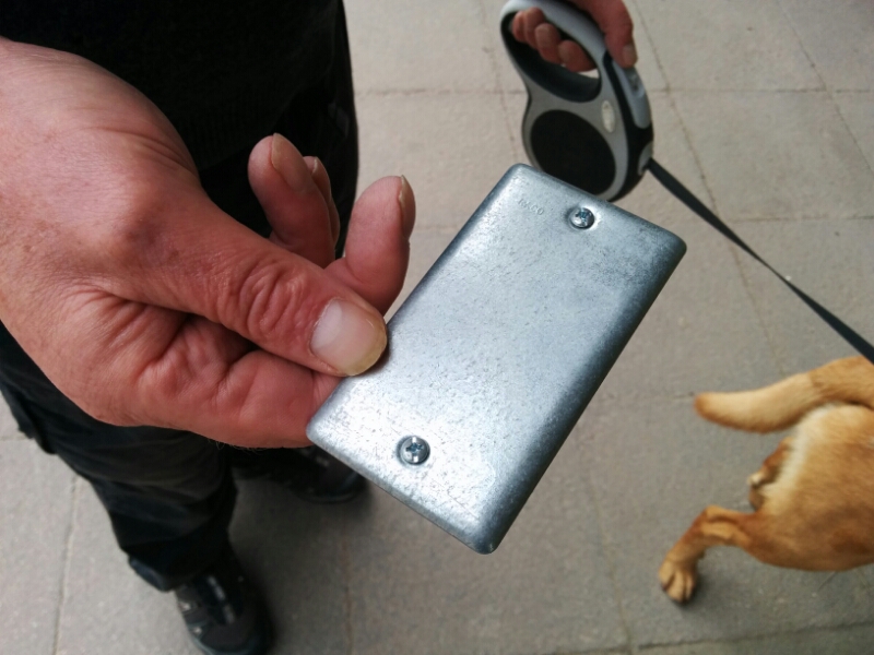
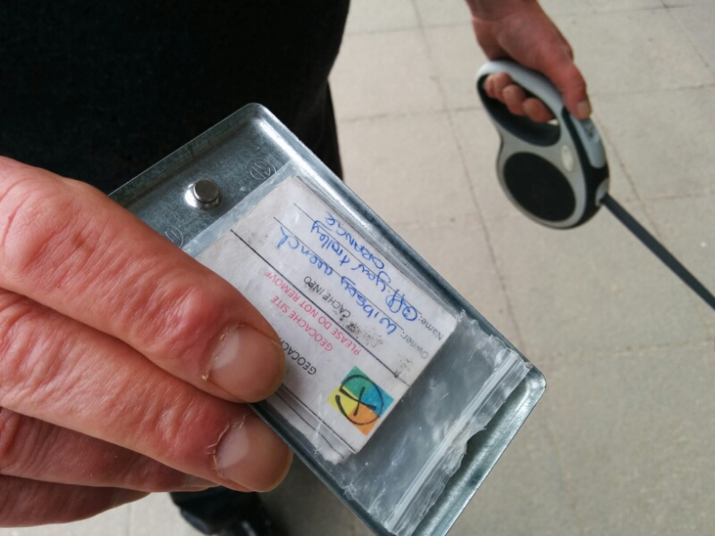
11.5 miles of London Loop walking today and 2 Geocaches found.

London Loop Walk 17 – Cockfosters to Enfield Lock

For more information on the London Loop, see https://en.wikipedia.org/wiki/London_Outer_Orbital_Path and https://tfl.gov.uk/modes/walking/loop-walk


Jack Petchey Award

image

Slightly bemused, but thrilled to be nominated, I went this evening to receive a Jack Petchey Award for being a thoroughly good egg. Quite a swish certificate! Now to apply for the grant to share with the Guides…

Kingsway

Kingsway is a large housing estate that is being built near Quedgeley. Like most new estates, the whole place is a maze of roads and paths, and none of the maps keep up to date with the building. 

But, there were a few geocaches there, and some proper footpaths the other side of the estate, so off we set in the drizzle. 

The railway line forms the estate boundary at the other side, and is very busy at the moment due to line closures elsewhere. 

Then off across the fields 

Unfortunately, there were a lot of very lively cows in the fields, and very poor or non existent stiles, so we gave up and replanned our route using more urban paths. Which of course meant crossing the railway again. 

A couple of geocaches in Kingsway had a ‘dino’ theme:

With the log book hidden inside.

Some paths were really nice 

But most of the way back was through industrial estates and busy roads! 

8.5 miles and 9 geocaches today. 

Churchdown Hill

Another dry day, so we explored a nearby hill that Steve hadn’t been to. It’s only a mile or two across, but covered in footpaths, and as we were to find out, some very steep bits. 

On the way up, we found some more geocaches, with this otherwise unremarkable one being my 1000th find:

The paths went through fields at the bottom, with woodland higher up.

 This was described as a well, but looked more like a trough at the bottom of a stream. 

Toby enjoyed it though. There was a topograph at the top, but trees has grown up around it, making it difficult to see the places! 

We dropped down to find a few more caches, walking round to the other side of the hill in the process. 

Climbing up again, there is a church on the top with good views of Cheltenham, Gloucester Airport and Cleeve Hill, where we were yesterday. 

A good place to stop for lunch! 

We then went back down the hill to the car, finding a few more caches on the way. 

5.5 miles and 15 caches today. 

Cleeve Hill

We made a return visit to Cleeve Hill today (we were last here in 2012) though started from a different car park and took a different route! 

Weather was a bit cooler, and quite windy on the tops.

After failing to find one geocache, we detoured to a second one, which turned out to be a long abandoned car deep in the woods. 

We also failed to find this geocache either…. 

Further on, we had a break by a ford, and Toby had fun splashing in the river. 

The path climbed back up to Cleeve Hill Common and Toby was overjoyed to have a small pool to splash in, complete with a friend to chase. 

Further up, there was a bench with a nice view, so we stopped for lunch. 

We managed to find our first geocache of the day in a nearby quarry. 

And a second one by the source of the River Isbourne

We then wove our way through the golf course to the main viewpoint, looking over Cheltenham and the surrounding villages. 

After finding a 3rd cache, we headed back to the car. 

7.6 miles today. 

Hempstead and Gloucester

A nice day today, though slightly cooler than recently, so off we go on a walk. 

This followed a path through Hempstead that has only reopened fairly recently, and now has a number of geocaches along it. 

This was a pause by Hempstead Church, waiting for a builder to get off the phone and move away so we could grab the cache. 

This is “Lady’s Well”, though I don’t know if this was a real well or just a folly. 

The path then goes around a large landfill site, and every gap seemed to have some rubbish that hadn’t quite made it to the dump. 

We then went into Gloucester Docks, and tried a new dog friendly pub with a Micro Brewery. 

Interesting beer as well. 

The view from outside:

On the way back along the canal, we eventually found a very clever magnetic geocache hidden under some metal steps:

Then back for a cup of tea, our progress briefly halted by an open canal bridge. 

London Loop Walk 14 & 15 – Moor Park to Elstree

I thought I’d make the most of the remaining summer to do more of my London Loop walk.
The journey from Finchley Road to Moor Park was a bit tedious; I don’t know if there was a problem with the track or train, but I don’t think we exceeded 30mph at any point on the journey!
Moor Park station has got to be one of the best stations to start a walk from though; the path through the woods starts 10 yards from the station entrance!

sandy-lodge-woods

The path then went across the first of many golf courses (now I know what North Londoners do all day…)

sandy-lodge-golf-course

Then crossed a main road, through Hampermill Wood and a short bit of suburbia, then into Oxhey Woods Nature Reserve.

oxhey-woods

oxhey-woods

Farmland (well, Horseland to be accurate) was reached after a while. You can just see the arch of Wembley Stadium on the horizon.

pinnerwood-area-wembley

The route then took a small detour to Pinnerwood House, which has a nice pond.

pinnerwood-house-pond

This is the end of Section 14.

Section 15

The next path had been very overgrown, but luckily a yellow coated team from Harrow Council were busy clearing it. Unfortunately, they’d not done the section further north, so I had the joy of pushing through what seemed like miles of stinging nettles.

hatch-end-path

The path then follows alongside the West Coast Main Line, and crosses it with a road bridge. Unfortunately, the fences and walls were all so high that I could only hear the trains, not see them!

carpenders-park-bridge

After a fruitless search for a geocache, I pressed on and found a bench in a children’s playground to have lunch.

carpenders-park-playground

The path then crossed a second golf course; the notice board ordered walkers to follow the white posts, of which none are actually visible from the board. I eventually found and followed them until they stopped, where there was no exit whatsoever. A golfer attempted to misdirect me onto a footpath in the opposite direction, then explained you had to go through the (unsignposted) maintenance yard and a bit of road to pick up the path. Hmm…

The next section followed the ancient “Grim’s Dyke” with some nice woodland:

grims-dyke-areagrims-dyke-area

and on to a car park with some fabulous views of North London.

harrow-weald-common-view

Walking through Harrow Weald Common was next.

harrow-weald-common

A long section of concrete footpath navigated its way around Bentley Priory.

bently-priory-nature-reserve

bently-priory-nature-reserve

This lead to Stanmore Little Common, which has some nice ponds:

stanmore-little-common-ponds

After so much nice walking, the route had to go downhill. Which indeed it did, leading to a bridge under the M1.

path-to-m1

bridge-under-m1

After this was probably the worst bit of the whole walk, following the fast and busy A411 for what seemed like ages to get to Aldenham Reservoir.

aldenham-reservoir

Then across a ploughed field and some nice meadows.

path-to-elstree

This was followed by a third golf course (a bit better signposted than some of the others), a small spinney and then into Elstree.

allum-lane

This soon led to Elstree and Borehamwood Station, where thanks to Thameslink, I managed to get home using just two trains and no Underground.

elstree-and-borehamwood-station

This was a varied walk, with very little of it through suburban streets. But there were a lot of busy roads to cross!

14.5 miles walking (but it seemed further), no Geocaches and no Coalposts today.

London Loop Walk 16 – Elstree to Cockfosters

For more information on the London Loop, see https://en.wikipedia.org/wiki/London_Outer_Orbital_Path and https://tfl.gov.uk/modes/walking/loop-walk

Goodbye to Dennis

Dennis went off to his new home today.

His new owners visited yesterday with their dog Max, a chocolate Labrador. They took both dogs for a walk to see how they got on with each other. Originally he was going to go next weekend, but they were so happy with him that they changed their plans to have him as soon as possible!

Dennis left a much more relaxed dog that when he arrived with us.

Dennis in hall

Sunday’s activities

Power cut at 4:30am set off the alarm in the shop. Most people slept through it, but not me, sadly.  There was no Wi-Fi for the first part of the morning.

image

The Guides did low ropes and power fan this morning.  This involves climbing up a tall pole then throwing yourself off. A bit like a vertical zip wire. No photos because the light was behind them so it would just be silhouettes.